
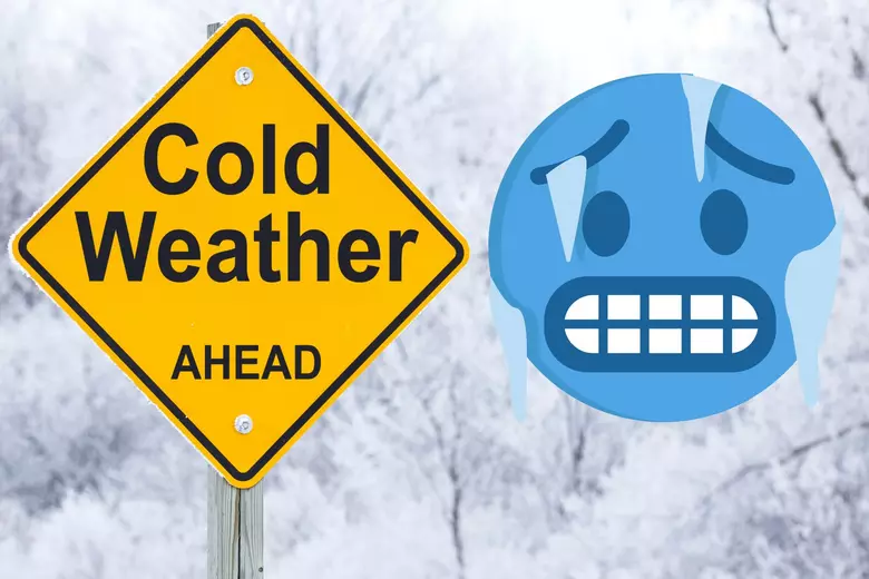
Hoosiers, get ready! This weekend brings a shocking combo of warmer temps and sneaky snow. While Saturday could feel like a mini heatwave in the upper 30s, don’t let it fool you—snow could make an unexpected appearance! Here’s what you need to know to stay one step ahead of Mother Nature.
Saturday’s Forecast: Clouds, Breezes, and a Snow Surprise
Indiana is in for a cloudy and breezy Saturday, with temperatures climbing into the mid to upper 30s—a welcome break from the deep chill. However, snow flurries could sweep across the state, particularly in the morning hours.
Fort Wayne can expect morning snow flurries, shifting to possible rain showers in the afternoon, with highs around 33°F. Indianapolis will be cloudy and breezy with a high near 39°F. South Bend will see more clouds than sun and a high of 33°F, with a chance for light snow. Evansville will be the warmest spot, reaching 47°F with breaks of sunshine. Bloomington will have cloudy skies and a high of 41°F, with a lower snow risk.
Sunday: Cooler Air and Light Snow on the Horizon
Temperatures will dip slightly on Sunday, hovering around 30°F across much of Indiana. The northern regions could see light snow or flurries throughout the day, while central and southern areas remain cold and cloudy.
How to Stay Safe This Weekend
Stay alert on roads as snow and slick conditions could make travel tricky. Leave extra time for driving and keep a winter kit in your car. Weather conditions can change quickly, so stay tuned to local forecasts. Temperatures may feel mild during the day but can plummet at night, so dress in layers and cover exposed skin.
This weekend may keep you on your toes with its wintry surprises. Stay prepared and enjoy Indiana’s weather ride