
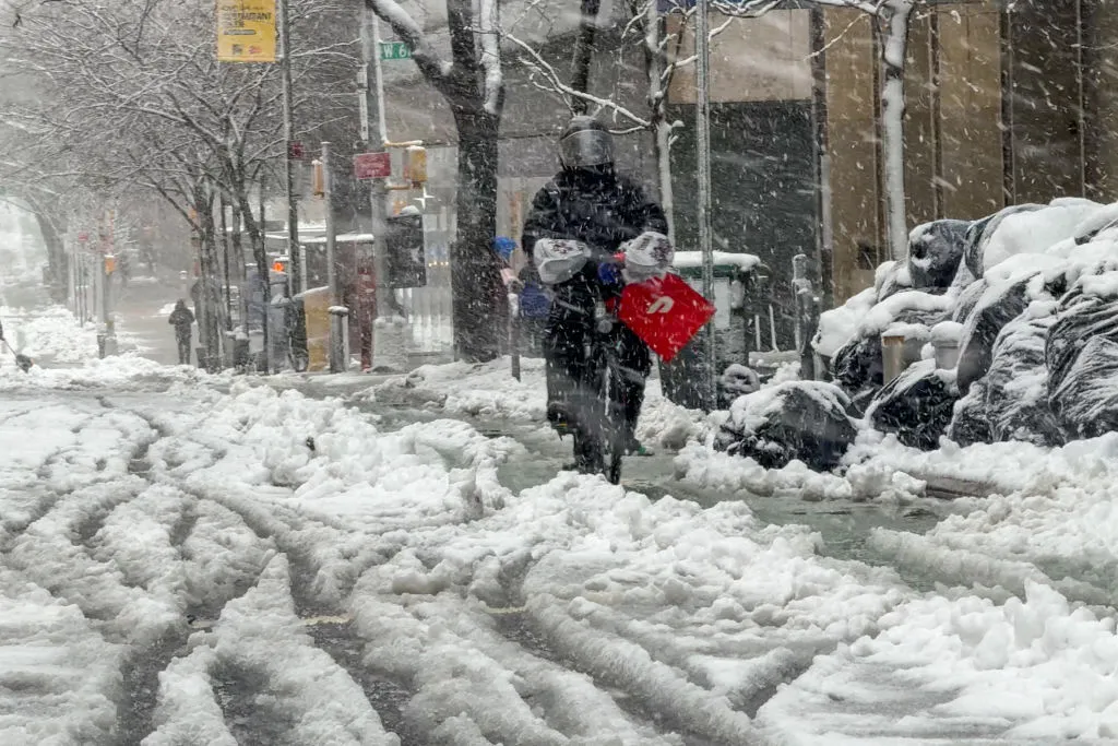
Brace yourselves for a week of unpredictable weather, Brooklynites! From sunny skies to potential snow showers and even freezing rain, here’s what you need to know to stay prepared.

Today’s Forecast
Monday, January 27: Enjoy the sunshine today with a high reaching 41°F (5°C). However, don’t be fooled by the daytime warmth; temperatures are set to dip to a chilly 33°F (1°C) tonight.
Upcoming Days
- Tuesday, January 28: Wake up to a possible morning snow shower. The rest of the day will be mostly cloudy and windy. A sudden burst of snow could make travel tricky, especially in areas north and west of the city. Daytime highs will be around 39°F (4°C), with nighttime lows near 30°F (-1°C).
- Wednesday, January 29: The clouds stick around, and the winds pick up. Be prepared for a possible rain or snow shower in the afternoon. Temperatures will climb to about 45°F (7°C) during the day but will drop sharply to 26°F (-4°C) at night.
- Thursday, January 30: The sun makes a comeback! Expect mostly sunny skies with highs near 36°F (2°C) and lows around 32°F (0°C).
- Friday, January 31: Clouds roll in again, bringing with them rain and drizzle in the afternoon. Anticipate highs of 44°F (7°C) and lows of 33°F (1°C).
- Saturday, February 1: It’s going to be a cold one. Mostly cloudy skies with a chance of rain. Temperatures will peak at 36°F (2°C) and drop to 26°F (-4°C) overnight.
- Sunday, February 2: Start the day with potential snow showers, then mostly cloudy skies will prevail. Highs will be around 36°F (2°C), with lows near 32°F (0°C).

Safety Reminder
With the mix of snow showers and potential freezing rain, roads can become slippery. If you’re driving, especially during the early mornings or late evenings, exercise caution. Stay updated with local weather advisories, and consider delaying travel during peak snow or rain times. Stay warm, stay safe, and keep an eye on the skies, Brooklyn!