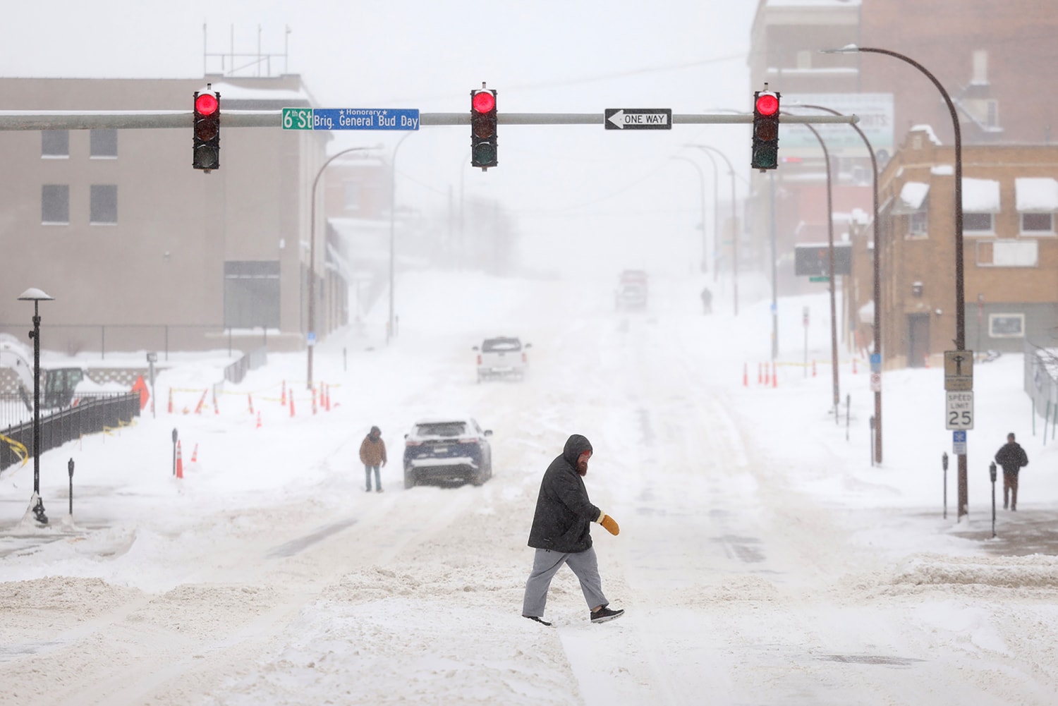
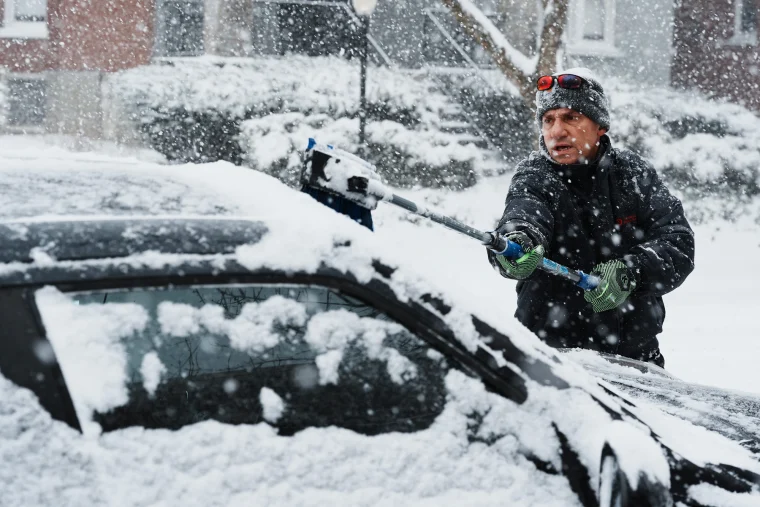
Montana is bracing for a powerful winter storm expected to deliver heavy snow and fierce winds through Monday afternoon, creating hazardous travel conditions and the potential for whiteouts in many areas. The National Weather Service has issued a Winter Storm Warning, urging residents to prepare for a prolonged and potentially dangerous weather event.

Storm Details
A strong storm system will begin impacting the region Friday morning, gradually intensifying over the weekend. Heavy snow combined with strong wind gusts of up to 65 mph will make travel treacherous, especially in mountainous areas and along major passes.
Snowfall and Wind Forecast:
- Heavy Snowfall: Areas at and below mountain pass levels can expect 8 to 16 inches of snow, with higher elevations potentially seeing even greater accumulations.
- Damaging Winds: Gusts up to 65 mph will create blowing and drifting snow, significantly reducing visibility. Whiteout conditions are likely in many areas, especially over higher terrain.
- Timing: The storm will begin Friday morning and persist through Monday afternoon, making for several days of dangerous conditions.
Areas Most Affected:
- East Glacier Park Region: Including towns like East Glacier Park, Kiowa, Saint Mary, and Babb, as well as mountain passes such as Logan Pass and Marias Pass.
- Southern Rocky Mountain Front: Areas along the Continental Divide are expected to bear the brunt of the storm.
Why This Storm Is Dangerous
With a combination of heavy snow and strong winds, this storm is expected to create blizzard-like conditions in some regions. Blowing snow could quickly reduce visibility to near zero, while snow-covered roads and icy conditions will make travel extremely difficult. Wind-driven snowdrifts may block some roads entirely, especially over mountain passes.
What You Should Do:
- Avoid Unnecessary Travel: If you don’t have to travel, stay off the roads until conditions improve.
- Check Road Conditions: If travel is necessary, check road conditions before leaving and ensure your vehicle is equipped with emergency supplies, including blankets, food, water, and tire chains.
- Prepare for Power Outages: High winds and snow buildup could cause power outages, so stock up on essentials, charge devices, and have flashlights ready.
- Backcountry Alert: If you’re planning outdoor activities in the backcountry, reconsider. Conditions could become life-threatening very quickly.

What’s Next?
The storm is expected to gradually weaken by Monday evening, but lingering snow and ice will likely keep some areas hazardous into Tuesday. Road crews will be working overtime to clear snow, but travelers should expect delays and detours. Stay safe, Montana—this storm is one you don’t want to take lightly.

