
Washington’s Eastern Cascades are on high alert as a powerful winter storm is set to sweep across the region, bringing heavy snowfall, strong winds, and dangerous travel conditions. The National Weather Service has issued a Winter Storm Watch from Thursday evening through Saturday afternoon, warning residents to prepare for significant disruptions.

What’s Coming:
- Heavy Snow: Areas above 3,000 feet elevation are expected to see 8 to 18 inches of snow. Lower elevations may receive lighter snowfall, but conditions will still be hazardous.
- Strong Winds: Gusts could reach up to 40 mph, creating blowing and drifting snow that will reduce visibility and make travel treacherous, especially over mountain passes.
- Timing: Snowfall will begin Thursday night, intensify throughout Friday, and taper off by Saturday afternoon.
Major Areas Affected:
- Leavenworth
- Cle Elum
- Winthrop
- Surrounding mountain regions and higher terrains
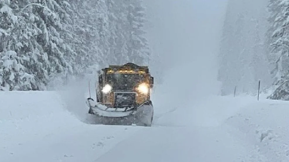
Mountain passes, including Stevens Pass and Snoqualmie Pass, are expected to experience severe impacts with possible road closures or delays.
Why This Storm Is Dangerous:
The combination of heavy snow, gusty winds, and reduced visibility could create near-blizzard conditions in some areas. Drivers traveling through the mountains should expect snow-packed roads and limited sightlines, making it essential to plan and avoid unnecessary travel.
Safety Tips for Residents and Travelers:
- Avoid Mountain Travel: If possible, delay trips until the storm passes and road conditions improve.
- Prepare for the Worst: Keep an emergency kit in your vehicle with blankets, food, water, and tire chains.
- Stay Informed: Check local weather updates and road conditions regularly, especially before heading into affected areas.
- Secure Outdoor Items: Strong winds could knock down tree branches or cause objects to become airborne.

Looking Ahead:
Once the storm subsides on Saturday, conditions will remain icy and snow-covered for several days. Travelers should expect lingering delays and cold temperatures through the weekend. The region’s weather is expected to stabilize next week, but crews will be working overtime to clear mountain roads and restore normal traffic flow. Stay safe and stay prepared—this storm could be a major test for anyone traveling through or living in the Eastern Cascades this weekend.