
A major winter storm is brewing, and residents of Lassen, Eastern Plumas, and Eastern Sierra counties should brace for a weekend of heavy snow, powerful winds, and dangerous conditions. The National Weather Service (NWS) in Reno has issued a Winter Weather Advisory until 10 p.m. Saturday for areas above 5,500 feet, where 4 to 8 inches of snow is expected, and mountain passes could get as much as 10 inches. But that’s just the beginning. A stronger system will move in Saturday night and persist through Monday evening, bringing 1 to 2 feet of snow to higher elevations. With wind gusts reaching 60 mph, this storm could cause widespread power outages, downed trees, and near-blizzard conditions on mountain roads. For those living or traveling in the area, it’s time to prepare for the worst.
Travel Nightmare: Dangerous Roads and Reduced Visibility
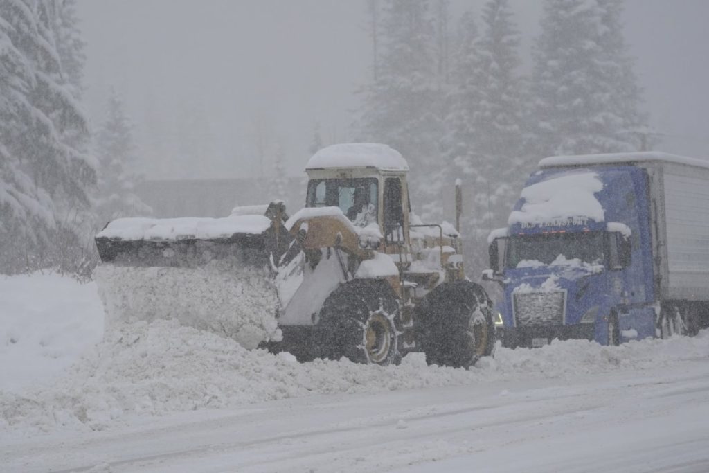
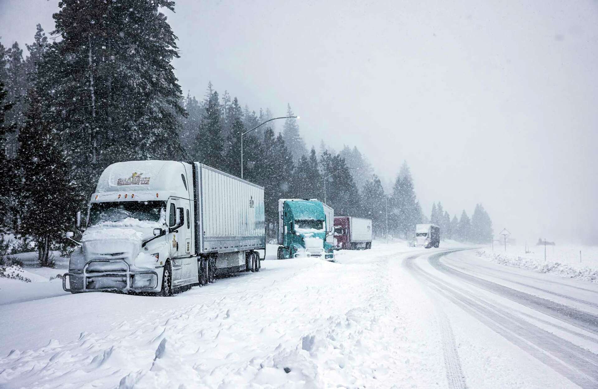
If you’re planning to travel through the Sierra region this weekend, consider changing your plans or be prepared for delays. Mountain roads are expected to be covered in snow, with whiteout conditions making visibility nearly impossible in some areas. Winds gusting up to 35 mph during the first storm and 60 mph by Sunday night will create snowdrifts and slippery surfaces, increasing the risk of accidents.
Friday evening and Monday morning commutes are likely to be the most treacherous, with highways and mountain passes particularly dangerous. The NWS warns that even experienced drivers could find themselves stranded if they underestimate the storm’s intensity.
Residents and travelers are urged to check road conditions frequently by dialing 511 and ensure their vehicles are equipped with tire chains, blankets, flashlights, food, and water. Staying prepared is essential, especially with the threat of falling tree branches and potential road closures.
Prepare for Power Outages and Falling Debris
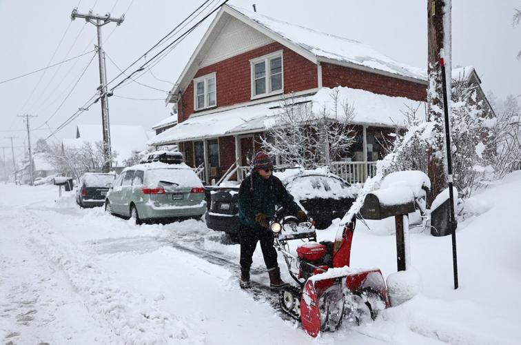
The combination of heavy snow and powerful winds is a recipe for power disruptions. Tree limbs, weighed down by wet snow, could snap and bring down power lines, leaving some areas in the dark. Utility crews are already on alert, but residents should have backup plans in place, including charging devices in advance and stocking up on batteries and non-perishable food.
Snow-packed roads and wind-driven drifts could delay response times for emergency services, so it’s vital to avoid unnecessary travel and stay indoors if possible. Those in remote areas should have enough supplies to last through Monday, as conditions could make certain regions inaccessible.
The storm may leave behind a beautiful blanket of snow, but the risks aren’t worth underestimating. Stay informed by monitoring NWS updates, and be ready for changing conditions. The mountains will be dangerous this weekend—make sure you’re prepared to ride out the storm safely.