
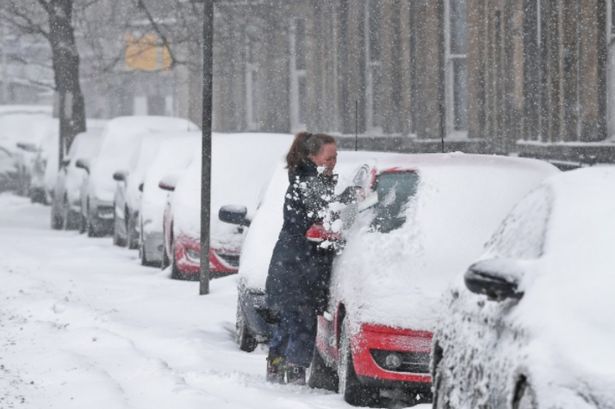
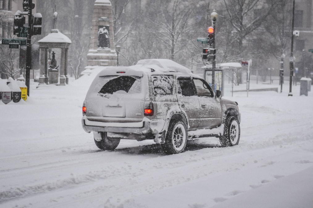
Get ready for a blast of winter, Birmingham! A cold snap is making its way across the city, bringing frosty nights, snow, and slippery roads. With temperatures expected to dip well below freezing, the Met Office has issued warnings for snow and ice, urging everyone to stay alert and take precautions. Today’s mild weather may seem deceiving, but the cold is coming fast. If you’ve got plans for the week ahead, here’s what you need to know to stay safe and warm.
Today (Wednesday, February 5): Mild but Frost on the Way
It’s a good day to run errands or enjoy the outdoors, as today will be mostly dry and bright with a high of 9°C. However, don’t be caught off guard. By tonight, temperatures will drop to -3°C, and frost is expected to cover roads and sidewalks by early morning. Make sure to bundle up if you’re heading out late or first thing tomorrow.
Thursday, February 6: Sunny but Cold
Thursday will greet us with clear, sunny skies, but don’t expect it to feel warm. Temperatures will reach 7°C during the day, but the crisp air will make it feel colder. By night, the temperature will drop to 1°C, so a warm coat and gloves are a must if you’re stepping out after sunset.
Friday, February 7: Showers and Overcast Skies
The sunshine will be short-lived, as Friday brings clouds and a chance of rain later in the day. With a high of 5°C and a low of 1°C, it’s going to be a cold, damp day. The showers could create slick conditions on the roads and pavements, so take it slow, whether you’re driving or walking.
Saturday, February 8: Gloomy and Chilly
Saturday will be a classic winter day—grey, overcast, and cold. Temperatures will top out at 5°C, and overnight lows will dip to 2°C. While there’s no major rain or snow expected, the chilly air and cloudy skies will make it feel colder than it actually is. Stay cozy indoors if you can!
Sunday, February 9: A Brief Break with Some Sunshine
Sunday will offer a little relief as patches of sunshine peek through the clouds. Temperatures will climb to around 7°C, making it the warmest day of the week. But don’t be fooled—the evening chill will return, with temperatures falling to 2°C. It’s the perfect day for a morning walk before the cold sets back in at night.
Why You Should Care
This isn’t just your average winter chill. With temperatures dipping below freezing overnight, ice and frost could create dangerous conditions on roads and sidewalks. Black ice is a major concern, especially in the early mornings or on untreated side streets. Motorists and pedestrians are being urged to take extra care, as even a short trip could become risky.
Tips to Stay Safe
- Slow down while driving: With icy patches expected, avoid speeding and sudden braking. Give yourself plenty of time to stop.
- Wear sturdy shoes: Sidewalks could be slippery, so wear shoes with good traction to prevent falls.
- Check the forecast before heading out: Conditions can change quickly, so stay informed to avoid surprises.
How the City Is Preparing
Local authorities are already preparing to deploy gritting trucks on major roads to minimize ice buildup, but side streets and less-traveled areas could still be hazardous. Schools, businesses, and public transport systems may also face delays or disruptions, so check for updates before heading out. Birmingham is no stranger to cold weather, but this week’s combination of freezing temperatures and precipitation means extra caution is needed. The good news? Temperatures may start to rise by early next week, giving the city a break from the frost and ice. Until then, stay warm and stay safe.