
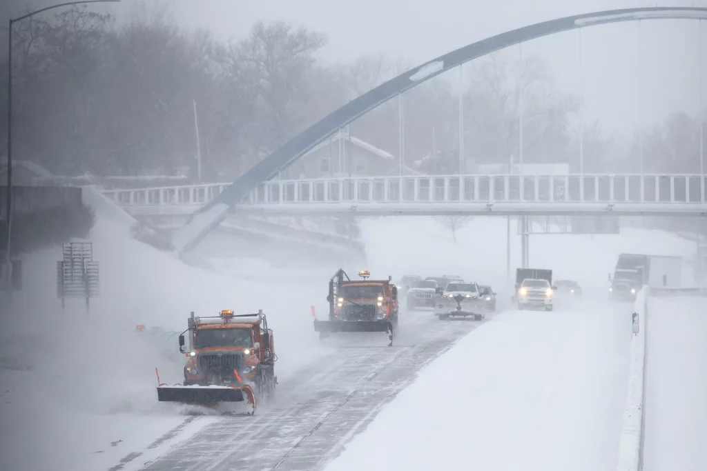
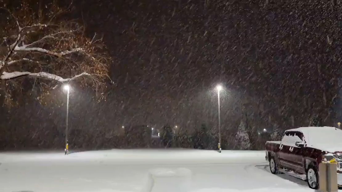
Montana is gearing up for one of its most intense winter storms of the season, with heavy snowfall, subzero temperatures, and life-threatening wind chills expected to create hazardous conditions across the state. The National Weather Service has issued winter storm warnings and advisories as this powerful Arctic front moves in. Travel could become extremely dangerous, with icy roads, whiteout conditions, and brutal cold that could put lives at risk. If you need to run errands, stock up on essentials, or prepare for the storm, do it now—before conditions take a turn for the worse.
Friday: The Calm Before the Storm
Before the worst of the storm arrives, Friday will bring bitter cold and increasing snowfall. Many areas will start the day with light snow showers, but conditions will rapidly deteriorate into the evening.
- Billings: Snow will accumulate 5-10 cm, making for slick road conditions. The high will only reach 9°F (-13°C), with a low plunging to -6°F (-21°C).
- Missoula: Light snow throughout the day, adding 5-10 cm of accumulation. The high will be 22°F (-5°C), dropping to 1°F (-17°C) overnight.
- Great Falls: Snowy and bitterly cold, with a high of just 6°F (-14°C) and a low of -8°F (-22°C).
- Bozeman: Morning freezing fog will transition into snow, with a high of 14°F (-10°C) and a low of -6°F (-21°C).
Saturday: Dangerous Cold and Snow Intensify
By Saturday, the winter storm will be in full force, bringing extreme cold, gusty winds, and periods of heavy snow. Travel is strongly discouraged as roads become slick, icy, and potentially impassable in some areas.
- Billings: Cloudy and dangerously cold. The high will barely reach 24°F (-4°C), with an overnight low of 9°F (-13°C).
- Missoula: Cloudy with scattered snow showers in the afternoon. High of 24°F (-4°C), low of 13°F (-10°C).
- Great Falls: Partly sunny but deceivingly cold. High of 24°F (-4°C), plummeting to 5°F (-15°C) overnight.
- Bozeman: Frigid temperatures persist. High of 16°F (-9°C), dropping to 10°F (-12°C) by night.
Sunday: Subzero Temperatures Take Hold
By Sunday, the worst of the storm will begin to ease, but the dangerous cold will linger. Wind chills will make it feel like -20°F (-29°C) or lower in some areas.
- Billings: Cloudy and bitterly cold. High near 19°F (-7°C), low plunging to -1°F (-18°C).
- Missoula: Lingering flurries possible. High of 29°F (-2°C), with an overnight low of 2°F (-16°C).
- Great Falls: Cold and cloudy, with a high of 12°F (-11°C) and a low of -10°F (-23°C).
- Bozeman: High of 21°F (-6°C), dropping to -3°F (-19°C) overnight.
By Monday and Tuesday, more snow is likely, along with continued bitter cold, keeping conditions dangerous well into next week.
How to Stay Safe During This Dangerous Storm
With severe cold, heavy snow, and dangerous travel conditions expected, here’s how to stay safe:
- Limit travel as much as possible. Roads will be icy, visibility will be low, and wind chills will be extreme. If you must drive, keep an emergency kit in your car with blankets, food, and water.
- Prepare for power outages. Heavy snow and ice could knock out power lines. Have flashlights, extra batteries, and a backup heat source ready.
- Dress for the cold. Wind chills will be brutal, making frostbite a serious risk. Wear multiple layers, gloves, hats, and scarves if you need to go outside.
- Check on your loved ones. The elderly, young children, and pets are especially vulnerable to extreme cold. Make sure they have heat, food, and necessary supplies.
- Stay updated. Weather conditions can change fast. Keep an eye on local forecasts and emergency alerts.
What’s Next? Will This Winter Storm Be the Worst of the Season?
While this weekend’s storm will be severe, it may not be the last. Forecasters are watching another system for late next week that could bring another round of snow and even colder temperatures.
- Monday: High near 15°F (-9°C), low of 5°F (-15°C).
- Tuesday: Another chance for snow, high of 17°F (-8°C), low of 4°F (-15°C).
- Wednesday & Thursday: Dry but bitterly cold, with highs struggling to reach 20°F (-7°C) and overnight lows near -5°F (-20°C).
Montana is no stranger to brutal winter weather, but this storm is one of the most dangerous of the season. Hazardous roads, life-threatening wind chills, and power outages are all possible, making it essential for residents to take precautions now. Stay warm, stay safe, and stay informed—Montana’s winter isn’t letting up anytime soon!