
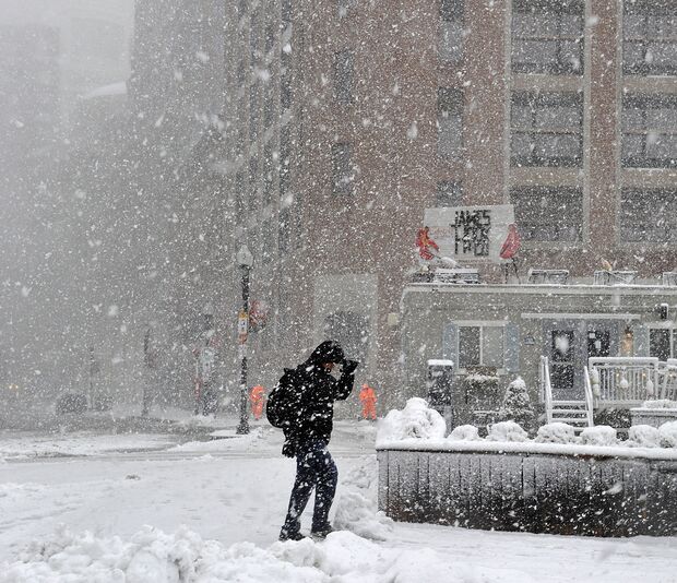
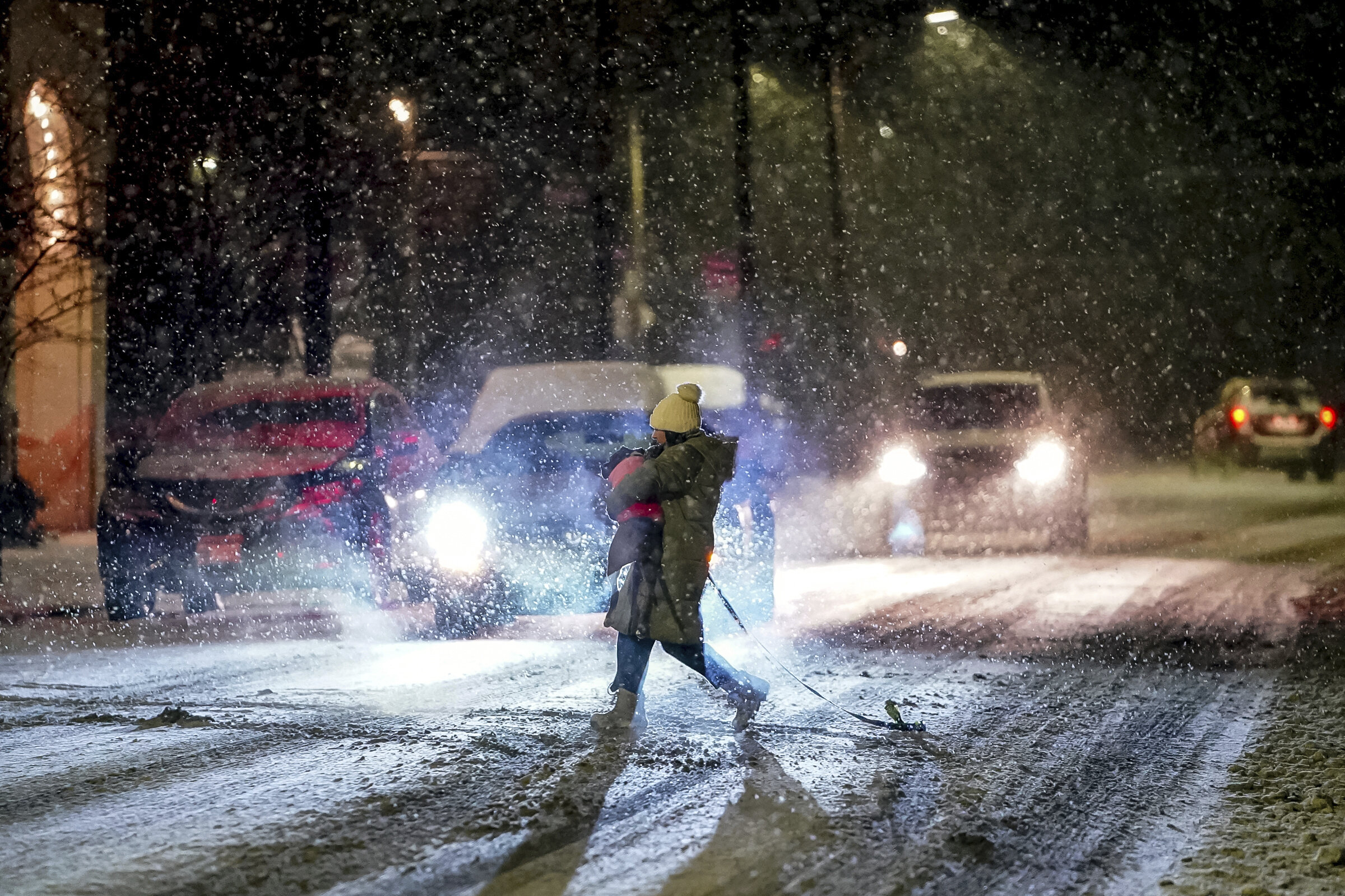
A major winter blast is on the way, and Queens residents need to be ready for a mix of snow, ice, and freezing rain that could make travel dangerous and disrupt daily activities. The National Weather Service has issued warnings for the area, with forecasters predicting back-to-back storms that will bring several rounds of winter weather throughout the week. With slippery roads, subfreezing temperatures, and heavy snow in the forecast, local officials are urging everyone to stay informed and exercise caution. Here’s what the week looks like and how you can prepare.
Monday: A Calm Start but Watch for Ice
The week kicks off with mostly sunny skies, but don’t be fooled—it’ll still be cold. Temperatures will reach a high of 38°F (4°C) before dropping to 25°F (-4°C) overnight. Icy patches leftover from previous weather could make morning commutes slippery, so drivers and pedestrians should be cautious, especially on bridges and untreated roads.
Tuesday: Cloudy Skies with Snow Arriving Late
Tuesday will be mostly cloudy, with highs near 35°F (2°C). As the afternoon progresses, snow showers are expected to move in, with 1 to 3 centimeters of accumulation possible by the evening. Temperatures will dip to 29°F (-2°C) overnight, so any snow that falls could freeze on the roads, making for hazardous driving conditions. If you’re out late, be sure to drive slowly and give yourself extra time.
Wednesday: Snowy Morning with Icy Conditions
Wednesday morning will start with flurries and cloudy skies, with temperatures hovering around 34°F (1°C). As the day goes on, the snow will likely mix with freezing rain, creating icy and dangerous conditions. Roads, sidewalks, and overpasses are expected to be slippery, so be extra cautious during both the morning and evening commutes.
Thursday: A Break in the Storms but Stay Alert
Rain showers will taper off by Thursday morning, but the danger isn’t over yet. Temperatures will warm to 46°F (8°C) during the day, but they’ll drop sharply to 25°F (-4°C) at night, creating the possibility of refreezing. The thaw-freeze cycle could make untreated surfaces icy, so keep an eye on sidewalks and driveways.
Friday and Saturday: Snow Returns
Friday will bring some sunshine but chilly conditions, with a high of 35°F (2°C). By Saturday, clouds will move back in, and snow showers are expected in the afternoon. Highs will reach 41°F (5°C), but the accumulation could be enough to cause slippery roads.
How to Stay Safe This Week
- Drive Slowly: Roads will likely be slick, so reduce your speed and give yourself extra time to travel.
- Layer Up: With freezing temperatures on most days, dress in layers, wear gloves, and protect yourself from the cold.
- Check on Neighbors: Elderly or vulnerable neighbors may need help clearing snow or accessing supplies.
- Monitor Weather Updates: Conditions can change quickly, so check the forecast frequently to stay informed.
With a week of snow and ice ahead, Queens residents should prepare for challenging conditions. Staying cautious and planning will help ensure everyone gets through the week safely. Bundle up, stay safe, and keep an eye on the skies!