
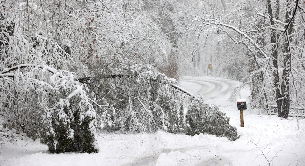
Winter is making its presence known in a big way across West Virginia this week, with not one, but three major winter storms set to sweep through the region. Each storm will bring its own set of challenges, from heavy snow to freezing rain, and officials are warning that road conditions could quickly turn dangerous. Power outages and travel disruptions are possible, so residents should take this time to prepare.
The First Storm Hits Tuesday Morning
The first round of snow will arrive early Tuesday and stick around through the morning hours. Forecasters are expecting 3 to 5 inches of snow, with heavier amounts possible in areas with higher elevations. This could make the morning commute tricky, as roads will be slick and visibility reduced due to falling snow. “If you have to be on the road, give yourself extra time to get where you’re going,” said a local transportation official. “Driving too fast on snowy roads is one of the biggest dangers we see during storms like this.” The snow should taper off by early afternoon, but lingering slick spots will remain throughout the day.
The Second Storm Arrives Wednesday
Just as people start digging out from Tuesday’s snow, another system will move in on Wednesday. This one could be even trickier to navigate, as temperatures in some areas will hover around freezing, leading to a mix of snow, sleet, and freezing rain. In places where snow transitions to ice, roads could become particularly dangerous. “Even a thin layer of ice can make roads feel like skating rinks,” warned a local meteorologist. Residents should avoid driving if possible, especially during peak storm hours.
The Third Storm to Cap Off the Week on Saturday
The final winter storm will arrive Saturday afternoon, bringing another round of snow across much of the state. Although the exact snowfall totals are still being determined, the combination of fresh snow and lingering ice from earlier in the week could create difficult travel conditions once again. “Even if this third storm doesn’t bring heavy amounts of snow, the fact that it’s following two previous storms means we’re looking at potentially hazardous conditions all weekend,” experts say.
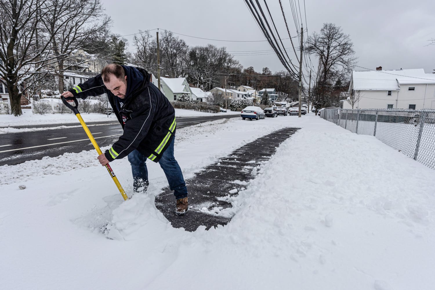
How to Stay Safe
With so much snow and ice expected, here are a few tips to help you weather the storm safely:
- Limit Travel: If you can avoid driving during the worst of the storms, do so. If you must go out, drive slowly and carry an emergency kit with blankets, water, and a flashlight.
- Stock Up on Supplies: Make sure you have plenty of food, water, and medications on hand in case conditions keep you home or the power goes out.
- Check on Neighbors: Elderly or vulnerable neighbors may need help stocking up on supplies or staying warm. A quick check-in could make all the difference.
- Prepare for Power Outages: Charge your devices in advance, and have flashlights and extra batteries ready to go.
Final Thoughts
West Virginia is no stranger to snow, but with three storms hitting back-to-back, this week could be particularly challenging. The key is preparation—if you plan, you can ride out the storms safely. Keep an eye on local weather updates, and take it slow if you have to be on the road. Winter may be showing its toughest side, but West Virginians know how to handle it. Stay safe and stay warm!