
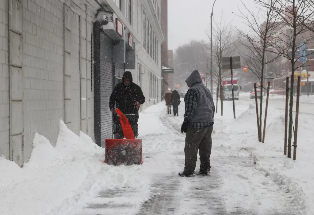
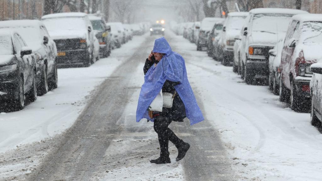
Brooklyn is gearing up for a week of tricky winter weather, and it’s not just about flurries. A series of snowfalls, freezing rain, and rapidly shifting temperatures are expected to create dangerous travel conditions and force residents to stay on high alert. With multiple storms forecast, it’s important to stay informed to avoid being caught off guard. Meteorologists are tracking several waves of precipitation, with the potential for icy roads, slippery sidewalks, and periods of freezing rain. Here’s what to expect and how to stay safe.
Tuesday, February 11
The day starts relatively calm, with cloudy skies and a high of 35°F (2°C). Light snow flurries are likely to develop late in the afternoon and continue into the evening. As temperatures drop to around 30°F (-1°C) overnight, any snow that sticks could make roads slick and dangerous. Drivers and pedestrians should be cautious, as untreated surfaces could become icy.
Wednesday, February 12
Morning commutes will be tricky as leftover flurries from the night before may leave a layer of snow and ice on the ground. With a high of only 36°F (2°C), temperatures will stay cold enough for ice to linger throughout the day. As the evening approaches, rain showers are expected to mix with freezing rain, creating dangerous conditions. Roads and sidewalks could become treacherous, so take extra care when traveling. Temperatures will hover around 33°F (1°C) overnight, keeping the risk of ice high.
Thursday, February 13
Rain will dominate the early morning hours, making for a wet and potentially slippery commute. However, by the afternoon, the weather will improve as temperatures climb to 44°F (6°C), melting some of the accumulated snow and ice. Although the rain will ease up, any leftover water could refreeze as nighttime temperatures dip to 28°F (-2°C). Be aware of icy patches on roads and sidewalks the next morning.
Friday, February 14
A brief break in the action brings some relief. Expect partly sunny skies and a high of 39°F (4°C). However, this calm is short-lived, as meteorologists are monitoring a more powerful storm set to arrive over the weekend. Residents should remain on alert and check weather updates frequently.
Saturday, February 15
Cloudy skies dominate the day, with light rain or snow showers expected during the afternoon. The high will be near 38°F (3°C), and temperatures will stay just above freezing overnight. Wet conditions could cause slippery surfaces, especially on untreated streets and walkways.
Sunday, February 16
Morning rain will taper off, but don’t expect sunshine. Thick cloud cover will remain, and temperatures will hit a high of 47°F (8°C) before plunging to a low of 20°F (-7°C) at night. The sharp drop could cause residual water to freeze, leading to black ice and hazardous conditions.
Safety Tips to Keep You Protected
- Travel: Whether you’re driving or using public transit, allow extra travel time and stay updated on road conditions. Consider postponing any non-essential travel during icy periods.
- Foot Traffic: Sidewalks may be slippery, so wear footwear with good traction and walk carefully. Watch for black ice, especially in shaded areas.
- At Home: Stock up on salt or sand to treat icy patches on driveways and walkways. Prepare for possible power outages by keeping flashlights, batteries, and warm blankets handy.
Winter weather in Brooklyn can be unpredictable, but preparation is key. With several storms lined up, keeping an eye on forecasts and following safety tips will help you stay safe and avoid any major disruptions to your plans. Stay warm, stay safe, and be ready for whatever winter throws your way!