
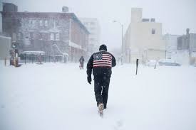
Atlantic City is bracing for a powerful winter storm that’s expected to deliver heavy snow, dangerous travel conditions, and a possible icy aftermath. The National Weather Service has issued a Winter Storm Warning from 4 PM today through 7 AM tomorrow, and residents are being urged to take the storm seriously. With snow totals ranging between 4 and 6 inches—and some areas potentially seeing up to 8 inches—this storm could make traveling treacherous and cause disruptions across the region. As the snow intensifies overnight, roads and sidewalks will quickly become slick and dangerous. Here’s a detailed look at what’s coming and how to stay safe.
Tuesday, February 11: Light Snow Starts in the Afternoon
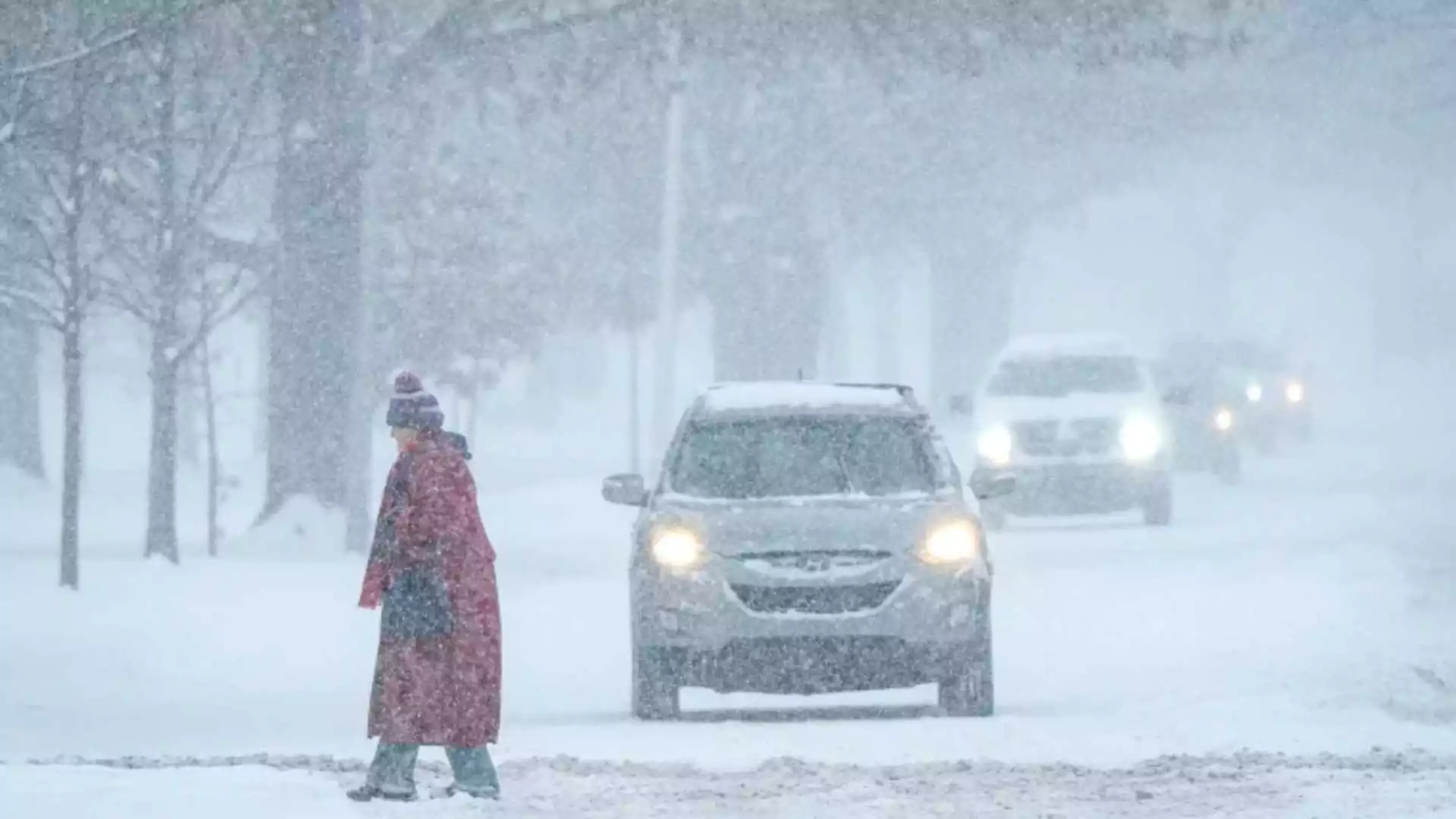
Expect mostly cloudy skies throughout the day, with temperatures reaching a high of 36°F (2°C). Snow will begin falling after 4 PM, but the real trouble will start once the sun sets. Winds will pick up slightly, and light accumulations of about 1 inch are expected before evening. While the early snow won’t be too heavy, it will make the evening commute slippery, so drivers should be cautious. By nightfall, the snow will intensify. Temperatures will drop to around 31°F (-1°C), and northeast winds of 10 to 15 mph could create blowing snow in some areas, reducing visibility on the roads. If you can, avoid driving tonight—conditions will worsen rapidly, especially after midnight.
Wednesday, February 12: Heavy Snow Overnight, Rain Mix Possible
Overnight, the storm will be at its peak, with snow falling heavily at times. New accumulations of 3 to 7 inches are expected before dawn. Morning commuters should expect snow-covered roads, slow travel, and potential delays. Temperatures will rise to a high of 41°F (5°C) during the day, which could cause some of the snow to transition into rain or sleet by late morning. This rain-snow mix could create slushy, slippery streets, especially in residential neighborhoods where plows may not have reached. High winds of 15 to 25 mph could also lead to power outages in areas with heavy, wet snow.
Thursday, February 13: Clearing Skies but Watch for Refreezing
By Thursday morning, the storm will have moved out, but lingering moisture and falling temperatures will be a concern. Highs will reach around 50°F (10°C), helping melt much of the accumulated snow during the day. However, as temperatures drop to 28°F (-2°C) overnight, any remaining slush or puddles could refreeze, creating dangerous black ice on roads and sidewalks.
Friday, February 14: Sunny Skies Return, but Stay Cautious
Valentine’s Day will bring sunny skies and a high near 39°F (4°C), making it a good day to clean up any snow and check for damage caused by the storm. Roads will be mostly clear, but morning black ice could still be an issue, so drivers should be cautious during early commutes.
How to Prepare for the Storm
- Avoid Driving Tonight: Snowfall rates will increase rapidly after 7 PM, making it difficult for plows to keep up. If you can, stay home and avoid unnecessary travel.
- Have Emergency Supplies Ready: Prepare for possible power outages by charging your devices, stocking up on non-perishable food, and having flashlights, batteries, and blankets handy.
- Clear Snow Safely: Shovel your driveway and sidewalks early to prevent ice buildup. If heavy snow accumulates, take breaks while shoveling to avoid overexertion.
- Stay Informed: Monitor weather updates and local news for any changes in the forecast or emergency alerts.
What to Expect After the Storm
The weekend will bring a mix of conditions. Saturday could see additional rain showers, but skies will begin to clear by Sunday. However, temperatures will drop significantly by Sunday night, with lows around 26°F (-3°C). Icy conditions could persist through early next week, so continue to be cautious while driving or walking. This winter storm could cause significant disruptions, but with preparation, you can weather it safely. Stay warm, stay cautious, and keep an eye on updates as the storm progresses.