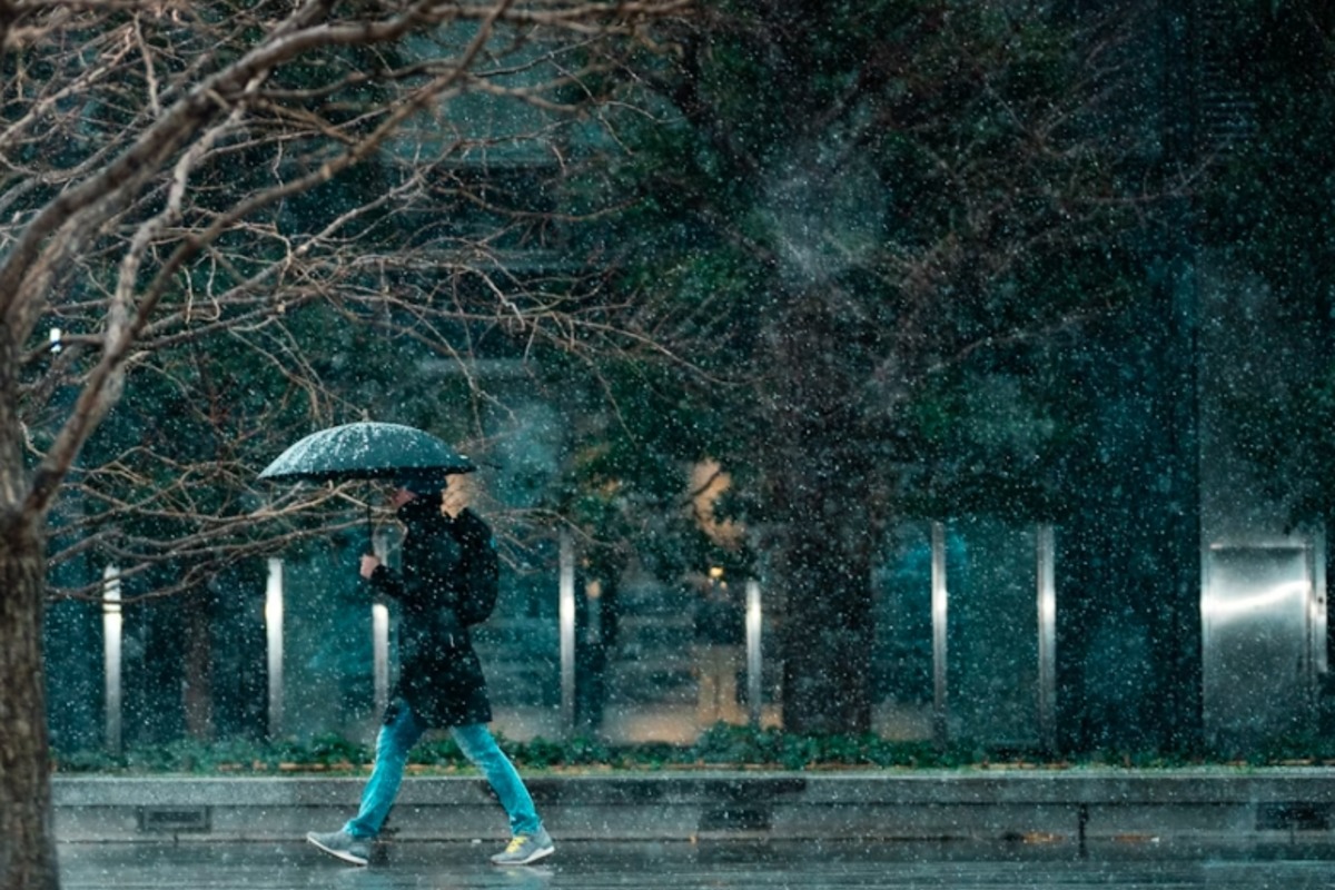
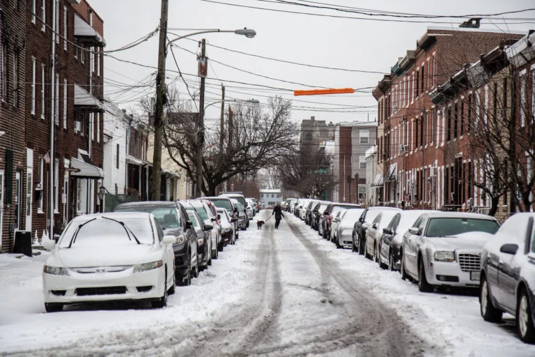
Philadelphia residents need to prepare for a major winter storm that is set to hit the city this weekend, bringing a dangerous mix of heavy snow, freezing rain, and possible power outages. Forecasters are warning that this could be one of the most disruptive storms of the season, with hazardous travel conditions, slick roads, and the potential for flooding as temperatures fluctuate. If you have weekend plans, you may want to rethink them because conditions are expected to get dangerous fast. As of today, Philadelphia is sitting under mostly cloudy skies with temperatures hovering around 34°F (1°C). While everything seems calm right now, don’t be fooled—this storm is rapidly approaching, and once it arrives, it will bring an intense mix of winter weather.
Breaking Down the Storm: What to Expect and When
Thursday will start with morning rain before the skies clear up in the afternoon. Temperatures will rise to 53°F (12°C), but once the sun sets, the temperature will drop to 28°F (-2°C), creating the potential for icy patches on roads and sidewalks.
Friday will be relatively calm, with partly cloudy skies and a high of 38°F (4°C). But don’t let the quiet fool you—this is just the calm before the storm.
By Saturday afternoon, the real trouble begins. Cloud cover will thicken, and precipitation will move in. The high will reach 40°F (4°C), which means snow could start falling before transitioning into freezing rain and sleet overnight. Roads and sidewalks will quickly become slick and dangerous, making travel extremely hazardous. Snowfall totals are still uncertain, but forecasters say that several inches are possible before the transition to icy rain.
Sunday could be the most dangerous day. As temperatures rise to 61°F (16°C), freezing rain will turn into steady rain, melting the snow and creating slushy, wet conditions across the city. With this sudden warm-up and additional rainfall, localized flooding could become a serious issue, especially in areas with poor drainage. When temperatures drop again Sunday night into Monday morning, everything that melted could quickly refreeze, making for a treacherous Monday commute.

How This Storm Will Impact You
- Dangerous Travel Conditions: Roads will become slick Saturday evening, with the worst conditions expected overnight into Sunday morning. If you have weekend plans, be prepared for delays or cancellations.
- Power Outages Possible: Ice buildup on trees and power lines could lead to outages across the city. Charge your devices and have emergency supplies ready in case you lose electricity.
- Flooding Risk: Melting snow and heavy rain could lead to water buildup on streets and sidewalks, especially in areas that typically flood. Be prepared for possible street closures.
How to Stay Safe and Prepare
- Stock Up on Essentials: Have food, water, flashlights, and extra batteries in case of power outages or travel disruptions.
- Stay off the Roads if Possible. If you don’t need to travel, stay home. Snow-covered and icy roads make for a dangerous commute.
- Prepare for Freezing Rain and Ice: If ice accumulates, sidewalks and driveways will become hazardous. Use ice melt and wear proper footwear to prevent slips and falls.
- Check on Vulnerable Neighbors: If you know someone who is elderly or has mobility issues, check in to make sure they are prepared for the storm.
Philadelphia is no stranger to winter storms, but this one has the potential to cause serious disruptions. The dangerous mix of snow, ice, and rain will create treacherous conditions, and the risk of flooding could add to the challenges. If you don’t have to travel, stay inside and stay safe. The best thing you can do now is prepare—this winter storm is shaping up to be a major event.

