
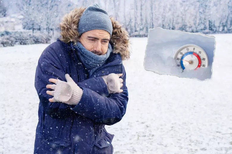
North Dakota is in the middle of an extreme Arctic outbreak, with dangerously low temperatures and wind chills so severe that frostbite could set in within minutes. Officials are urging residents to take the cold seriously as temperatures plummet well below zero, making this one of the harshest winter stretches of the season. As of today, most of the state is locked in a deep freeze. Fargo is struggling at -8°F (-22°C) under mostly sunny skies. Bismarck isn’t much better, hovering at -7°F (-21°C) with thick clouds adding to the winter gloom. Grand Forks is slightly warmer at -5°F (-21°C), but with the brutal wind chills factored in, it feels much colder across the state.
How Cold Will It Get?
North Dakota is no stranger to bitter winters, but this cold snap is extreme, even by local standards. Tonight, temperatures will drop even further, with Fargo and Bismarck expecting lows near -25°F (-32°C). Grand Forks will see similar conditions, with the thermometer plunging to -21°F (-30°C). But the real danger comes from the wind chills, which will push “feels-like” temperatures to an unbearable -40°F or lower. In conditions like these, frostbite can occur in less than 10 minutes, making any outdoor exposure extremely dangerous.

What to Expect Over the Next Few Days
- Fargo: Today will remain bitterly cold, with increasing cloudiness and a high struggling to reach -3°F (-19°C). Tonight, expect a brutal low of -25°F (-32°C), making for a dangerously cold morning commute. Thursday brings sunshine, but don’t expect much warmth—the high will only reach 0°F (-18°C), with another frigid night ahead. By Friday, there’s a slight improvement, with temperatures climbing to 12°F (-11°C) and a chance of light snow in the afternoon.
- Bismarck: Thick clouds dominate today, with a high near -3°F (-19°C) before the temperature plummets to -25°F (-32°C) overnight. The cold eases slightly on Thursday, reaching 15°F (-10°C) under sunny skies. But the warmth won’t last long—Friday turns colder again, with highs only reaching 9°F (-13°C) and another round of snow possible.
- Grand Forks: Today’s high barely reaches -1°F (-18°C) before dipping to -21°F (-30°C) overnight. Thursday will bring some sunshine, but it won’t do much to warm things up, with a high of just 2°F (-17°C). Friday stays frigid, with a high of 6°F (-14°C) and increasing clouds.
How to Stay Safe in This Extreme Cold
- Avoid Prolonged Outdoor Exposure: With wind chills this extreme, even a few minutes outside can be dangerous. If you must go out, wear multiple layers, cover all exposed skin, and keep trips as short as possible.
- Check on Vulnerable Individuals: The elderly, children, and those with medical conditions are at higher risk in extreme cold. Ensure they have adequate heating, food, and emergency supplies.
- Prepare for Possible Power Outages: Strong winds and extreme cold can put stress on power grids. Have flashlights, blankets, and non-perishable food on hand in case of outages.
- Keep Pets Indoors: If it’s too cold for you, it’s too cold for them. Limit outdoor walks and ensure pets have a warm place to stay.
Final Thoughts
This Arctic blast isn’t just a typical winter chill—it’s dangerously cold, with conditions that could turn deadly in minutes. North Dakotans are tough, but this level of cold requires extra caution. If you don’t need to go outside, stay indoors. If you do, bundle up and limit your exposure. With temperatures expected to remain frigid for the next few days, staying informed and prepared is the best way to get through this brutal winter stretch. Stay safe, North Dakota!