
Georgia residents are being urged to prepare for widespread heavy rain and potential flash flooding as a Flash Flood Watch remains in effect through Thursday morning. The National Weather Service (NWS) warns that 2 to 4 inches of rain are expected across the state, with some areas seeing up to 6 inches.
The heaviest rainfall is predicted to hit Wednesday afternoon through early Thursday, increasing the risk of rapid flooding in low-lying and flood-prone areas.
Areas Under Flash Flood Watch
The Flash Flood Watch covers much of North Georgia, including metro Atlanta, with the highest flood risks in counties such as Cherokee, Cobb, Forsyth, Hall, Paulding, Floyd, and Bartow. Officials warn that smaller creeks and rivers could quickly rise to dangerous levels, making travel hazardous.
Residents in Dawson, Pickens, Gilmer, Lumpkin, and White counties should also be on alert, as these mountainous regions are especially vulnerable to mudslides and flash flooding due to steep terrain and heavy runoff.
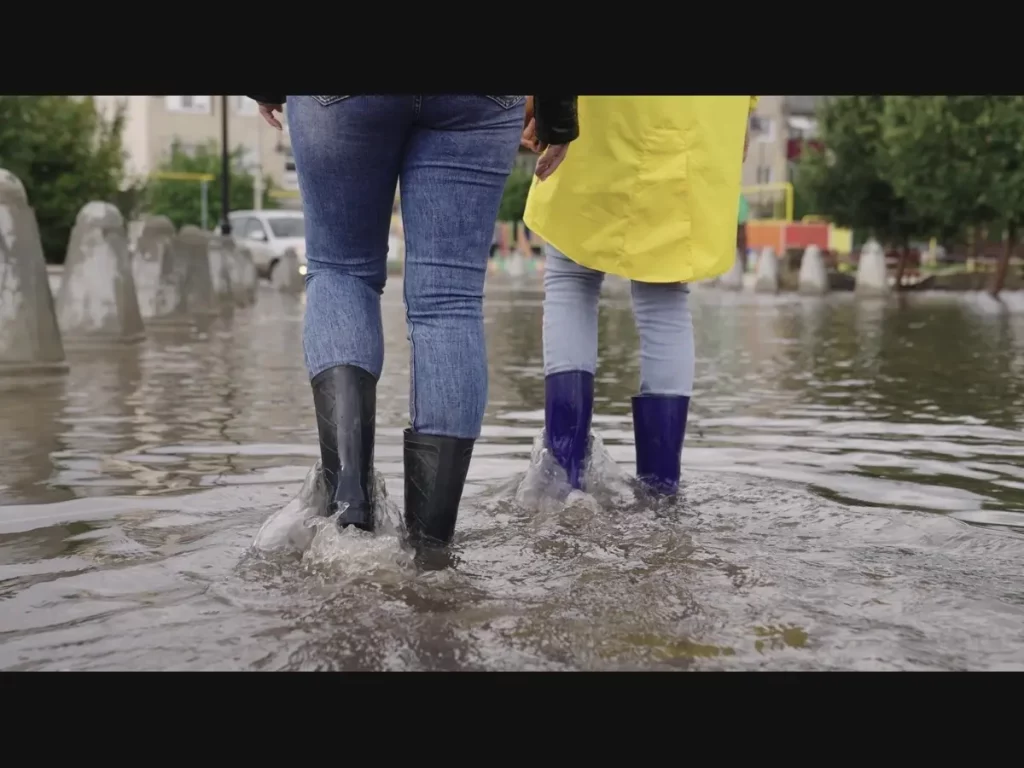
Potential Hazards & Travel Impacts
Excessive rainfall could cause flooded roads, washed-out bridges, and stranded vehicles. Drivers are urged to avoid travel in flood-prone areas and never attempt to drive through standing water, as even a few inches can be deadly.
Urban areas, especially those with poor drainage systems, could experience flash flooding that disrupts traffic, public transportation, and daily commutes.
Safety Tips for Residents

- Stay Weather-Aware – Monitor updates from the National Weather Service and local authorities.
- Prepare for Power Outages – Have flashlights, batteries, and backup power sources ready.
- Avoid Flooded Roads – If you see standing water, turn around, don’t drown.
- Move to Higher Ground – If flooding occurs near your home, evacuate immediately.
- Check on Neighbors – The elderly and those with disabilities may need assistance.
What’s Next?
Rain is expected to continue into Thursday morning, with conditions improving later in the day. However, rivers and streams may remain at dangerous levels for several days, and additional rain later in the week could worsen the situation.
Residents are advised to stay vigilant, follow evacuation orders if necessary, and report any blocked drainage systems or downed power lines to local authorities.