
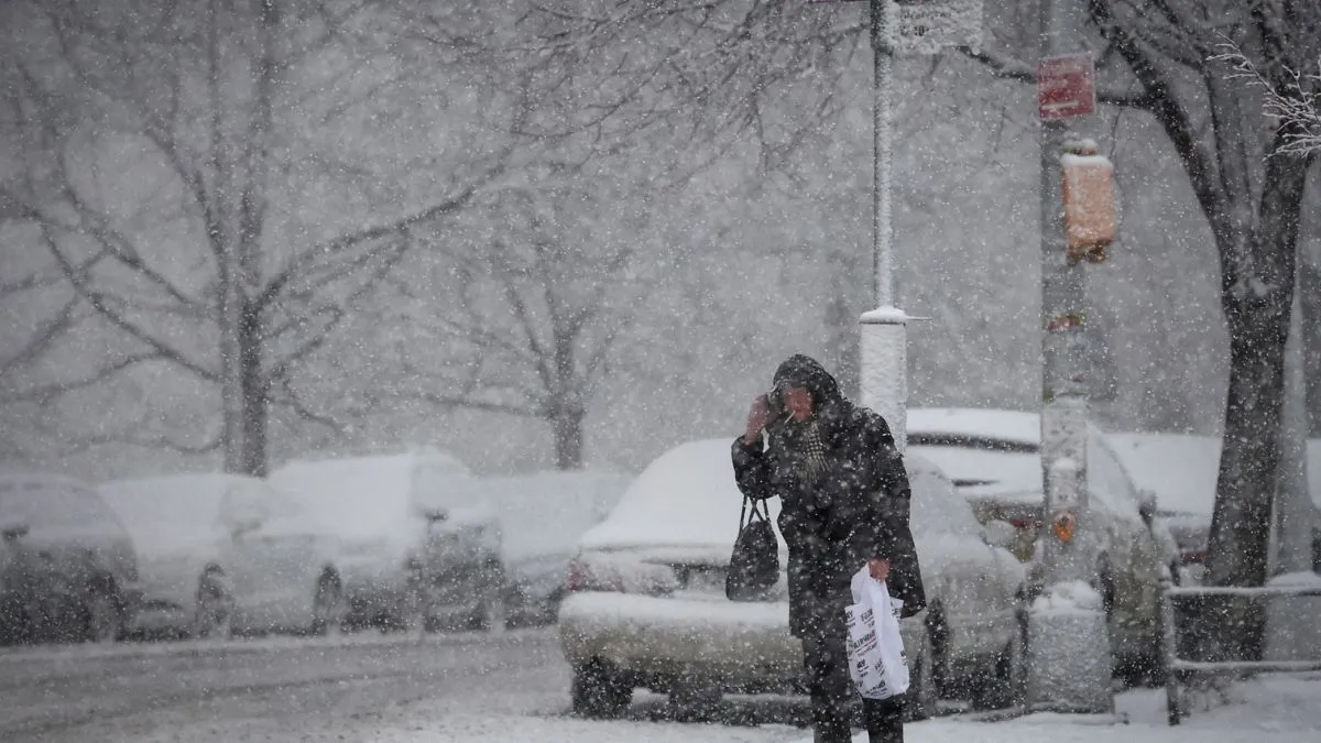
A powerful winter storm is set to hit Hamtramck and surrounding areas this weekend, bringing a dangerous mix of snow and ice that could create hazardous road conditions and potential travel delays.
According to the National Weather Service, the storm will move into Michigan on Saturday, February 15, and continue through Sunday, February 16, affecting both commuters and residents. With slick roads, freezing temperatures, and poor visibility, authorities are warning people to prepare for difficult driving conditions and possible disruptions.
Storm Timeline and Expected Weather Conditions
- Saturday, February 15: Snow is expected throughout the day, with 5 to 10 centimetres of accumulation possible. Temperatures will be cold, reaching a high of 36°F (2°C) and dropping to 25°F (-4°C) overnight. Roads could become snow-covered and icy as the storm intensifies.
- Sunday, February 16: Conditions will worsen as temperatures drop even further. Snow flurries are likely, with a high of 29°F (-2°C) and an overnight low of 12°F (-11°C). Any melted snow could refreeze overnight, making roads even more hazardous by Monday morning.
How Will the Storm Impact Travel?
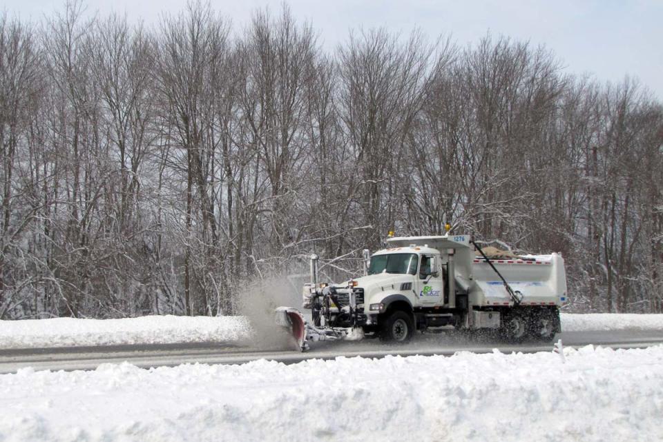
With snowfall, ice buildup, and strong winds, travel could become dangerous across the Hamtramck area.
- Slick and icy roads will increase the risk of accidents and traffic slowdowns.
- Poor visibility could make driving difficult, especially at night.
- Public transportation services may experience delays or cancellations.
- Air travel disruptions are possible, so travellers should check flight statuses before heading to the airport.
Authorities are advising residents to limit unnecessary travel and to prepare for potential delays if heading out.
How to Stay Safe During the Winter Storm
With severe winter weather approaching, preparation is key to staying safe. Here’s what residents should do:
✔️ Stay updated with local weather alerts and forecasts.
✔️ Avoid unnecessary travel – if you must drive, allow extra time and drive slowly.
✔️ Prepare your vehicle with an emergency kit, ice scraper, extra blankets, and a full gas tank.
✔️ Stock up on essentials such as food, water, batteries, and flashlights in case of power outages.
✔️ Check on vulnerable neighbours and help those who may need assistance preparing for the storm.
What to Expect Next
The storm’s exact snowfall totals and impact areas could change as it develops, so residents should monitor weather updates closely. Officials will continue issuing advisories and travel warnings as needed.
For the latest updates, stay tuned to local news channels and the National Weather Service. Be prepared, stay warm, and take caution if heading out into the winter storm this weekend.