
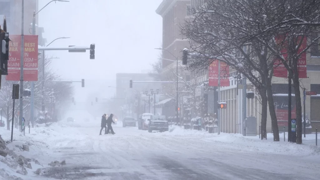
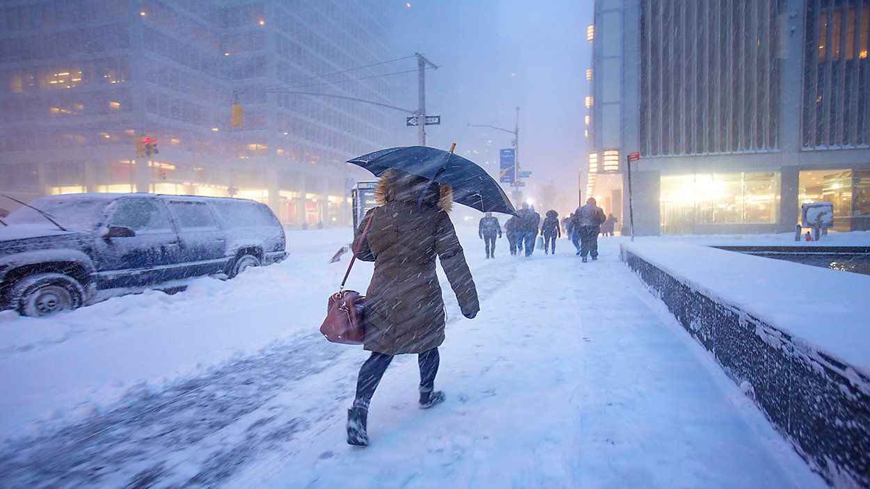
Brooklyn residents, be prepared—the weather is about to take a dramatic and dangerous turn this weekend. A powerful winter storm is set to bring a mix of snow, sleet, heavy rain, and strong winds, followed by a sharp drop in temperatures. Travel will be difficult, roads will be hazardous, and icy conditions could make stepping outside risky. If you haven’t planned, now is the time to do so.
Friday, February 14 – A Calm Start Before the Storm
Friday will start on a relatively quiet note, with partly sunny skies and temperatures reaching 39°F (4°C) during the afternoon. Winds will begin to pick up later in the day, signaling the arrival of an incoming storm system. Light snow is expected to develop late in the evening, with accumulations of up to 1 cm. While this might not seem like much, conditions will worsen significantly overnight as the storm strengthens. Anyone heading out for evening plans should watch for slippery sidewalks and roads.
Saturday, February 15 – Snow, Rain, and a Sloppy Mess
Saturday will bring a wintry mix of snow and rain, making travel conditions difficult and unpredictable. Snowfall will intensify early in the morning, with Brooklyn expected to receive an additional 1-3 cm. However, as temperatures climb to 36°F (2°C), the snow will turn into rain, creating a slushy mess across the borough. Drivers and pedestrians should be extremely cautious, as roads and sidewalks will be wet, slick, and icy. Potholes and flooding in low-lying areas could also become an issue. The combination of cold air, moisture, and gusty winds will make it feel much colder than the actual temperature.
Sunday, February 16 – A Deep Freeze Takes Hold
By Sunday, the storm will begin to move out, but colder air will rush in behind it. Temperatures will briefly reach 47°F (8°C) during the day, but don’t let that fool you—by nighttime, the mercury will plummet to 24°F (-4°C). This sudden temperature drop means that any leftover rain or melted snow will quickly freeze, creating dangerous black ice on roads and sidewalks. The wind will also pick up speed, making it feel even colder than the actual temperature.
Monday, February 17 – The Coldest Air of the Season Moves In
If you thought Sunday was bad, Monday will be even worse. Arctic air will tighten its grip on Brooklyn, with a high of only 35°F (2°C) and an overnight low of 18°F (-8°C). Wind chills could make it feel even colder, putting anyone outside at serious risk of frostbite or hypothermia. By this point, any untreated roads and sidewalks will be covered in ice, making walking and driving extremely dangerous. Those who must go out should dress in multiple layers, wear insulated gloves, and cover all exposed skin to avoid frostbite.
How to Stay Safe During This Extreme Weather Event
- Avoid Traveling if Possible: Snow, ice, and freezing rain will make roads hazardous. If you must drive, take it slow and use extra caution.
- Beware of Black Ice: Freezing temperatures overnight will cause icy conditions on roads, sidewalks, and bridges. Watch your step when walking outside.
- Prepare for Power Outages: Strong winds and icy conditions could knock down power lines. Have flashlights, blankets, and extra supplies ready in case of an outage.
- Dress for Extreme Cold: The temperature swings will be intense—wear layers, a hat, gloves, and waterproof boots to stay warm and dry.
Brooklyn, this is not just another winter storm—this could be a serious and dangerous weather event. Stay informed, prepare for rapidly changing conditions, and take the necessary precautions to stay safe this weekend.