

Columbus residents, get ready for a wild ride of weather changes this weekend. What starts as a relatively calm and cloudy few days will quickly turn into a stormy mix of rain, snow, and plunging temperatures. If you have weekend plans, it’s best to prepare now because conditions will be unpredictable and possibly dangerous.
Friday, February 14 – The Calm Before the Storm
Friday will be a relatively mild day, with mostly sunny skies giving way to increasing cloud cover as the afternoon progresses. Temperatures will reach a high of 34°F (1°C), and winds will remain light, shifting to the east at around 6 mph later in the day. It might feel like a typical February day, but big changes are coming as we move into the weekend.
Saturday, February 15 – Rain Moves In
By Saturday, Columbus will be dealing with intermittent rain showers throughout the day. While it won’t be a torrential downpour, steady rain could lead to ponding on roads and make travel tricky. The temperature will climb to 41°F (5°C) during the day, staying just warm enough to keep precipitation as rain rather than snow. However, by the evening, temperatures will start to drop, dipping to 34°F (1°C). While that’s still above freezing, colder air moving in overnight could set the stage for more hazardous weather as we head into Sunday.
Sunday, February 16- A Messy Storm Arrives
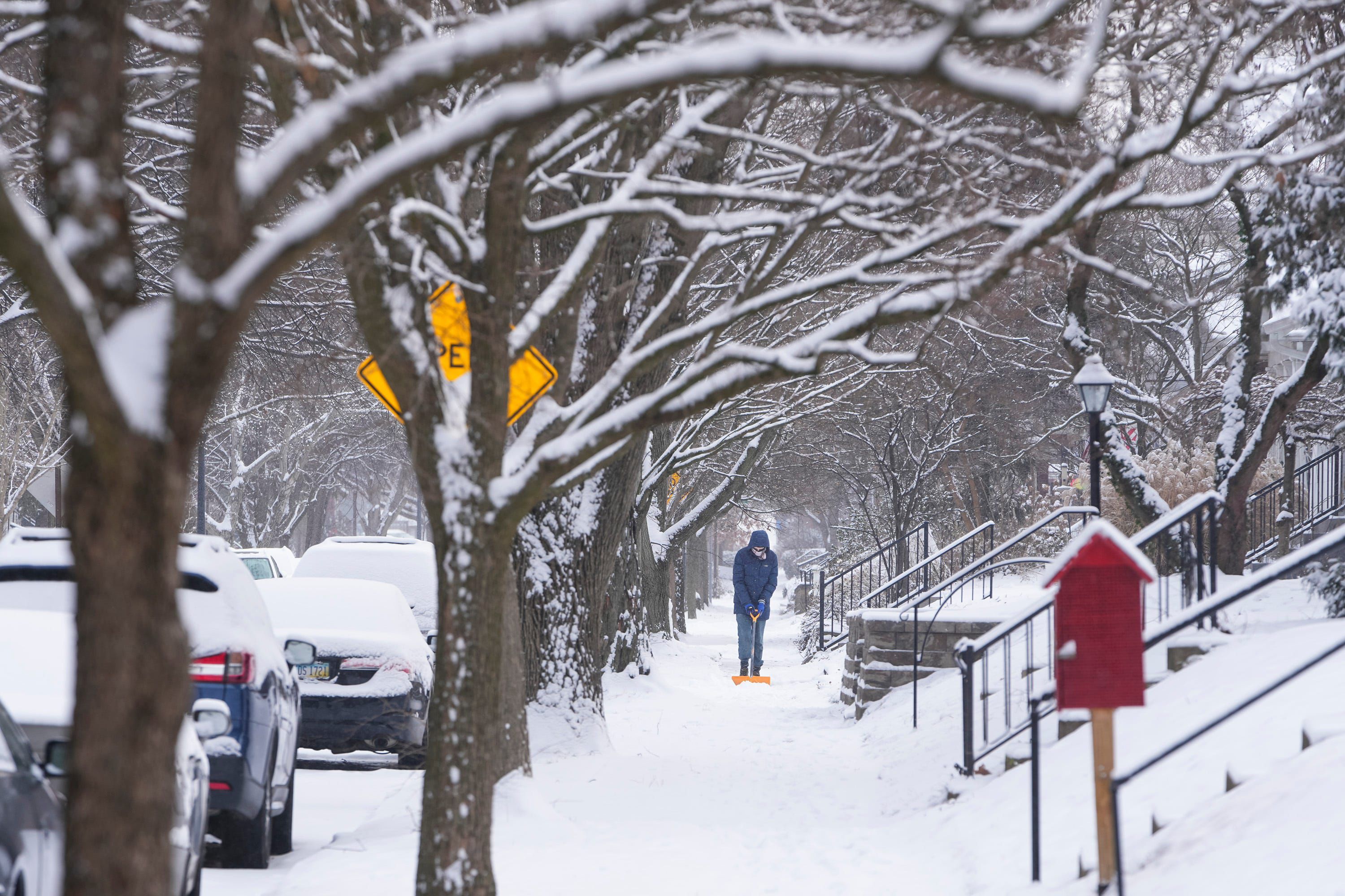
Sunday will be a much more weather day, as a storm system brings strong winds, rain, and snow. The day will start with a mix of rain and snow, which could accumulate between 1 to 3 cm in some areas. As the daytime high reaches 38°F (3°C), much of the snow may turn into rain again. However, a sharp drop in temperatures overnight—down to a frigid 14°F (-10°C)—will quickly refreeze any remaining moisture, making roads dangerously icy by Monday morning.
Monday, February 17 – A Brutal Deep Freeze
After the storm moves out, bitter cold air will settle in, bringing the coldest temperatures of the season so far. Monday’s high will only reach 23°F (-5°C), and overnight, it will plummet to a shocking 9°F (-13°C). Meteorologists are already keeping an eye on another potential winter storm later in the week, meaning this cold snap may not be going anywhere soon.
What This Means for You
- Icy Roads Expected: Snow and rain will freeze overnight Sunday, making Monday morning’s commute treacherous.
- Flooding Possible: Heavy rain on Saturday may cause minor flooding in low-lying areas and pooling water on roads.
- Prepare for Power Outages: Strong winds, cold air, and icy conditions could bring down tree branches and lead to power disruptions.
- Dress for the Cold: With temperatures plunging rapidly, be sure to layer up, wear waterproof shoes, and prepare for wind chills.
Columbus, this storm is not to be underestimated. Stay informed, prepare for sudden changes, and take precautions to stay safe and warm this weekend.