
Queens residents need to prepare for a dramatic weather shift this weekend, as a strong storm system is set to bring a mix of snow, heavy rain, and a sharp drop in temperatures. Conditions will change rapidly, making travel difficult, increasing the risk of flooding, and creating dangerously cold conditions to start the week. If you have weekend plans, prepare for possible disruptions and hazardous weather.
Friday, February 14 – A Calm Start Before the Storm Arrives
Friday will begin on a relatively quiet note, with mostly sunny skies and a high near 39°F (4°C). While it may feel like a typical February day, the winds will start picking up by the afternoon, signaling the arrival of a major weather system that will bring dramatic changes over the next 48 hours. By Friday night, clouds will increase, and temperatures will drop to 34°F (1°C), setting the stage for the incoming storm.
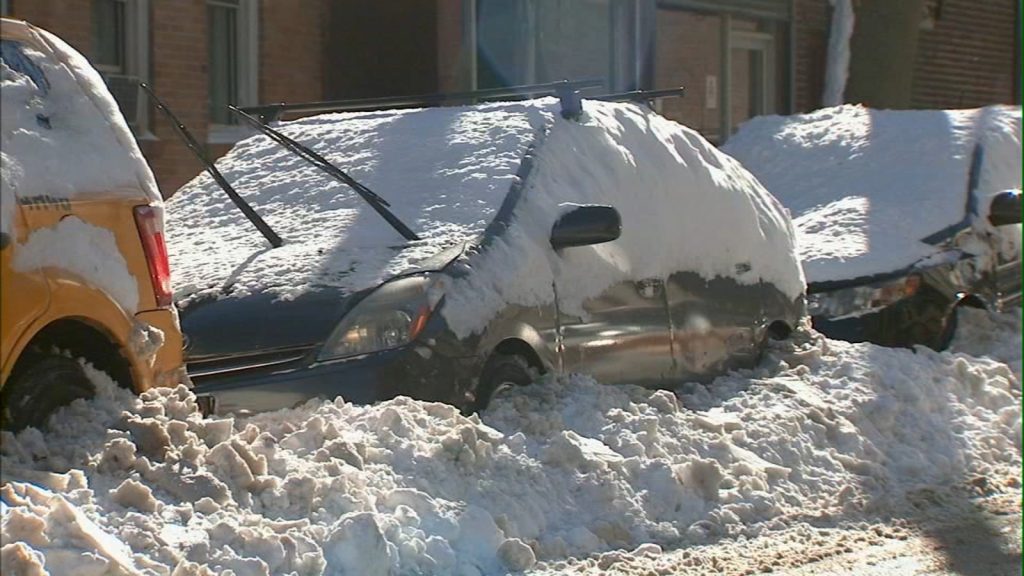
Saturday, February 15 – Snow, Sleet, and Slippery Roads
On Saturday, Queens will wake up to thick cloud cover, with snow and sleet developing in the afternoon. While snowfall totals will remain on the lighter side (a coating to 1 cm), temperatures will be just cold enough to make roads and sidewalks slick. The high will reach 36°F (2°C), and as the evening progresses, temperatures will hover just above freezing, causing the snow to transition into rain. With moisture lingering on the roads, black ice could form overnight, creating hazardous travel conditions for those heading out.

Sunday, February 16 – Heavy Rain and Possible Flooding
Sunday will bring a drastic shift in weather, as warmer air moves in, turning Saturday’s snow into heavy rain. Temperatures will rise to 48°F (9°C), but the warm-up comes at a cost—steady, heavy rainfall and possible thunderstorms. The biggest concerns on Sunday will be flooding and poor visibility:
- Low-lying streets could flood quickly as rain falls on top of melting snow.
- Drivers should be cautious, as water buildup on roads may cause hydroplaning and traffic delays.
- Gusty winds could make conditions even more challenging, especially near bridges and open areas.
By the evening, the storm will start to clear out, but colder air will rush in, setting up a major temperature drop overnight.
Monday, February 17 – A Dangerous Arctic Freeze
By Monday morning, Queens will feel dramatically different, as temperatures plummet to 18°F (-8°C). The sudden freeze will turn any leftover rain into solid ice, creating extremely hazardous conditions on roads and sidewalks. The high temperature will barely reach 33°F (1°C), but wind chills will make it feel much colder. Anyone stepping outside will need multiple layers, gloves, and hats to prevent frostbite.
How to Stay Safe During Queens’ Extreme Weekend Weather
- Avoid Unnecessary Travel: Snow, heavy rain, and freezing temperatures will make roads treacherous all weekend. If you must drive, take it slow and be prepared for delays.
- Watch for Flooding: With steady rainfall on Sunday, streets and low-lying areas could flood quickly. Never attempt to drive through standing water—just a few inches could stall your car.
- Prepare for Black Ice: Any remaining moisture will freeze as temperatures drop sharply Sunday night, making Monday morning’s commute extremely dangerous.
- Dress for the Cold: The brutal temperature drop could put anyone outside at risk for frostbite. Wear layers, gloves, and a hat to stay warm.
Queens, this is not just another winter storm—conditions will change fast, and staying informed is critical. Keep a close eye on the forecast, be prepared for delays, and take all necessary precautions to stay safe!