
Florida residents are bracing for a weekend of extreme weather fluctuations, with forecasts predicting record-breaking heat followed by severe thunderstorms and potential tornadoes. Meteorologists are urging the public to stay informed and take necessary precautions as these rapidly changing conditions unfold.
Saturday: Unprecedented Heat Grips the State
The weekend begins with soaring temperatures across Florida, with several regions expected to break historical records.
-
Tampa: Anticipated to reach a scorching 87°F (31°C), surpassing the previous record of 84°F set in 1990. Residents are advised to stay hydrated and avoid prolonged sun exposure.
-
Orlando: Forecasted to experience a high of 84°F (29°C) under partly sunny skies. Such unseasonably warm weather may lead to increased energy consumption as air conditioning units work overtime.
-
Jacksonville: Expected to see temperatures climb to 81°F (27°C), approaching the record of 82°F set in 2001. The uncharacteristic warmth has prompted local authorities to remind citizens about heat-related health risks.

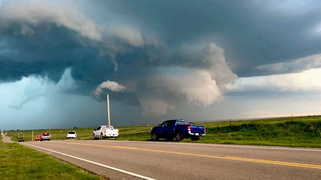
Sunday: Severe Storms and Tornado Risks Emerge
Following the heatwave, a potent cold front is projected to sweep through the region, triggering severe weather conditions.
-
Panhandle and North Florida: Areas from Pensacola through Panama City are under a slight risk for severe weather, including damaging wind gusts up to 75 mph and the possibility of isolated tornadoes. The National Weather Service (NWS) indicates that the threat will intensify after sunset on Saturday and persist into Sunday afternoon.
-
Bay County: The NWS in Tallahassee has issued warnings for potential severe weather over the weekend. Residents should prepare for damaging winds and the chance of a tornado or two, especially from Saturday night through Sunday afternoon.
-
Jacksonville: Forecasts predict periods of rain and thunderstorms on Sunday morning, accompanied by strong winds. Some storms may bring flooding downpours and localized damaging wind gusts.
Monday: Cooler Temperatures and Clearing Skies
In the wake of the cold front, Floridians can expect a respite from the extreme weather.
- Statewide: Temperatures are projected to drop to more seasonable levels, with highs ranging from the low 60s to mid-70s°F. Skies will clear, offering plenty of sunshine and reduced humidity.
Safety Precautions and Recommendations
Given the anticipated severe weather conditions, residents are strongly advised to:
-
Stay Informed: Regularly monitor local weather updates and heed any advisories or warnings issued by authorities.
-
Prepare for Severe Storms: Secure outdoor objects that could become projectiles in high winds. Ensure that emergency kits are stocked with essentials, including flashlights, batteries, and first-aid supplies.
-
Exercise Caution on Roadways: Heavy rainfall can lead to flash flooding and hazardous driving conditions. If travel is necessary, reduce speeds and maintain a safe distance from other vehicles.
-
Protect Against Heat-Related Illnesses: During periods of extreme heat, stay hydrated, wear lightweight clothing, and avoid strenuous outdoor activities during peak sun hours.
Florida is poised to experience a dramatic swing in weather conditions this weekend, transitioning from record-breaking heat to severe storms with potential tornadoes. Residents are urged to remain vigilant, stay informed through reliable weather updates, and prioritize safety as the situation develops.