
Iowa residents are being urged to prepare for one of the most dangerous winter storms of the season, bringing heavy snowfall, whiteout conditions, and an Arctic blast that will send temperatures plunging below zero. The National Weather Service (NWS) has issued winter storm warnings, advisories, and wind chill alerts across the state, warning that travel could become treacherous and frostbite can occur in minutes.
Saturday: Heavy Snow and Hazardous Travel Conditions
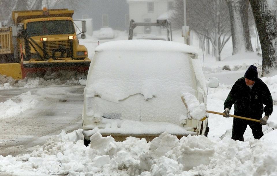
A powerful winter storm system will move across Iowa on Saturday, February 17, blanketing the region in snow and creating dangerous travel conditions.
- Des Moines: Snow will accumulate 3 to 6 inches, with gusty winds reducing visibility. Travel conditions will deteriorate by Saturday evening.
- Cedar Rapids: Expect 4 to 7 inches of snow, along with strong winds that could cause blowing and drifting snow.
- Davenport: Snow totals of 3 to 5 inches, with temperatures quickly dropping into the teens overnight.
Wind gusts of up to 30 mph will make conditions even more hazardous, creating near-blizzard conditions in some areas. Officials are advising against unnecessary travel.
Sunday: Arctic Blast Brings Life-Threatening Cold
As the snow begins to taper off, a brutal Arctic air mass will take hold, causing temperatures to drop rapidly.
- Morning temperatures will start in the 20s but will plummet to single digits by evening.
- Wind chills will make it feel like -20°F to -30°F, making outdoor exposure extremely dangerous.
- Any leftover moisture on roads will freeze, leading to black ice and treacherous travel conditions.
Even brief exposure to the cold can result in frostbite within minutes, particularly in northern and central Iowa, where wind chills will be the most severe.

Monday: Frigid Temperatures Continue
The bitter cold will remain locked in place to start the new week, with daytime highs barely climbing above zero in some areas.
- Des Moines: High of 6°F (-14°C), low of -10°F (-23°C).
- Cedar Rapids: High of 5°F (-15°C), low of -12°F (-24°C).
- Davenport: High of 9°F (-13°C), low near -7°F (-22°C).
Wind chills could dip to -35°F in northern Iowa, making frostbite possible in under five minutes. Schools and businesses may delay openings or close entirely due to the dangerous conditions.
How to Stay Safe During This Extreme Winter Event
- Avoid Unnecessary Travel– Snow-covered roads, low visibility, and freezing temperatures will make driving extremely dangerous. If you must go out, carry emergency supplies in your vehicle.
- Dress in Layers and Cover Exposed Skin– Wind chills below -20°F can cause frostbite in minutes. Wear insulated clothing, thick gloves, a hat, and a scarf.
- Prepare for Power Outages– Heavy snow and high winds could bring down power lines, so stock up on flashlights, extra batteries, and blankets.
- Check on Elderly Neighbors and Pets– Those without proper heating are at extreme risk in these conditions. Bring pets indoors and ensure vulnerable individuals have adequate warmth.
Final Warning: This Storm Could Be Deadly—Stay Safe
This isn’t just another winter storm—it’s a dangerous combination of heavy snow, blizzard-like conditions, and deadly cold. Iowa residents are advised to take this storm seriously, stay indoors if possible, and prepare for extreme winter conditions. Stay updated with the latest forecasts and don’t take any risks—this cold can kill.