
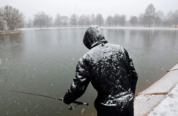
A powerful winter storm is set to slam Montana this weekend, bringing dangerously low temperatures, heavy snowfall, and whiteout conditions that could make travel nearly impossible. The National Weather Service (NWS) has issued Winter Storm Warnings and Wind Chill Advisories, cautioning that frostbite could occur within minutes in some areas. This polar vortex-driven Arctic blast will send temperatures plummeting well below zero, with wind chills dropping to -30°F to -50°F in some locations. The combination of blizzard-like conditions, subzero temperatures, and howling winds makes this one of the most dangerous weather events of the season.
Saturday: Snowstorm Arrives—Travel Conditions Deteriorate Quickly
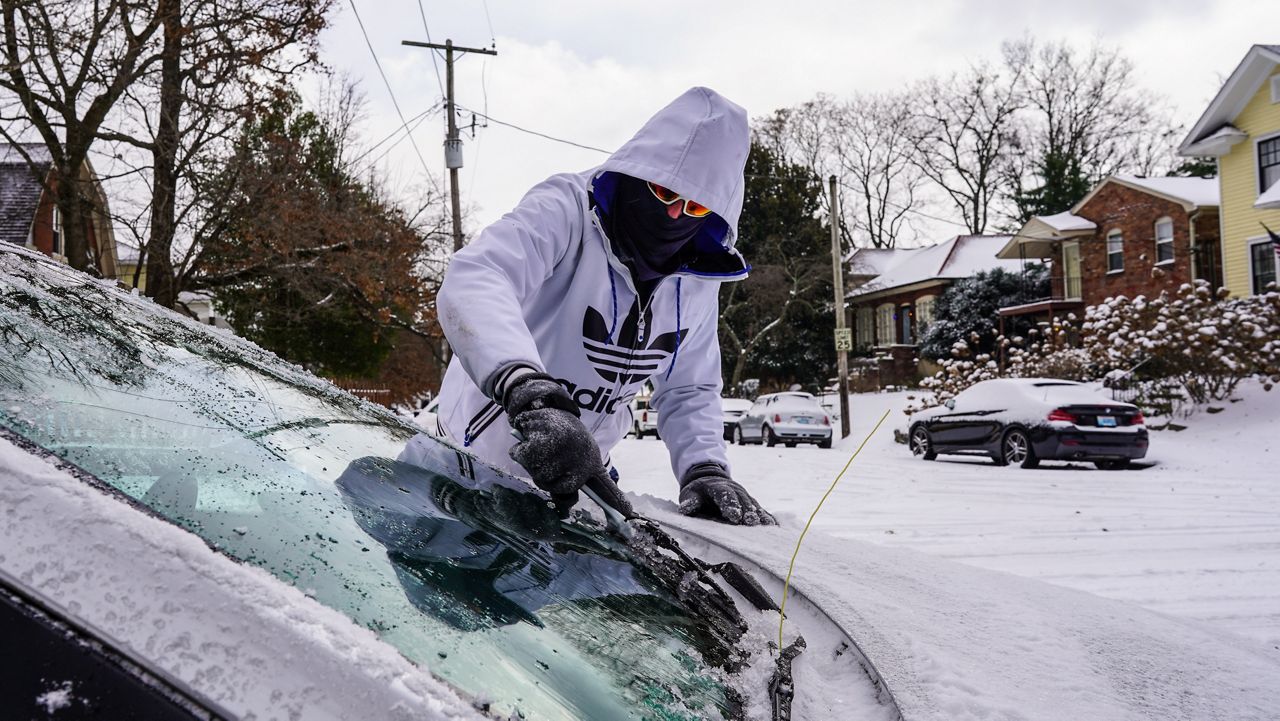
By Saturday morning, heavy snow will begin falling across the state, reducing visibility and creating treacherous road conditions.
- Billings: Snowfall accumulations of 5-8 inches expected, with gusty winds making travel difficult. High of 11°F (-11°C), low of 0°F (-18°C).
- Missoula: Snow mixed with freezing rain, making roads icy and hazardous. High of 32°F (0°C), low of 21°F (-6°C).
- Great Falls: Up to 10 inches of snow expected, along with powerful wind gusts up to 40 mph. High of 5°F (-15°C), low of -3°F (-20°C).
Authorities are warning that blowing and drifting snow could cause whiteout conditions, making travel extremely dangerous and even life-threatening in some areas.
Sunday: Arctic Air Plunges Temperatures to Dangerous Lows
As the snow begins to taper off, an Arctic front will sweep through Montana, dropping temperatures well below zero and creating life-threatening wind chills.
- Billings: Wind chills could make it feel like -30°F, making even brief outdoor exposure dangerous. High of 7°F (-14°C), low of -10°F (-23°C).
- Missoula: A frigid high of 10°F (-12°C), dropping to -7°F (-22°C) overnight, with dangerous wind chills.
- Great Falls: Temperatures will struggle to climb above 0°F, with overnight lows plummeting to -20°F (-29°C).
At these temperatures, frostbite can occur in under 10 minutes. Officials are urging residents to stay indoors whenever possible and to wear multiple layers of clothing if heading outside.
Monday: The Deep Freeze Intensifies
The Arctic air will continue to grip the region into Monday and beyond, with no immediate relief in sight.
- Billings: High of -2°F (-19°C), with wind chills making it feel like -35°F.
- Missoula: Highs near 5°F (-15°C), but with gusty winds creating even colder conditions.
- Great Falls: One of the coldest spots in the state, with a high of -3°F (-20°C), and lows bottoming out near -25°F (-32°C).
These extreme cold conditions will increase the risk of power outages, and pipes freezing in homes and businesses. Officials are warning residents to prepare for extended periods of subzero temperatures.
How to Stay Safe During This Dangerous Cold and Snowstorm
With blizzard conditions, subzero temperatures, and deadly wind chills, it is crucial to take safety precautions now:
- Avoid Traveling Unless Necessary – Snow-covered roads and near-zero visibility will make driving extremely dangerous.
- Prepare for Power Outages – High winds and ice buildup could knock out power, so stock up on flashlights, batteries, and blankets.
- Wear Multiple Layers to Prevent Frostbite – Wind chills below -30°F can cause frostbite in minutes. Cover all exposed skin before going outside.
- Check on Elderly Neighbors and Pets – Those without adequate heating are at serious risk in these conditions. Bring pets indoors.
- Keep an Emergency Kit in Your Vehicle – If you must travel, carry extra blankets, food, water, and a charged phone in case you become stranded.
Looking Ahead
This is not just another winter storm—this is a life-threatening event that could bring widespread travel disruptions, frostbite risks, and dangerously low temperatures. Officials urge residents to stay inside, stay warm, and take every precaution necessary. This storm has the potential to be deadly for those unprepared—don’t take any risks!