
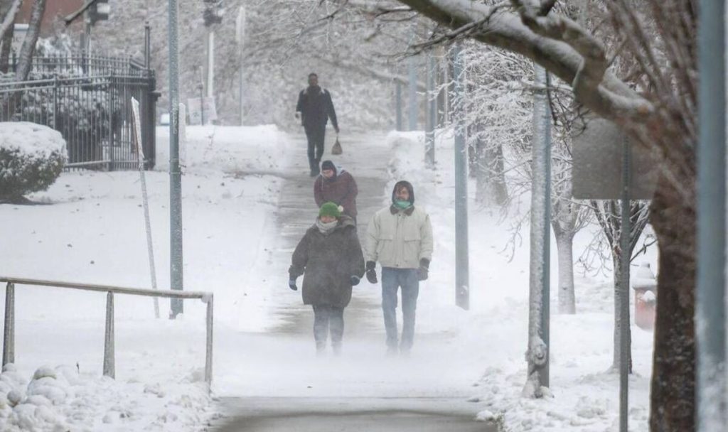
A massive Arctic blast is set to sweep across Nebraska this weekend, bringing blizzard conditions, bitterly cold temperatures, and dangerously icy roads. The National Weather Service (NWS) has issued Winter Storm Warnings and Wind Chill Alerts, warning that frostbite could occur in minutes and that travel could become nearly impossible in parts of the state. With up to 8 inches of snow expected in some areas, combined with gusty winds and subzero wind chills, Nebraska could experience one of its coldest and most hazardous weekends of the season.
Saturday: Snowstorm Arrives, Roads Become Treacherous
The storm will begin early Saturday morning, bringing steady snowfall and rapidly dropping temperatures.
- Omaha: Expect 2 to 5 inches of snow, with strong winds creating blowing and drifting conditions. High of 29°F (-2°C), low of 4°F (-16°C).
- Lincoln: Snowfall could reach up to 6 inches, making roads extremely slick. High of 25°F (-4°C), low of 2°F (-17°C).
- Grand Island: Gusty winds and heavy snow will reduce visibility. High of 18°F (-8°C), low of 0°F (-18°C).
Authorities urge residents to stay off the roads as travel conditions could become dangerous due to snow accumulation and ice formation.

Sunday: Arctic Air Takes Over, Wind Chills Plummet
By Sunday morning, the snow will taper off, but the true danger begins as an Arctic air mass moves in, sending temperatures crashing well below zero.
- Omaha: Wind chills will make it feel as cold as -25°F (-32°C). High of 15°F (-10°C), low of 7°F (-14°C).
- Lincoln: Bitter cold with dangerous wind chills reaching -30°F (-34°C). High of 16°F (-9°C), low of 8°F (-13°C).
- Grand Island: Highs near 17°F (-8°C), but with howling winds making it feel like -35°F (-37°C).
At these temperatures, frostbite can occur in as little as 5 minutes on exposed skin, making outdoor activity extremely dangerous.
Monday: Deep Freeze Intensifies, Power Outage Risks Increase
By Monday, the cold will tighten its grip on Nebraska, with some of the lowest temperatures of the winter.
- Omaha: High of 9°F (-13°C), with wind chills as low as -30°F (-34°C).
- Lincoln: Windy and bitterly cold, high of 11°F (-12°C), low of -9°F (-23°C).
- Grand Island: Arctic cold remains, with highs near 9°F (-13°C), lows plunging to -10°F (-23°C).
With strong winds and extreme cold, there is also a risk of power outages due to ice buildup on power lines and increased strain on heating systems. Officials are urging residents to prepare for potential blackouts by stocking up on blankets, flashlights, and non-perishable food.
How to Stay Safe During This Dangerous Winter Event
- Avoid Unnecessary Travel – Snow-covered roads and near-zero visibility will make driving extremely dangerous. Stay off the roads unless necessary.
- Prepare for Power Outages – High winds and extreme cold could knock out power, so make sure to have extra blankets, flashlights, and batteries ready.
- Dress in Layers to Prevent Frostbite – Wind chills below -30°F can cause frostbite in minutes. Wear multiple layers, gloves, and a face covering when outside.
- Check on Elderly Neighbors and Pets – Those without proper heating are at serious risk in these conditions. Make sure they have warm shelter and enough supplies.
- Keep an Emergency Kit in Your Car – If you must travel, pack extra blankets, food, water, and a phone charger in case you get stranded.
Bottom Line
This isn’t just another winter storm—it’s a potentially life-threatening event with extreme cold, heavy snow, and dangerous travel conditions. Stay indoors, stay warm, and stay informed. This storm has the potential to be deadly for those unprepared—take action now!