
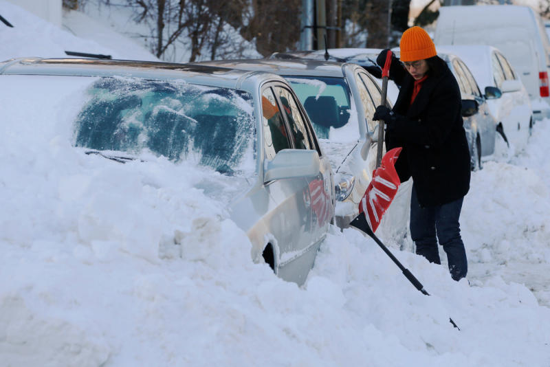
A powerful winter storm is set to slam Massachusetts this weekend, bringing heavy snow, freezing rain, and treacherous travel conditions. The National Weather Service (NWS) has issued Winter Storm Warnings and Advisories for much of the state, with conditions expected to worsen rapidly starting Saturday evening and continuing into Sunday. Forecasters warn that the combination of heavy snow and ice accumulation could lead to power outages, hazardous roads, and dangerously cold temperatures. Residents are urged to prepare now for what could be one of the season’s most disruptive storms.
Saturday: Snow Begins—Travel Conditions Deteriorate
The storm is expected to arrive Saturday afternoon, with snowfall intensifying by the evening hours.
- Boston: Snow developing by the afternoon, with accumulations of 3 to 6 inches expected overnight. High of 31°F (-1°C), low of 29°F (-2°C).
- Worcester: Heavier snow expected, with 5 to 8 inches possible before transitioning to ice. High of 29°F (-2°C), low of 25°F (-4°C).
- Springfield: Snow accumulating 4 to 7 inches, roads becoming slick and hazardous. High of 31°F (-1°C), low of 27°F (-3°C).
Drivers are strongly advised to avoid unnecessary travel as visibility could drop to near zero in some areas due to heavy snow and wind gusts.
Sunday: Icy Conditions and Freezing Rain Create a Nightmare for Travel
By Sunday morning, temperatures will hover around freezing, causing widespread ice accumulation in central and eastern Massachusetts.
- Boston: Freezing rain mixing with sleet and rain, making roads extremely slippery. High of 39°F (4°C), low of 21°F (-6°C).
- Worcester: Ice expected to coat power lines and roads, leading to possible outages. High of 36°F (2°C), low of 17°F (-8°C).
- Springfield: Periods of sleet, ice, and rain making driving dangerous. High near 38°F (3°C), low around 20°F (-6°C).
The greatest concern is ice accumulation, which could lead to power outages and tree damage. Officials warn that driving could be nearly impossible, with black ice forming on bridges, overpasses, and untreated roads.
Monday: Frigid Air and Strong Winds Bring More Hazards
As the storm exits, Arctic air will rush in, sending temperatures plummeting and creating dangerously cold wind chills.
- Boston: Winds gusting up to 40 mph, temperatures dropping. High of 28°F (-2°C), low of 12°F (-11°C).
- Worcester: Brutally cold and windy. High of 25°F (-4°C), low of 9°F (-13°C).
- Springfield: Wind chills could make it feel below zero. High near 28°F (-2°C), low around 13°F (-11°C).
Any standing water from melting snow will quickly freeze, leading to black ice and dangerous walking/driving conditions.
How to Stay Safe During This Dangerous Winter Storm
- Avoid Travel – Roads will be extremely hazardous, with snow, ice, and low visibility. Stay home unless necessary.
- Prepare for Power Outages – Ice buildup on power lines could cause outages. Keep flashlights, batteries, and extra blankets handy.
- Check on Elderly Neighbors and Pets – Ensure they have heat, food, and necessary supplies to get through the storm.
- Keep Emergency Supplies Ready – Stock up on food, water, medications, and fuel for generators.
- Dress in Layers – If you must go outside, wear warm, insulated clothing to prevent frostbite and hypothermia.
This Storm Could Be One of the Worst of the Season
This isn’t just a typical winter storm—it’s a dangerous mix of heavy snow, ice, and bitter cold that could make roads impassable and knock out power for thousands. Stay indoors, stay warm, and stay informed. This storm could be a major disruptor—don’t take any risks!