
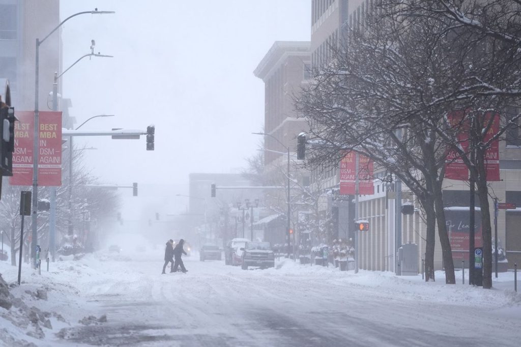
DALLAS, TX – Texans, get ready for a prolonged blast of Arctic air as an Extreme Cold Watch has been issued for North and Central Texas. The National Weather Service (NWS) warns that temperatures will drop well below freezing starting late Monday night and lasting through Thursday morning, creating dangerous conditions for residents, travel, and infrastructure.
What to Expect
🌡 Frigid Temperatures: Daytime highs will struggle to reach above freezing (30-35°F), while overnight lows dip into the teens and low 20s.
💨 Bitter Wind Chills: Gusty winds could make it feel like 10°F to 15°F, with some areas experiencing single-digit wind chills.
❄ Icy Conditions Possible: Patchy freezing drizzle or light sleet could form slick spots on roads and bridges.
💡 Power Grid Concerns: Increased energy demand could stress the power grid, similar to past winter freezes.
Areas Most Affected
📍 Dallas-Fort Worth Metroplex: Overnight lows in the teens, with daytime highs barely reaching freezing.
📍 Austin & Central Texas: Subfreezing temperatures for multiple nights, with potential for ice formation.
📍 Waco & Killeen: Expect extended freezing conditions and gusty winds making it feel even colder.
📍 West Texas (Abilene, Wichita Falls): Some of the coldest temps in the state, dipping into the low teens.
Potential Hazards & Impact
🚧 Road & Bridge Freezing: Elevated roadways and overpasses could become icy, especially overnight.
⚠ Power Grid Strain: Increased demand may lead to rolling blackouts if the grid is overloaded.
💡 Frozen Pipes Risk: Homes without proper insulation could see burst pipes, causing costly damage.
🔥 Carbon Monoxide Poisoning Risk: Improper heating methods (like using stoves or grills indoors) could cause serious health risks.
How to Prepare & Stay Safe
✔ Protect Your Pipes: Let faucets drip overnight and insulate exposed pipes.
✔ Layer Up: Wear warm clothing indoors and outdoors—avoid prolonged exposure to the cold.
✔ Check on Elderly & Pets: Make sure elderly relatives and pets are kept warm and safe.
✔ Drive With Caution: If freezing drizzle develops, avoid unnecessary travel and watch for black ice.
✔ Stay Informed: Follow updates from local weather stations and emergency officials for the latest advisories.
What’s Next?
The coldest period will be Tuesday and Wednesday mornings, with some areas seeing record-low temperatures for February. Warmer conditions should return by late Thursday, but another cold front could follow next week.
For live updates, visit the National Weather Service website or tune in to local emergency alerts. Stay warm, stay safe, and prepare now for this dangerous cold snap!