

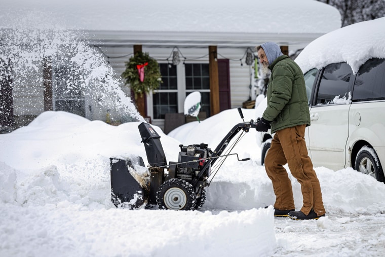
Charlotte is bracing for a sharp drop in temperatures and the arrival of a winter storm that will bring a mix of snow, freezing rain, and bitter cold over the next few days. The National Weather Service has issued winter weather advisories as a strong cold front pushes through the region, bringing hazardous road conditions and dangerous wind chills.
How Cold Will It Get?
A cold front has already started moving in, causing temperatures to plunge into the 30s. While today remains mild, with a high near 53°F (12°C), the situation changes dramatically on Wednesday as colder air takes over.
By Wednesday, February 19, expect highs only reaching 35°F (2°C), with snow and a wintry mix expected to develop. Overnight, temperatures will drop below freezing to 30°F (-1°C), increasing the risk of icy roads and slick conditions.
Thursday will be even colder, with morning flurries and strong winds making it feel much colder than the actual temperature of 40°F (4°C). Overnight lows will plummet to 18°F (-8°C), the coldest night of the week.
Snow and Ice: How Much Will Fall?
Light snow accumulations between 1-3 cm (0.5-1 inch) are expected Wednesday morning, but the real concern is freezing rain and sleet that could make roads extremely slick. Even a small amount of ice can make bridges and overpasses dangerous, so drivers should use extreme caution. Unlike states further north, Charlotte is not equipped to handle heavy snow and ice quickly, meaning even minor accumulations can cause significant disruptions to travel and daily activities.
Day-by-day Breakdown of Charlotte’s Weather
- Tuesday, February 18: Partly sunny, high of 53°F (12°C), low of 35°F (2°C). A calm day before the storm arrives.
- Wednesday, February 19: Cold and cloudy with snow turning into freezing rain. High of 35°F (2°C), low of 30°F (-1°C). Roads could become slick and dangerous.
- Thursday, February 20: Morning flurries possible, then mostly sunny and breezy. High of 40°F (4°C), low of 18°F (-8°C). The wind will make it feel even colder.
- Friday, February 21: Cold but sunny, high of 47°F (8°C), low of 22°F (-5°C). Any melting during the day could refreeze at night, creating black ice.
- Saturday, February 22: A warming trend begins, with sunshine and a high of 53°F (12°C), low of 30°F (-1°C).
- Sunday, February 23: Mostly sunny, high of 53°F (12°C), low of 33°F (1°C). A welcome break from the cold.
- Monday, February 24: Warmer, with a high of 58°F (14°C), but clouds could indicate another approaching system.
How to Stay Safe During This Winter Storm
- Limit Travel – Roads could become slick and dangerous, especially during freezing rain periods. Avoid driving if possible.
- Bundle Up – Wind chills will make it feel much colder than the actual temperature. Wear multiple layers, gloves, and a hat to protect against the cold.
- Prepare for Power Outages – Ice on power lines could cause outages. Have extra blankets, batteries, and non-perishable food on hand.
- Check on the Elderly and Pets – Those most vulnerable shouldn’t be exposed to extreme cold for long periods. Make sure they have a warm place to stay.
- Watch for Black Ice – Any melting snow will refreeze at night, creating invisible, slippery conditions on roads and sidewalks.
Final Thoughts
Charlotte is in for a messy, dangerous stretch of winter weather with snow, ice, and subfreezing temperatures creating challenges for residents. Travel will be dangerous midweek, and freezing temperatures will persist through Friday. A slow warm-up over the weekend will bring relief, but icy conditions could last into Saturday morning. Stay informed, take precautions, and stay safe as Charlotte battles one of the coldest weeks of the season!