
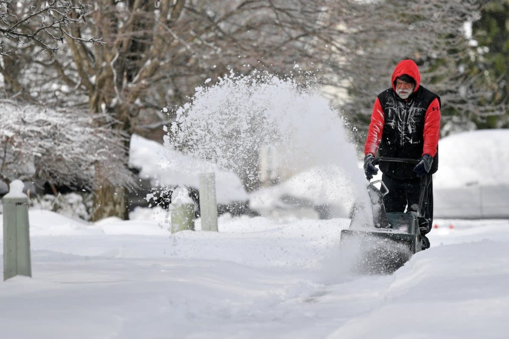
A fast-moving winter storm is set to bring snowfall and hazardous travel conditions to the Ohio Valley beginning Tuesday evening, with snow continuing through Wednesday morning. The National Weather Service (NWS) has issued a Winter Weather Advisory for several counties, warning that snow-covered roads, freezing temperatures, and reduced visibility could create dangerous conditions for drivers.
How Much Snow Will Fall?
Forecasters expect 2 to 4 inches of snowfall, with some localized areas possibly receiving even more. Snowfall will begin in the late evening hours and continue overnight before tapering off by noon on Wednesday.
Along with the snow, frigid temperatures will make conditions even worse. Cities like Cincinnati, Ohio, will see lows drop to 13°F (-10°C), while Louisville, Kentucky, could experience temperatures as low as 10°F (-12°C). These cold conditions could lead to ice accumulation, making roads even more hazardous.
Which Areas Will Be Most Affected?
The storm will primarily impact parts of Ohio, Kentucky, Indiana, and West Virginia, with major metro areas such as Cincinnati, Louisville, and Charleston expected to see difficult travel conditions. Commuters and travellers should plan and allow extra time for travel, as roads will likely be slick and snow-covered.
Travel Impacts and Road Conditions
Officials are urging drivers to stay off the roads if possible, as icy patches and accumulating snow will make highways and secondary roads dangerous. Ploughs and salt trucks will be out in full force, but road conditions could deteriorate quickly, especially during peak snowfall hours overnight.
Airports across the Ohio Valley may also experience flight delays and cancellations, so travellers are advised to check with their airlines for real-time updates.
How to Stay Safe During the Storm
- Avoid Unnecessary Travel – If you must drive, use extreme caution and give yourself extra time.
- Prepare for Cold Weather – Wear layers and cover exposed skin to prevent frostbite.
- Check Road Conditions – Monitor local DOT websites and weather alerts for updates.
- Charge Your Devices – Have backup power sources in case of power outages.
- Keep Emergency Supplies – Carry blankets, food, water, and a flashlight in your vehicle in case you get stranded.
Looking Ahead
After the snow moves out Wednesday afternoon, temperatures will remain cold, and icy conditions could persist through Thursday morning. Officials warn that refreezing on roadways could create additional travel hazards, especially in shaded areas and overpasses.
For the latest updates, follow the National Weather Service, local news stations, and emergency management officials. Stay safe, stay warm, and be prepared as this winter storm moves through the Ohio Valley.