
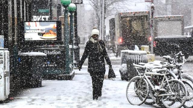
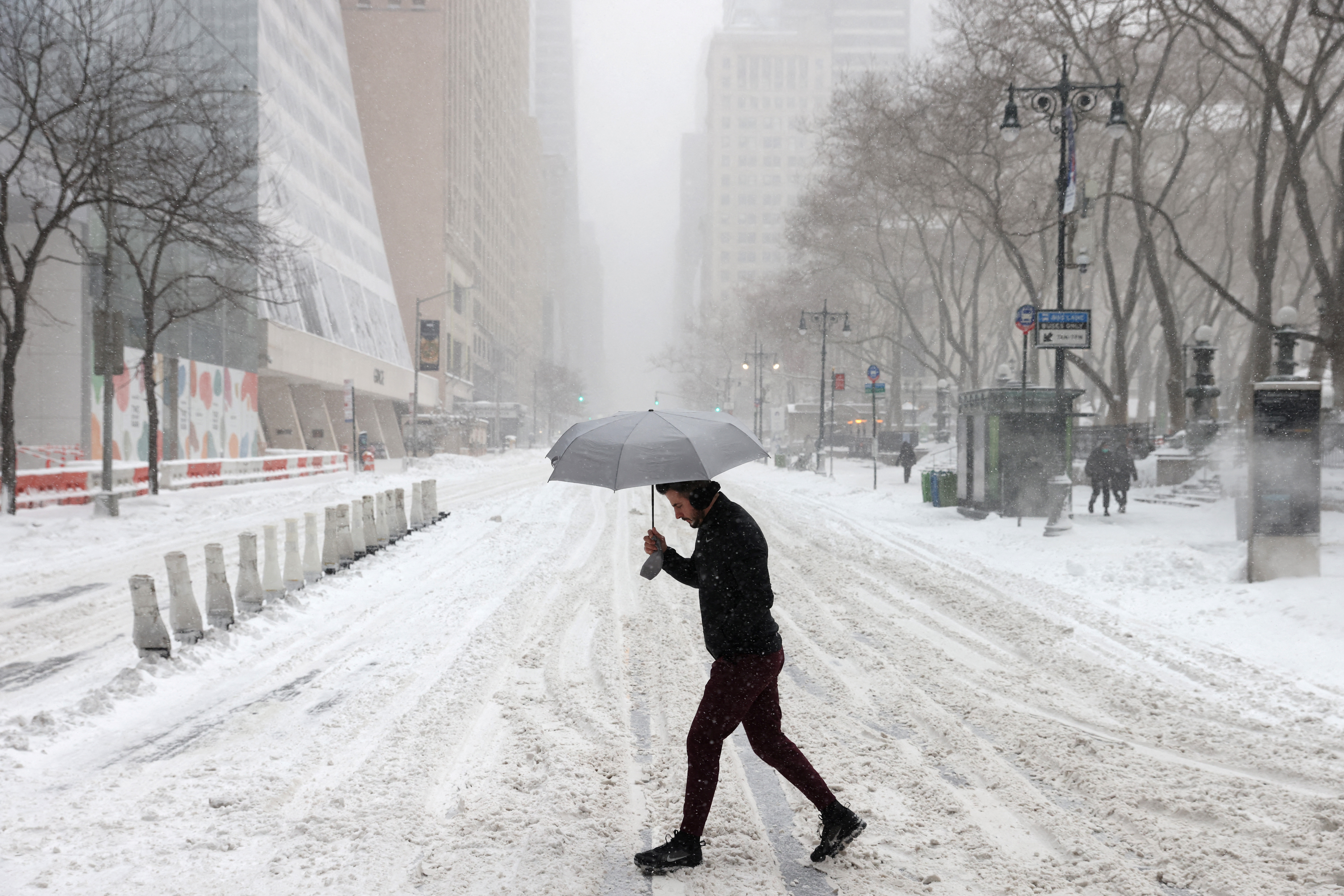
Queens is preparing for a major winter weather event, with snow, strong winds, and freezing temperatures expected to sweep through the borough. The National Weather Service has issued weather advisories, warning residents to take precautions as they may face hazardous conditions, particularly during the evening commute.
Snowfall and Slippery Roads Expected Across Queens
The storm will begin this afternoon, with snow expected to start falling in Queens by late afternoon. While the snow will accumulate to varying degrees across different neighborhoods, it’s expected to range from light dustings to several inches. The heaviest snow could cause slippery roads, which could significantly impact driving conditions.
With the snow arriving just in time for the evening rush hour, commuters should prepare for delays. Streets, highways, and public transit systems may experience slowdowns due to icy and snow-covered roads. Motorists are strongly advised to limit travel unless necessary and to check real-time road conditions before heading out.
For those who have to walk or use public transportation, it’s important to exercise caution. Sidewalks may be slippery, and delays in train and bus services are likely due to the weather. It’s a good idea to give yourself extra time to get to your destination.
Wind and Cold Temperatures Adding to the Chill
Along with the snow, Queens will also experience strong winds. Gusts of up to 25 mph are expected, which will make it feel even colder than it is. Wind chills will drop the “feels-like” temperature well below freezing, making it crucial for residents to bundle up in layers, especially if they need to be outdoors. Temperatures will hover around 31°F (-1°C) during the day, but with the wind chill, it will feel like the mid-20s. Overnight lows will dip to 22°F (-5°C), adding an extra bite to the cold. Wind chills could make it feel even colder, so residents are urged to wear hats, scarves, gloves, and warm coats to protect themselves from frostbite or hypothermia.
Weekend Forecast: Clearer Weather Ahead
After the storm passes, Queens can expect clearer skies and more manageable temperatures. On Friday, temperatures will rise to 37°F (3°C) but will remain chilly, with gusty winds continuing. Saturday will see temperatures climb slightly to 40°F (4°C), with sunny skies making it the perfect day to get outdoors, but still cool enough to require a warm jacket. By Sunday, the weather will begin to warm up, with a high of 45°F (7°C). Sunday will be the best day of the weekend, with less wind and plenty of sunshine, making it ideal for outdoor activities. Monday and Tuesday will also see mild temperatures in the low 40s, with mostly cloudy skies and little chance of precipitation.
Stay Safe and Prepared
As Queens faces this challenging winter storm, it’s essential to stay informed and take the necessary precautions. Here are a few safety tips to ensure you stay safe:
- Limit outdoor exposure: If you don’t need to be outside, stay indoors where it’s warm. If you must go out, dress in layers and protect all exposed skin.
- Travel with caution: If you must drive, ensure your car has winter supplies, including blankets, water, and non-perishable snacks. Also, check road conditions before you head out.
- Check on neighbors: If you have elderly neighbors or people with mobility issues, make sure they’re okay and have everything they need to stay safe during the storm.
The upcoming winter storm in Queens will bring snow, cold temperatures, and strong winds, making for a difficult few days. Whether you’re heading to work, school, or out for a quick errand, it’s important to prepare and stay informed. Follow local news outlets and the National Weather Service for up-to-date weather alerts and safety information.