
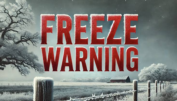
The National Weather Service (NWS) in Little Rock has confirmed that a low-pressure system traversing the region has resulted in significant wind chill effects across eastern and southern Arkansas. While actual air temperatures are recorded near 32°F, sustained winds of 10 to 15 mph have produced wind chill values that drop the “feels-like” temperature well into the low 20s, with some localized readings approaching the mid-teens.
Technical Analysis and Data Interpretation
Meteorologists describe that the wind chill index, which measures the cooling influence of wind on bare skin, is being heavily impacted by the present synoptic configuration. The combination of a comparatively modest ambient temperature and fresh winds enhances the rate of convective heat loss from the body. With the standard wind chill formula, calculations indicate that a minor increase in wind speed can lead to a rapid fall in perceived temperature. It is essential to note that this happens more frequently under open and unguarded conditions, for there are no natural windbreaks around to soften the cooling effects.
Recent satellite data and radar imagery indicate an eastward-moving well-defined low-pressure system originating from the central plains. Dynamic lift from this system is increasing wind flow and consequently amplifying the wind chill effect. Forecasters have also indicated that there is a dry boundary layer present, which is adding to decreasing humidity and further increasing the evaporation cooling rate.
Forecast Discussion and Model Guidance
Forecast models such as the HRRR and NAM indicate that the cold will linger into the morning hours, with the lowest wind chill readings found between 3 a.m. and 8 a.m. The most recent model runs estimate that by 10 a.m., the low-pressure system should start to break down, allowing for a general moderation of the wind speeds and a corresponding bettering of the wind chill readings. Nevertheless, minor variations in wind speed might still lead to scattered areas having near-critical chill levels.
Impacts and Operational Considerations
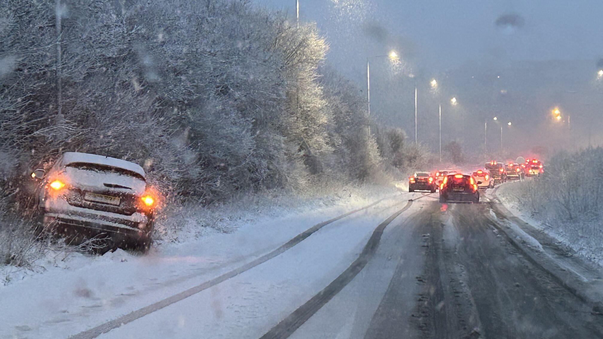
Local governments are issuing a warning for outdoor workers and early morning commuters due to the increase in hypothermia and frostbite risks associated with the combination of low temperature and high wind chill factors. Road maintenance departments are watchful for potential black ice formation caused by quick cooling of road surfaces without the cloud cover to reflect heat. Also, utility services are on lookout for potential problems with above-ground infrastructure, especially in rural sections where there is highest wind exposure.
Future Prospects and Climatological Consequences
Although the present cold snap is not likely to be long-lasting, the measured meteorological parameters highlight the possibility of rapidly changing winter weather patterns in the area. Climatologists are studying such events to establish if such infrequent, extreme episodes are becoming more frequent as part of greater seasonal variability. In the meantime, forecasters emphasize the need to stay informed about local alerts, since even fleeting instances of extreme wind chill can have meaningful operational and safety consequences.