
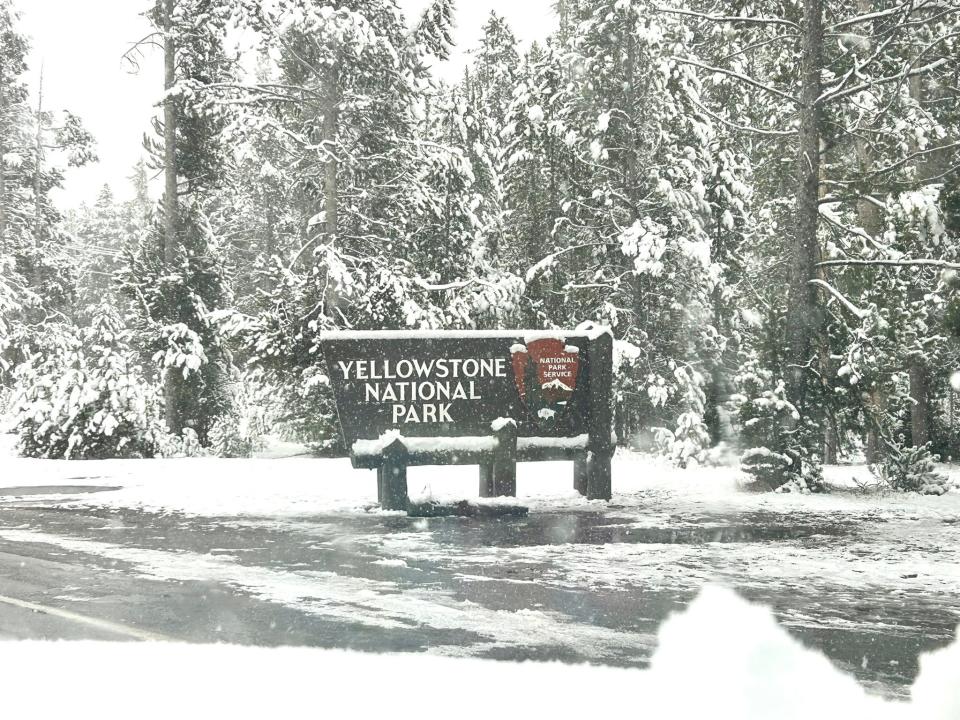
A powerful winter storm is moving into Wyoming, and if you’re in the Teton or Yellowstone areas, you’ll want to be prepared. Heavy snowfall and strong winds are expected through Monday morning, creating dangerous travel conditions and low visibility.
What’s Coming?
- A Lot of Snow – 7 to 14 inches of snow is expected in most areas, but higher elevations, like the Teton Mountains, could see 18 to 28 inches by Monday.
- Strong Winds – Gusts up to 40 mph will create blowing and drifting snow, making it even harder to see and drive safely.
- Treacherous Roads – Mountain passes, including Teton and Togwotee, will be especially dangerous, with slick conditions and whiteout visibility at times.
How to Stay Safe
- Avoid Travel If You Can – Roads will be hazardous, and driving through the mountains could be extremely difficult. If you must go out, make sure your car is stocked with warm clothes, food, water, and a flashlight in case you get stuck.
- Prepare for Possible Power Outages – With strong winds and heavy snow, power lines could go down. Have flashlights, batteries, and blankets ready just in case.
- Check for Updates – This storm could shift quickly. Stay tuned to the latest forecasts from the National Weather Service and local news.
- Be Extra Cautious in the Backcountry – If you’re skiing, snowmobiling, or hiking, keep in mind that deep snow and poor visibility can create serious avalanche risks.
What’s Causing This Storm?
This storm is fueled by moisture from the Pacific, creating heavy snow and strong winds across the mountains. These types of systems can dump huge amounts of snow in a short time, leading to dangerous conditions.
Winter in Wyoming is no joke, and this storm could make life tough for the next couple of days. Stay safe, stay warm, and check in on friends and family who might need help.