
Binghamton is in for a wild weather ride over the next few days. A storm system moving through the region will bring rain today, followed by snow and a blast of bitter cold heading into the weekend. Here’s what you need to know:
Today: Wet & Mild, But Watch for Flooding
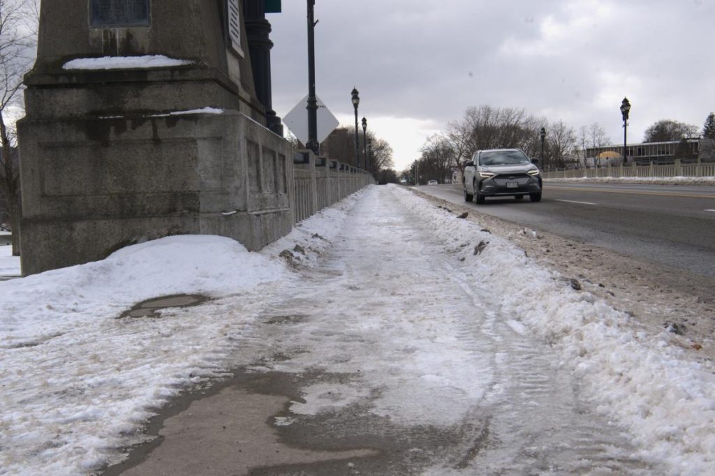
Expect periods of rain throughout the day with highs reaching the mid-40s. With snow already melting, there’s a chance for localized flooding in low-lying areas. If you see standing water on the roads, turn around—don’t risk it!
Friday-Saturday: Temperature Drop & Slippery Roads
By Friday, temperatures will tumble into the 30s, and any lingering wet surfaces could turn icy. A mix of rain and snow is expected Saturday, along with gusty winds. While snowfall amounts won’t be huge, road conditions could still get slick—so take it slow if you’re out driving.

Sunday: The Deep Freeze Sets In
Brace yourself for a serious cold snap. Sunday’s highs may not climb past the teens, and with the wind, it’ll feel even colder. If you have to be outside, bundle up in layers and limit your exposure to avoid frostbite.
What to Watch For:
Flood Risk Today – Be cautious in low-lying areas and avoid flooded roads.
Icy Spots Friday – Wet surfaces may freeze as temps drop.
Bitter Cold Sunday – Wind chills could make it feel dangerously cold.
Binghamton’s weather is throwing everything at us—rain, snow, ice, and Arctic air. Stay alert, drive safely, and keep those winter coats handy!