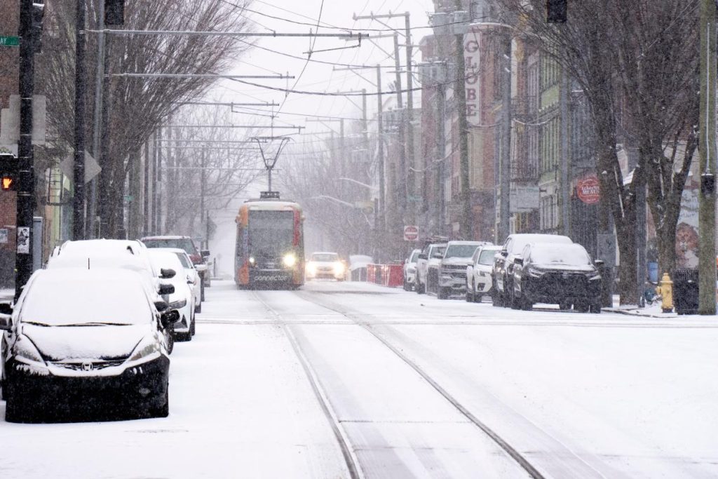
Ohio has been enjoying an early taste of spring this week, with sunshine and above-average temperatures making it easy to forget that winter isn’t over yet. But before you get too comfortable, a major weather shift is coming, and it’s bringing a sharp drop in temperatures, strong winds, and even a chance of snow. The unseasonably warm air will stick around for another day or two, but a cold front is on the way, and by the weekend, it will feel much more like winter again.
Warm Temperatures Bring a False Sense of Spring
Over the past few days, Ohio has seen some of the warmest temperatures of the season so far.
- Cincinnati hit a stunning 70°F (21°C) on Wednesday, February 26, making it feel more like April than late February.
- Columbus reached a mild 56°F (14°C), while Cleveland saw a high of 40°F (4°C).
- These numbers are well above the typical February averages, which usually range between 21°F (-6°C) and 32°F (0°C).
This warm-up has been driven by southerly winds bringing in mild air, but the pattern is about to flip as a strong cold front pushes through.

Cold Air Arriving—Here’s When the Temperature Drop Hits
The shift in weather will start gradually, but by Friday night into Saturday, the difference will be undeniable.
- Thursday, February 27 – Temperatures will cool slightly, with highs in the upper 40s across much of the state, but it will still feel mild compared to what’s coming.
- Friday, February 28 – A dramatic drop begins, with Cleveland seeing morning snow showers, and Columbus and Cincinnati dealing with increasing wind and clouds.
- Saturday, March 1 – The real cold settles in, with highs struggling to get out of the 30s and wind chills making it feel even colder. Cleveland could even see rain changing to snow.
- Sunday, March 2 – Temperatures will be at their lowest, with highs barely reaching the mid-30s and morning temperatures in the teens for some areas.
What This Means for Ohio Residents
With such a drastic temperature drop, residents should prepare for challenging conditions:
- Strong Winds – Wind gusts could make it feel even colder and create hazardous driving conditions.
- Snow Potential – While heavy snowfall isn’t expected, some areas, especially in northern Ohio, could see light snow or flurries.
- Icy Roads – The warm temperatures will have melted some of the previous snow and ice, but refreezing overnight could create slick spots.
How to Prepare for the Weather Shift
- Dress in Layers – You’ll need light clothing for the next day or two, but by the weekend, heavy coats, scarves, and gloves will be necessary again.
- Watch for Icy Conditions – Even with only light snowfall expected, overnight freezing could lead to black ice.
- Check Your Weekend Plans – If you were hoping for a warm outdoor weekend, be prepared for much colder and windier conditions.
Ohio’s recent warmth has been a welcome break from winter, but it’s not here to stay. A strong cold front will bring back winter’s chill by the weekend, reminding everyone that March can still pack a punch. So if you’ve been enjoying the sunshine, make the most of it now—because colder days are just around the corner!

