
A powerful storm system is shifting north along the East Coast, threatening roughly 65 million people from Florida all the way to New York. As severe storms move into major urban centers on Wednesday, meteorologists warn of heavy rain, strong winds, and potential flash flooding that could disrupt daily life for millions. This in-depth report takes a closer look at what’s driving the extreme weather, how communities are preparing, and what residents can do to stay safe.
A Storm on the Move
Meteorologists have identified a robust storm system that is advancing from the warm, moisture-rich environment of Florida and the Gulf of Mexico toward the cooler air masses over the Northeast. As the system moves north, it is expected to intensify. Residents in cities along the coast, from Miami to New York, should be prepared for rapidly shifting weather conditions. “The mix of high humidity and an approaching cold front is setting the stage for some very intense storms,” explained a leading meteorologist.
Meteorological Forces at Work
At the heart of this extreme weather event is the interaction of warm, damp air out of the south and cold air moving in from the north. Where these two bodies of air collide, they introduce instability in the atmosphere. This instability stimulates the formation of intense thunderstorms that can produce heavy rain and gusts of over 50 mph.
The storm complex is being replenished by an ongoing low-pressure system, which will keep the heavy rainfall going over an extended area. In urban areas near the coastline, Atlantic moisture will make the rain much stronger, while the presence of vigorous upper-level winds will probably contribute to the creation of damaging gusts of wind. Flash flood potential becomes especially problematic when these factors come together since even a brief period of intense rain can inundate drainage systems within urban areas.
Effect on Communities Along the East Coast
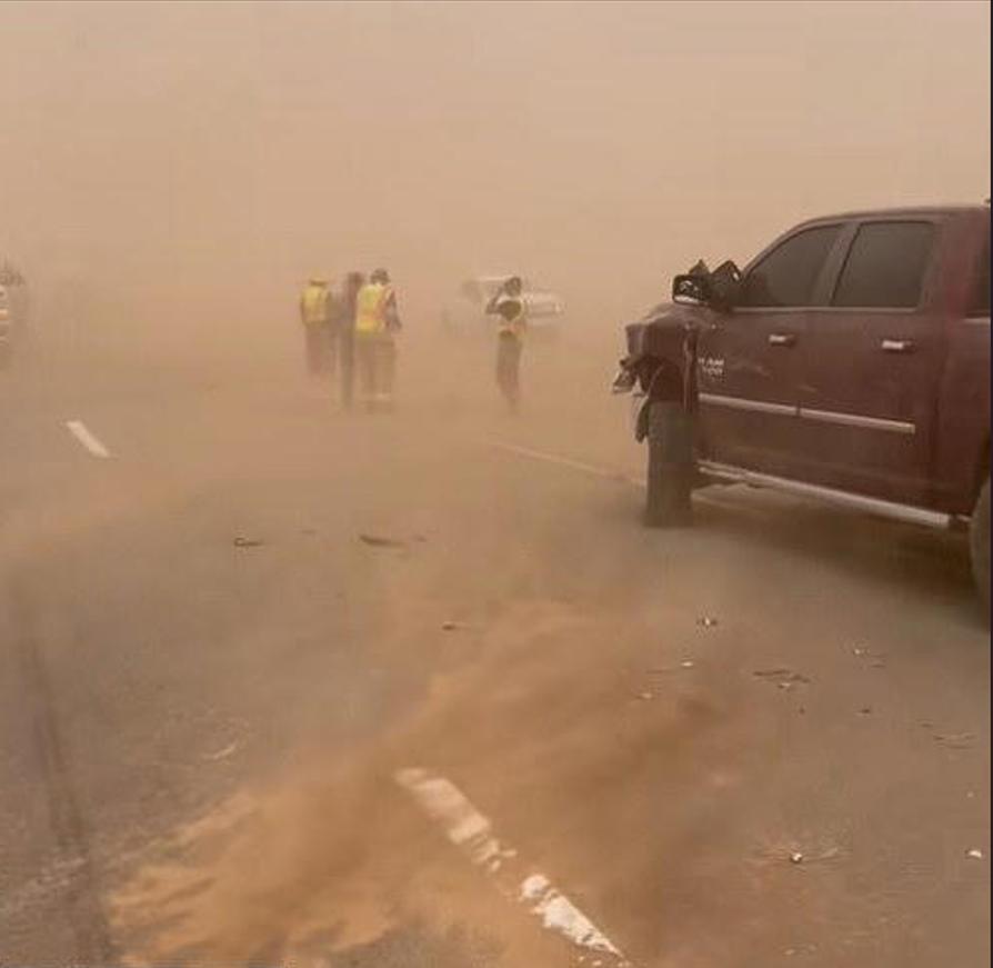
For the approximately 65 million residents along the East Coast, this storm system is a major challenge. In Florida, low-lying residents are preparing for potential flash flooding as heavy rains hammer coastal towns. In larger urban areas such as New York and Philadelphia, the mix of heavy rain and high winds has the potential to shut down transportation systems, overtax power lines, and compel businesses and schools to postpone opening.
Locals in these areas are calling on residents to be serious about the storm. “We’re seeing early signs of the kind of severe weather that can cause serious disruptions,” said a spokesperson from a New York emergency management agency. “It’s important for everyone to heed the warnings, secure loose items around their homes, and avoid unnecessary travel until conditions improve.”
Travel and Infrastructure Challenges
With severe storms expected to hit major cities along the East Coast, travel is likely to be heavily impacted. Roads, especially those through cities, can become perilously slippery within a few minutes of reduced visibility and wet roads. Commuters will be faced with extensive tie-ups as traffic inches along the roads, and drivers are being advised to use utmost care, especially at the height of the storm.
Apart from the disruptions on the roads, the heavy rainfall and strong winds from the storm will lead to localized flooding, adding to the difficulty of movement. Public transportation networks are also under alert, with service disruptions likely as operators struggle to deal with the adverse weather. For people who are likely to travel, officials recommend monitoring local weather conditions and postponing unnecessary trips until the storm passes.
Emergency Preparedness and Community Resilience

Local emergency responders and local organizations are presently augmenting their preparedness following this severe weather threat. Along the East Coast, emergency response groups have initiated their response procedures to assist vulnerable populations and render available assistance in the event that the situation escalates. Residents are being asked to stock up emergency supplies with water, non-perishable items, flashlights, batteries, and medications as needed.
Neighborhoods are uniting too. Local shelters and community centers are preparing to help those who could be displaced by flooding or other disruptions that happen during storms. Public safety officials are also asking people to bring in outdoor items—like patio furniture and loose decorations—that might be hazards tossed around by high winds.
Local media and social media are playing a significant role in disseminating live updates. With ongoing updates and adherence to official advice, citizens can make educated decisions about traveling and accommodation, which help to reduce the overall impact of the storm on society.
Looking Ahead: Hope Amid Uncertainty
Although the storm system is anticipated to deliver harsh conditions on Wednesday, meteorologists are optimistically cautious that the worst would have passed by the time the system travels even north and east. Projections indicate that after the storm clears, the weather would start stabilizing such that it would enable communities to initiate the recovery process. But safety and preparedness are at the forefront with the amalgamation of wind and rain and flood potential being more than too real of a threat to human life and property.
This fierce tempest is a chastening reminder of nature’s great forces—and the strength of community in the face of such ordeal. With fierce commitment, keen vigilance, and a sense of shared solidarity, the East Coast will weather this storm and be the stronger for its back.