
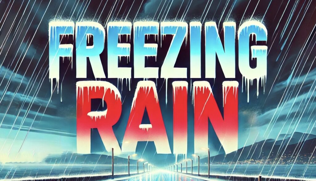
A powerful winter storm is poised to sweep across parts of California and Nevada, with forecasters predicting up to 3 feet of snow and wind gusts reaching 70 MPH by Tuesday night.
This dramatic change in weather, centered on the Sierra Nevada and northern Nevada regions, is expected to create hazardous travel conditions, prompt road closures, and challenge even the most experienced winter drivers. As communities brace for the storm, local authorities and residents are mobilizing to safeguard their homes, vehicles, and daily routines.
The Storm’s Impact: Heavy Snow and High Winds
According to the latest updates from the National Weather Service, a low-pressure system moving in from the Pacific is set to unleash its full fury on the Sierra Nevada region. With snowfall totals projected to reach up to 3 feet in certain areas—particularly along the Sierra crest—this storm is among the most significant to hit the region this season.
At the same time, strong winds, with gusts up to 70 MPH, are expected to exacerbate the situation by reducing visibility, blowing snow into drifts, and increasing the risk of structural damage and power outages.
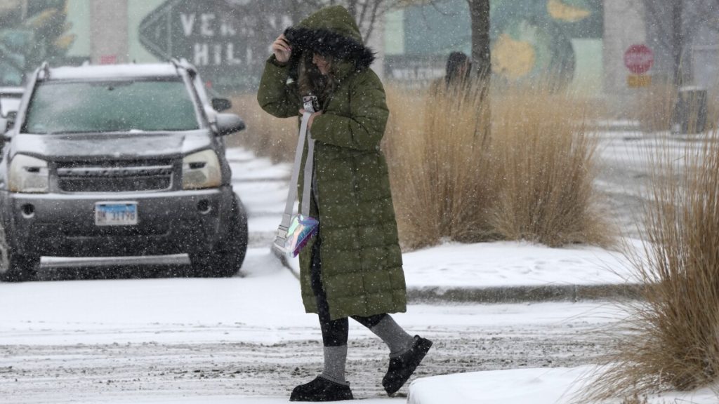
Residents living at higher elevations are already preparing for near-whiteout conditions. “Even a small snowstorm can turn mountain passes into dangerous obstacles, but this one could be truly treacherous,” said one local meteorologist. The combination of heavy, powdery snow and fierce winds means that road conditions will deteriorate rapidly, making travel nearly impossible for those caught off guard.
Hazardous Travel and Safety Precautions
With travel set to become extremely hazardous, local authorities are urging residents and travelers to exercise extreme caution. Interstate 80 and other major routes through the Sierra Nevada are expected to be heavily impacted, with chain controls likely in effect. Drivers are advised to postpone non-essential trips and, if travel is unavoidable, to ensure that vehicles are properly equipped with winter tires and chains.
Emergency services are on high alert, and roadside assistance teams are preparing for potential delays or rescues. “This storm is a reminder that no one is immune to nature’s power,” said a spokesperson from the local transportation department. “We strongly encourage everyone to stay off the roads until conditions improve.”
Residents are also reminded to secure any loose outdoor items—such as patio furniture, grills, and garden tools—that could become dangerous projectiles in 70 MPH winds. Additionally, those living in areas prone to power outages are advised to charge essential devices and prepare an emergency kit containing water, non-perishable food, flashlights, and batteries.
Community Resilience in the Face of Extreme Weather
For many families in the Sierra Nevada region, this winter storm is not just a weather event—it’s a test of community resilience and preparedness.
Neighbors are coming together to share information, support one another, and pool resources to help secure vulnerable properties. Community centers have been designated as temporary shelters for those who might be stranded by the storm, and local schools are coordinating with officials to potentially delay classes until it is safe for students to travel.
“I’ve seen storms like this before, and the sense of community really shines through,” said one long-time resident. “We help each other out—whether it’s by sharing snow removal tools or just checking in on someone who might need help.” This solidarity is a critical component of how the community plans to weather the storm and recover quickly once the worst of the conditions have passed.
A Broader Perspective: Climate and Preparedness
This winter storm, with its heavy snowfall and high winds, is a stark reminder of the increasing volatility in our weather patterns. Climate experts warn that as temperatures shift and atmospheric conditions become more unpredictable, the frequency and intensity of such storms may rise. Long-term strategies, including improved infrastructure, better emergency response systems, and sustainable land management practices, are essential for mitigating future risks.
Local government officials are already discussing measures to enhance regional resilience, such as upgrading road maintenance protocols and increasing funding for public safety initiatives. “Our aim is to ensure that we are better prepared not only for this storm but for the challenges that lie ahead in a changing climate,” a county official remarked.
Looking Ahead: Post-Storm Recovery and Cautious Optimism
While the forecast is grim for Tuesday night, there is cautious optimism that conditions will gradually improve by midweek. As the storm system moves eastward, residents hope that the snowfall will taper off and winds will subside, allowing for a safer and smoother recovery. However, the aftermath may still bring challenges such as lingering road obstructions, power outages, and the need for extensive snow removal.
Emergency services and local authorities continue to advise vigilance and preparedness. Residents are encouraged to keep updated with the latest weather reports and to follow all safety instructions until the storm has fully passed.
In Conclusion
The upcoming winter storm in California and Nevada, with projections of up to 3 feet of snow and wind gusts reaching 70 MPH by Tuesday night, is a powerful reminder of the forces of nature. As communities brace for hazardous travel conditions and potential disruptions, the focus remains on safety, mutual support, and long-term preparedness. Through coordinated efforts and a resilient spirit, residents are determined to weather the storm and look forward to clearer, calmer days ahead.