
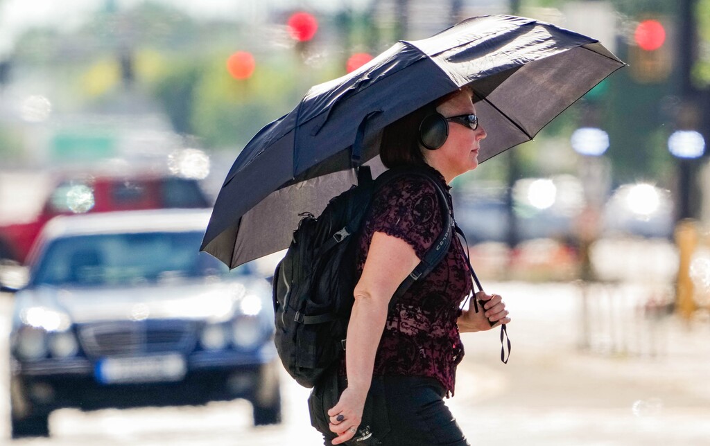
If you’ve been enjoying the warm weather in Houston this week, you’re not alone. Spring Break is off to a sunny start, with temperatures climbing steadily. However, this pleasant stretch could soon turn into a weather headache, as meteorologists warn of a potential storm system heading into the area later this week. Tuesday kicked off with clear skies and comfortable temperatures in the upper 70s, making for a perfect day outdoors. This warming trend will continue, and by midweek, Houston could see temperatures nearing 90°F. While it may feel like summer has arrived early, this unseasonable warmth is setting the stage for an unstable weather pattern.
Midweek Storm Threat Looms
Forecasters are closely watching a developing low-pressure system that could bring scattered storms to parts of Texas, including the Houston metro area. The biggest concern is for Wednesday, when the clash of warm, humid air with an incoming cold front could trigger thunderstorms. Areas north of Interstate 10 are at a higher risk of severe weather, with the potential for damaging wind gusts and hail. While Houston itself may stay mostly dry, weather experts say isolated storms cannot be ruled out. If you live in northern Harris County or surrounding areas, keep an eye on the sky, as conditions could change quickly.

Could Houston Break Heat Records?
By Thursday, the focus shifts back to the heat. Highs could approach 90°F in some parts of the city, which would put Houston dangerously close to setting new records. The reason for this sudden surge in temperatures? A dominant high-pressure system is keeping skies clear, allowing the sun to heat things rapidly. The warm spell is expected to continue through Friday, making this one of the hottest stretches of the year so far. If you’re planning to be outdoors, remember to stay hydrated and take breaks in the shade. This kind of heat can be deceptive, and with humidity on the rise, it could feel even hotter than the thermometer suggests.
Weekend Cool Down – But at a Cost
Relief from the heat may come just in time for the weekend, but it won’t arrive quietly. A second cold front is expected to move through Houston by Saturday, bringing another chance for storms. This system could pack stronger winds and heavier rainfall, making travel conditions difficult at times. By Sunday, temperatures will drop slightly, offering a break from the near-record highs. However, the unsettled pattern may stick around, so it’s best to stay updated on the latest forecasts.
How to Prepare for the Wild Weather Ahead
Houston residents should take a few simple steps to stay safe during this unpredictable week. Secure any loose outdoor objects before the wind picks up, and if storms develop, avoid unnecessary travel. If you plan to be outside in the heat, drink plenty of water and limit strenuous activities during peak hours. This week’s weather in Houston is shaping up to be a mix of extremes—blazing heat followed by the potential for dangerous storms. While you can enjoy the sunshine now, be sure to stay alert, as conditions could change in an instant!