
It’s official — the 2025 hurricane season has kicked off, and its first named storm, Tropical Storm Andrea, is already stirring up concern across the Atlantic. While the storm hasn’t threatened land yet, weather experts warn this could be a sign of a dangerously active season ahead.
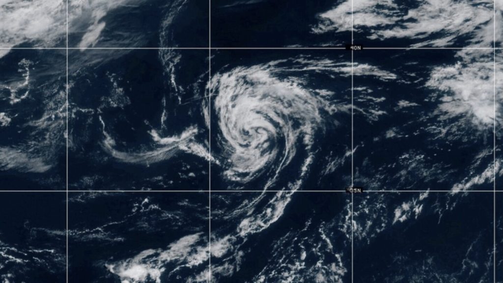
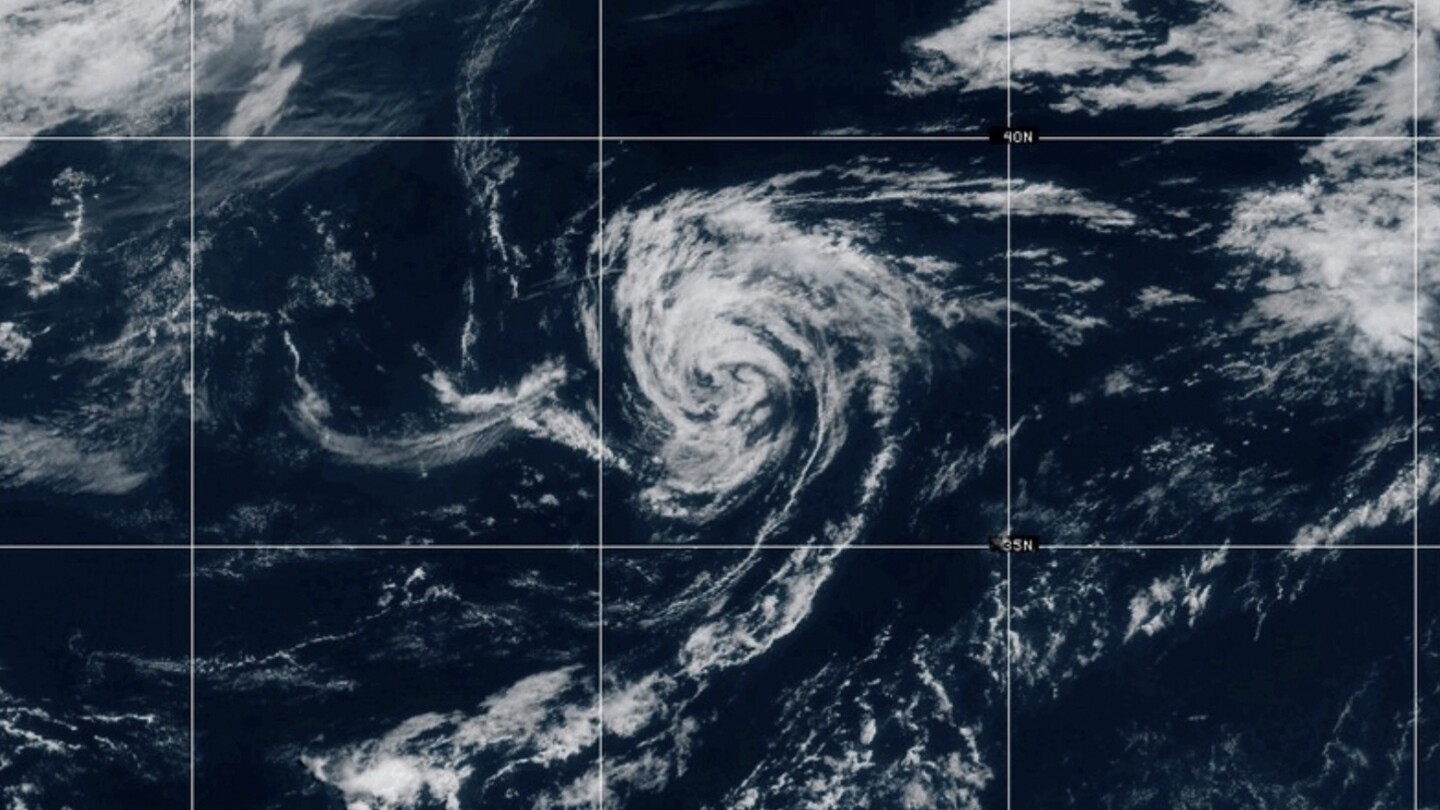
The National Hurricane Center (NHC) confirmed that Tropical Storm Andrea formed over the Atlantic Ocean earlier this week, marking the beginning of the hurricane season. As of now, Andrea has sustained winds of around 40 mph and is moving steadily through open waters. Although it is not expected to hit land at the moment, experts are urging coastal communities to stay alert.
The current forecast models suggest Andrea will remain far from the U.S. coastline, but forecasters stress that tropical weather systems can shift direction quickly. Even without a direct hit, Andrea could create rough seas, dangerous surf, and heavy rainfall in nearby marine regions.
Meteorologists say Andrea likely won’t strengthen into a hurricane, but it still serves as a wake-up call. The formation of this storm so early in the season has raised concerns among weather professionals who were already predicting a more intense hurricane season than average due to warmer ocean temperatures and climate patterns.
Officials are reminding residents in hurricane-prone areas — especially along the East Coast, Gulf of Mexico, and Caribbean — to use Andrea as a warning. Now is the time to check emergency supplies, make evacuation plans, and stay tuned to official weather alerts.
“Tropical Storm Andrea may not cause major damage, but it’s a clear reminder that we’re entering a season that could bring stronger, faster-developing storms,” said one NHC meteorologist.
As the 2025 hurricane season begins, many are watching Andrea closely, not just for what it will do — but for what it might signal about the storms yet to come.