
Oswego County, New York, is under a Winter Storm Watch as a powerful winter system moves into the region, threatening to bring heavy snow and hazardous travel conditions. Snowfall is expected to begin Saturday evening, intensifying overnight and continuing into Sunday, with totals ranging from 8 to 12 inches in some areas.
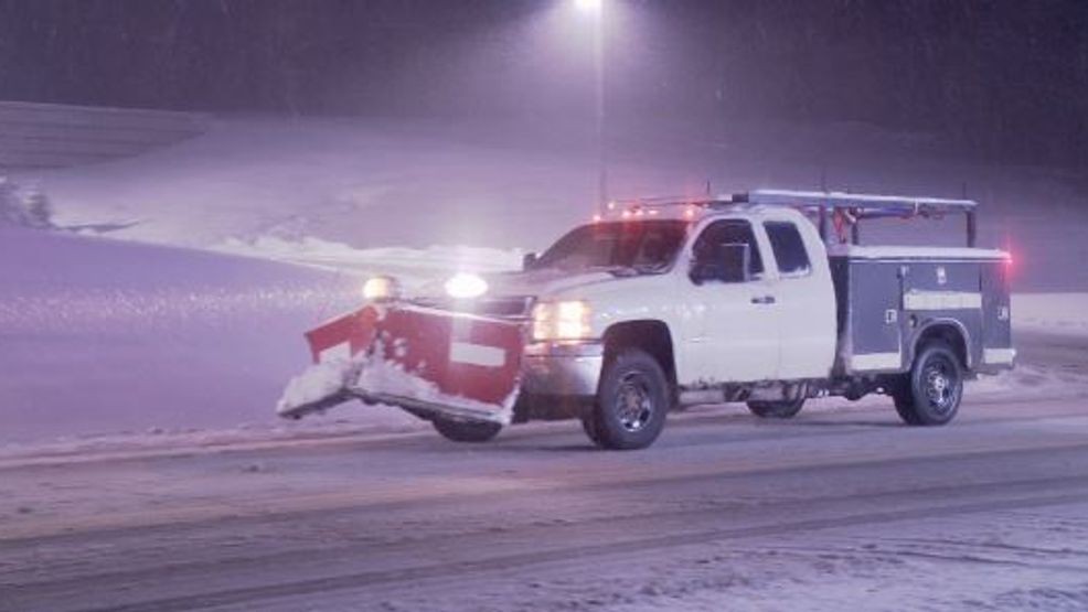
The storm will primarily impact areas along the eastern shores of Lake Ontario, where lake-enhanced snow is expected to boost accumulations. Winds gusting up to 25 mph will lead to blowing and drifting snow, significantly reducing visibility on roads. Residents should prepare for slow travel and potential delays, particularly on highways and rural routes.
Temperatures will remain in the mid-20s throughout the storm, adding to the risk of icy surfaces and slippery conditions. Local officials are urging residents to limit unnecessary travel and ensure their vehicles are winter-ready. Those in the hardest-hit areas are advised to stock up on supplies and prepare for the possibility of localized power outages due to heavy, wet snow.
Meteorologists warn that the storm will taper off late Sunday, but blowing snow may continue to impact visibility into Monday morning. Cleanup efforts could take time, especially in areas with significant drifts.
CONCLUSION:
With up to a foot of snow on the way, Oswego County residents should brace for a true winter blast. Plan ahead, drive cautiously, and stay updated as this storm makes its way across New York State.