
A powerful winter storm is set to batter Montana and Idaho this weekend, with forecasts calling for heavy snowfall, ice accumulation, and strong winds that could create blizzard-like conditions in some areas. The National Weather Service has issued Winter Storm Warnings and Watches, warning residents to brace for days of dangerous travel and potential power outages.

Storm Overview
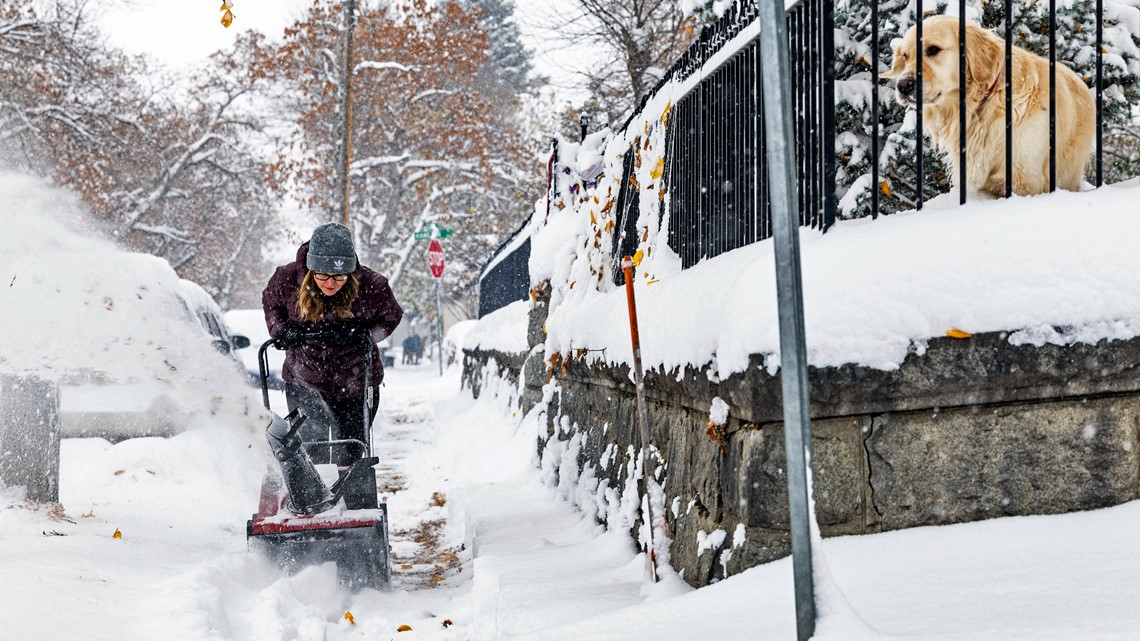
The storm is expected to arrive Friday morning, gradually intensifying over the weekend before tapering off by Monday evening. Higher elevations in both states could see snowfall totals of up to 26 inches, while lower regions may face a dangerous mix of snow, ice, and freezing rain.
What to Expect:
- Heavy Snow: Mountain regions, including the Bitterroot Range and parts of the Northern Rockies, could see 18 to 26 inches of snow.
- Ice Accumulation: Lower elevations may receive a mix of snow and freezing rain, making roads slick and dangerous.
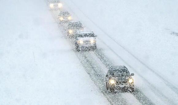
- Strong Winds: Wind gusts of up to 60 mph are expected, particularly in open and mountainous areas. Blowing snow will further reduce visibility, creating near-whiteout conditions in some regions.
Major Impact Areas:
- Montana: Regions around East Glacier Park, Southern Rocky Mountain Front, and areas west of Billings are expected to be hit hard with heavy snow and gusty winds.
- Idaho: The Panhandle, Coeur d’Alene area, and portions of the Sawtooth Mountains will likely experience significant snowfall and ice.
Why This Storm Could Be Dangerous:
The combination of heavy snow and ice with high winds could lead to downed trees and power lines, making power outages likely in some areas. Blowing snow will create hazardous travel conditions, with mountain passes and highways at risk of closure. Drivers are urged to delay travel if possible, as icy roads and reduced visibility could result in accidents.
Safety Tips:
- Travel Caution: Avoid driving during the storm if possible. If you must travel, ensure your vehicle is equipped with an emergency kit, tire chains, blankets, food, and water.
- Prepare Your Home: Charge devices, stock up on food and water, and have flashlights and batteries ready in case of power outages.
- Monitor Conditions: Stay informed by checking local weather updates and road conditions before venturing out.
Looking Ahead:
The storm is expected to ease by late Monday, but snow-packed and icy roads could linger well into next week, especially in higher elevations. Road crews will be working overtime to clear highways, but delays and detours are expected. Residents are encouraged to stay home, stay warm, and stay safe.