
A winter storm sweeping through parts of Idaho and Oregon is bringing heavy snow, gusty winds, and icy roads, with a winter weather advisory in effect until 5 p.m. MST Saturday.

Snowfall and High Winds Create Dangerous Travel Conditions
For those in Idaho’s West Central Mountains, Boise Mountains, and Camas Prairie, this storm could drop up to 7 inches of snow in lower elevations and as much as 12 inches in the mountains. According to the National Weather Service (NWS) in Boise, the combination of snow and wind gusts up to 40 mph will create whiteout conditions in some areas, making mountain travel dangerous and visibility near zero at times. The storm’s impacts aren’t limited to Idaho—Oregon’s Upper Weiser River, Baker County, and Lower Treasure Valley are also under advisories until Friday evening, with additional snow and slick roads expected.
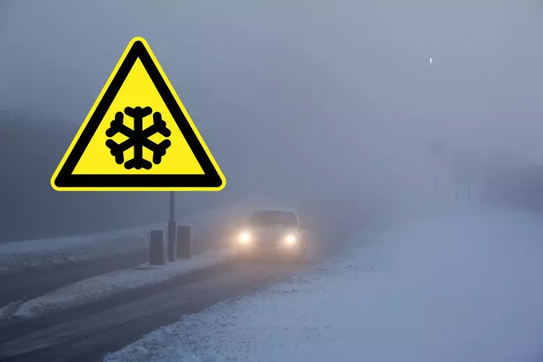
Slick Roads and Icy Bridges: Travel Nightmare Ahead
Drivers across the region are being warned to expect slow and difficult travel, especially on mountain passes and rural highways. In Oregon, roads through Baker County and the Lower Treasure Valley could see significant disruptions during Friday evening commutes as 2 more inches of snow accumulate. Bridges and overpasses are especially prone to becoming icy, creating hidden dangers for motorists.
Idaho’s mountain passes, already slick from ongoing snowfall, are the main concern as snow totals climb throughout Saturday. The NWS cautions that strong wind gusts could blow snow back onto already-cleared roads, reducing visibility and creating dangerous drifts.
Motorists are advised to reduce speed, use caution, and carry winter emergency supplies, including tire chains, blankets, flashlights, and food. Checking road conditions before departing is essential—dial 511 for updates in both Idaho and Oregon.
Be Prepared for Power Outages and Unpredictable Conditions
This isn’t just about tough driving—the storm’s high winds could also cause power outages, particularly in areas where heavy snow weighs down tree limbs near power lines. Residents are encouraged to charge phones and devices ahead of time and have backup supplies ready, including batteries, water, and non-perishable food. For those planning weekend trips to higher elevations or ski resorts, caution is key. Mountain passes could become impassable without warning, and emergency services may be delayed due to the hazardous conditions. If you can, consider delaying travel until after the storm passes or plan alternative routes through lower elevations.

Stay Informed
As the storm progresses, local forecasts will provide the most accurate updates, so it’s important to stay informed. Snowfall may ease by Saturday evening, but lingering snowdrifts and ice will likely keep roads hazardous into Sunday. For now, officials are asking one thing: Don’t take risks on the road. This storm has the potential to make even routine travel dangerous. If you don’t have to be out there, it’s best to wait it out and stay safe indoors.