

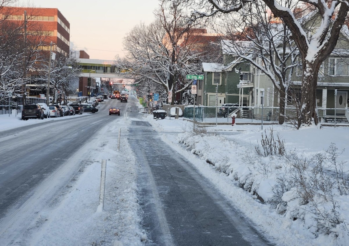
A winter storm is set to grip northeastern Minnesota and northwestern Wisconsin this weekend, bringing up to 6 inches of snow and gusty winds that could make travel conditions dangerous.
Heavy Snow and Hazardous Travel Expected This Weekend
The National Weather Service (NWS) in Duluth has issued a Winter Weather Advisory from 10 a.m. Saturday to 6 a.m. Sunday for St. Louis, Carlton, Cook, and Lake Counties in Minnesota, as well as Douglas and Bayfield Counties in Wisconsin. The snow will start late Saturday morning, picking up in intensity by the afternoon and evening. Some areas northeast of Duluth, including the Apostle Islands National Lakeshore and the Boundary Waters region, are expected to receive the highest totals, with snow falling at rates of up to 0.5 inches per hour during the heaviest bursts.
Gusty Winds and Low Visibility Pose Major Risks
In addition to the steady snowfall, southeast winds gusting up to 20 mph will reduce visibility further, creating whiteout-like conditions on some roads. Travelers should be prepared for slick, snow-covered roads and rapidly changing conditions, especially on highways and rural routes.
The combination of wet snow and gusty winds could also create slushy, slippery surfaces on bridges and overpasses, making driving even more hazardous. If you’re planning to travel on Saturday afternoon or evening, expect delays and leave extra time to reach your destination safely.
Authorities are urging drivers to slow down and use caution, especially in areas prone to drifting snow. It’s also a good idea to pack an emergency kit with essentials like blankets, food, water, and a flashlight in case you become stranded.
Stay Updated and Avoid Unnecessary Travel
For those living in or traveling through St. Louis, Cook, Lake, Douglas, and Bayfield counties, staying informed is key. Visit 511mn.org for Minnesota road conditions or 511wi.gov for updates in Wisconsin. Plows and salt trucks will be out in force, but even treated roads could be slippery during the heaviest snowfall periods.
If you can, consider postponing non-essential travel until after the storm clears. While snow is expected to taper off by early Sunday morning, lingering icy patches could still create hazards during the morning commute. Pedestrians should also be cautious, as sidewalks and driveways could become icy and difficult to navigate.

As the weekend unfolds, keep an eye on local forecasts for any changes in snow totals or wind speeds. Winter storms like this can shift quickly, and additional snowfall or gustier winds could worsen conditions unexpectedly. Whether you’re heading out for errands or a weekend adventure, be prepared, stay cautious, and check for updates before you go.