
Don’t be fooled by the weekend calm—West Virginia’s skies are taking a breather after this week’s heavy rains, but it’s only temporary. Starting next week, another round of storms will have you checking your rain boots and emergency kits again. Enjoy this weekend’s mild weather, but don’t let your guard down
This Saturday, most areas across the state will enjoy cooler temperatures with partly sunny skies and no immediate rain threats. Charleston, Huntington, and Morgantown will see highs in the low-to-mid 40s, making it a great opportunity to venture out and soak up some much-needed sun.
But Sunday brings an intriguing twist—temperatures will climb fast, with Charleston hitting a high of 60°F and Huntington warming up to 61°F. Clouds will start gathering, hinting at the chaos that lies ahead next week.
Why the Calm Won’t Last:
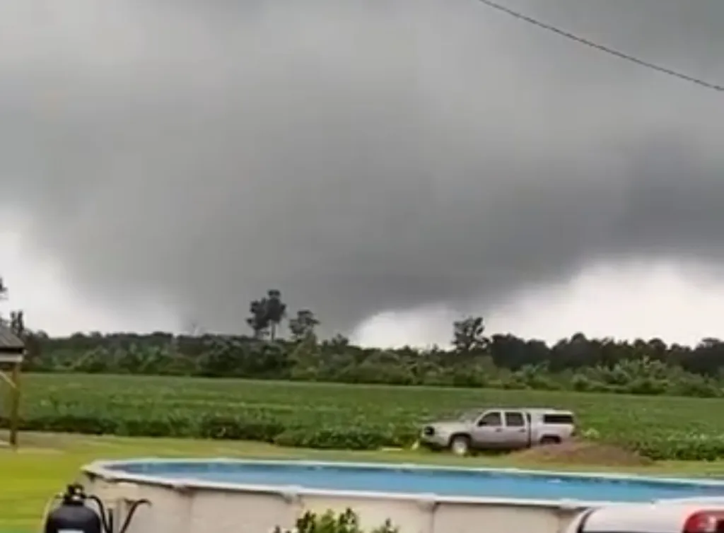
Forecasters are keeping a close watch on weather patterns signaling a return of severe conditions as early as Monday or Tuesday. With recent heavy rainfall leaving the ground saturated, another storm could heighten the risk of flooding. Officials are urging residents to remain vigilant and prepared.
Quick Safety Tips:
- Keep drains and gutters clear of debris.
- Stay updated with local alerts.
- Prepare emergency supplies in case of flash floods.
The calm before the storm is upon us, West Virginia—but this is just the eye of the weather hurricane. Stay alert, stay dry, and keep your eyes on the sky