
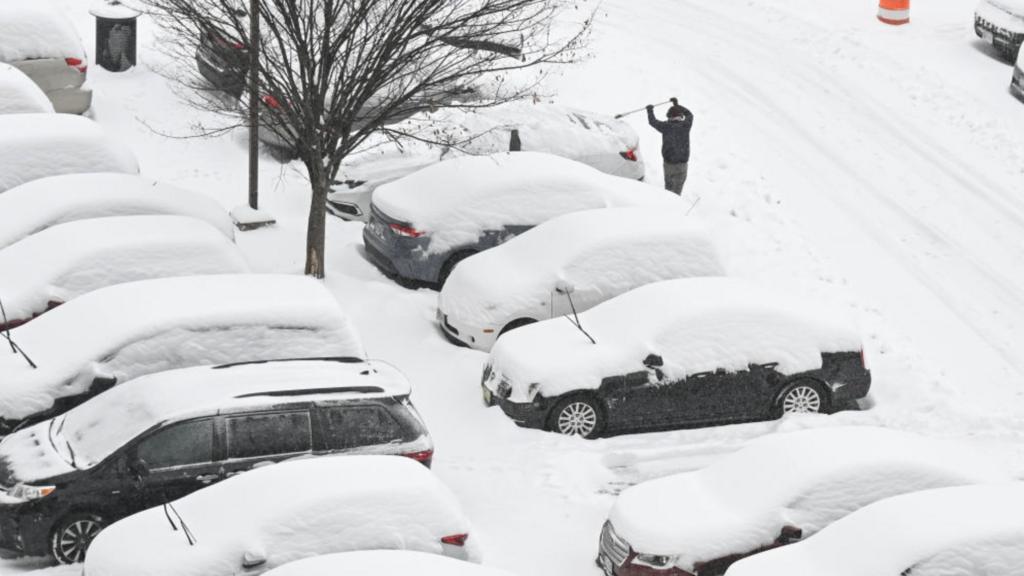
A potent winter storm is set to impact Minnesota’s Northland region, bringing substantial snowfall and challenging travel conditions from Saturday morning through Sunday. The National Weather Service has issued Winter Weather Advisories and Winter Storm Warnings for several counties, including Carlton, South St. Louis, and North St. Louis.
Forecast Overview:
- Duluth: Snow is expected to begin late Saturday morning, with the heaviest snowfall rates occurring from the afternoon into late evening. Total accumulations between 3 to 6 inches are anticipated. Gusty southeast winds may reduce visibility, making travel hazardous.
- Grand Rapids: Snow will start in the morning, continuing throughout the day with expected accumulations between 2 to 4 inches. Gusty southeast winds could lead to reduced visibility.
- International Falls: Periods of snow and flurries are expected, with accumulations of 2 to 4 centimeters. Breezy conditions may accompany the snowfall.
- Ely: Snow is anticipated to begin late Saturday morning, with total accumulations between 3 to 6 inches. Gusty southeast winds may lead to reductions in visibility.
Safety Precautions:
- Travel: Plan for slippery road conditions and reduced visibility. If travel is necessary, exercise caution, reduce speeds, and allow extra time to reach your destination.
- Stay Informed: Monitor local weather updates and heed any additional warnings or advisories. For the latest road conditions
- Preparedness: Ensure your vehicle is equipped with an emergency kit, including blankets, a flashlight, and non-perishable snacks. Keep your gas tank full to prevent fuel line freeze-up.
Looking Ahead:
The snow is expected to taper off by Sunday morning, but cold temperatures and breezy conditions will persist. As we move into the first week of February, anticipate a return to typical winter conditions, with colder temperatures and the possibility of additional snowfall.