
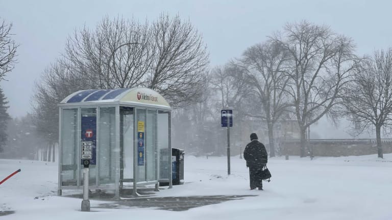
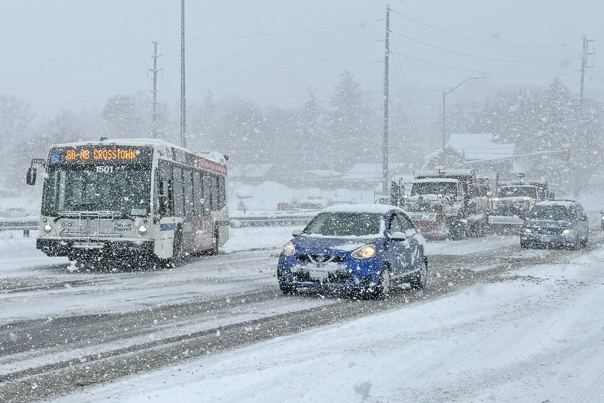
A significant winter storm is poised to impact Minnesota midweek, bringing a hazardous mix of freezing drizzle, snow, and cold temperatures. Residents should be ready for slippery roads and potential travel disruptions.
Minneapolis: Light Snow Expected
Currently, Minneapolis is experiencing mostly cloudy skies with a temperature of -2°F (-19°C). Today will be mostly cloudy and colder, with a high of 12°F (-11°C) and a low of 9°F (-13°C). On Wednesday, February 5, expect cloudy skies with a little snow in the afternoon, though little or no accumulation is anticipated. The high will be around 27°F (-3°C), with a low of 15°F (-10°C). While significant accumulation isn’t expected, untreated surfaces can still be hazardous.
Duluth: Afternoon Snow and Wind
In Duluth, it’s currently mostly sunny at -6°F (-21°C). Today will be mostly cloudy and frigid, with a high of 13°F (-10°C) and a low of 3°F (-16°C). Wednesday will bring cloudy skies with some snow in the afternoon, accumulating a coating to 1 cm. The high is expected to reach 22°F (-6°C), with a low of 18°F (-8°C). These conditions could make roads slick, especially during the afternoon commute.
Rochester: Freezing Drizzle in the Afternoon
Rochester is currently partly sunny with a temperature of 1°F (-17°C). Today’s forecast is mostly cloudy and colder, with a high of 14°F (-10°C) and a low of 10°F (-12°C). On Wednesday, anticipate a bit of freezing drizzle in the afternoon; otherwise, it will be cloudy and not as cold. The high will be near 26°F (-3°C), with a low of 21°F (-6°C). Afternoon travel may become hazardous due to icy conditions.
St. Paul: Cloudy with Light Snow
Currently, St. Paul is experiencing mostly cloudy skies at -2°F (-19°C). Today will be mostly cloudy and cold, with a high of 12°F (-11°C) and a low of 9°F (-13°C). Wednesday’s forecast includes cloudy skies with a little snow in the afternoon, though little or no accumulation is expected. Expect a high of 27°F (-3°C) and a low of 15°F (-10°C). Even minimal snow can lead to slippery conditions, so caution is advised.
Bloomington: Light Snow in the Afternoon
In Bloomington, it’s currently mostly cloudy at -2°F (-19°C). Today’s weather will be mostly cloudy and colder, with a high of 12°F (-11°C) and a low of 9°F (-13°C). On Wednesday, expect cloudy skies with a little snow in the afternoon; little or no accumulation is anticipated. The high will be around 27°F (-3°C), with a low of 15°F (-10°C). Afternoon conditions may become treacherous due to ice formation.
Safety Recommendations:
- Limit Travel: If possible, avoid driving during periods of freezing drizzle and snow to reduce the risk of accidents.
- Check Updates: Keep checking local updates to stay safe in advance.
- Prepare Your Vehicle: Ensure your vehicle is equipped with emergency supplies, including blankets, a shovel, and a flashlight.
- Dress Warmly: Wear appropriate clothing to protect against the cold and potential frostbite.
Stay safe, Minnesota!