
If you’ve stepped outside in Brownsville recently, you might be wondering whether winter took an early vacation. Temperatures have been soaring to levels more typical of late spring than early February, leaving many residents trading their jackets for short sleeves. But while the warm and breezy conditions may feel like a welcome break, they won’t last forever. According to meteorologists, a shift in the weather pattern is just around the corner, and those who love the sunshine should make the most of it now. A significant drop in temperatures is expected next week, bringing an end to this unseasonable stretch of warmth.
How Warm Will It Get?
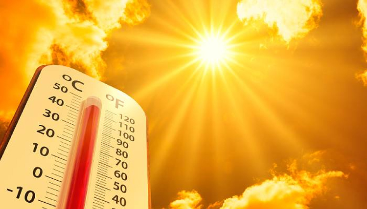
For now, Brownsville is soaking in the sunshine with temperatures hovering around 83°F (28°C). A morning shower briefly passed through parts of the region, but for the rest of the day, conditions remain breezy and mostly sunny, with winds coming from the south-southeast at around 14 mph. The warm streak will continue into the weekend, bringing some of the highest February temperatures on record for the area.
- Saturday, February 8: Expect another warm and breezy day, with morning fog possible before the sun breaks through. Highs will reach 84°F (29°C), coming close to the record high of 86°F set in 2017.
- Sunday, February 9: Similar conditions persist, with partly sunny skies and temperatures holding steady around 83°F (28°C). The combination of warm air and breezy conditions will make it feel more like late April than early February.
But while this warmth may seem endless, big changes are on the horizon.

When Will the Cool Down Begin?
As early as Monday, February 10, clouds will begin to take over, bringing a noticeable shift in the atmosphere. While it will still be warm, with highs around 82°F (28°C), the winds will begin to shift, signaling the arrival of a new weather system.
- Tuesday, February 11: Overcast skies and lingering breezy conditions will keep things warm, but the feeling of change will be in the air. Highs remain near 83°F (28°C).
- Wednesday, February 12: A chance of morning showers will add to the mix, with mostly cloudy skies dominating the day. Temperatures will hover around 83°F (28°C).
- Thursday, February 13: The real cooldown begins, with temperatures dropping to 67°F (20°C). Skies will clear up slightly, but the drop in temperature will be noticeable after nearly a week of near-record highs.
What This Means for Brownsville Residents
The drastic change in temperatures may catch some people off guard, especially after days of consistent warmth and sunshine. While there’s no extreme weather on the immediate horizon, this shift could be the first sign of more weather patterns returning to the region in the coming weeks.
Here’s what you need to keep in mind:
- Dress for changing conditions. While warm temperatures will continue through the weekend, next week’s cool down will bring a 15-20 degree drop, so don’t put away your sweaters just yet.
- Be mindful of morning fog. Visibility could be reduced early Saturday morning, so if you’re out driving, take extra precautions.
- Stay informed about potential rain. While showers aren’t a major concern right now, the increased cloud cover next week could lead to some unexpected drizzle.
What’s Next?
After next week’s cool down, temperatures could fluctuate even more, meaning this isn’t the last big weather change we’ll see this month. Brownsville’s warm winter has been unusual so far, and long-range forecasts suggest that more shifts could be coming later in February. For now, residents should enjoy the unexpectedly warm days while they last—but be ready for a different feel in the air as next week unfolds. If you’ve been wondering when winter will finally make an appearance in Brownsville, it looks like next week might bring the closest thing to it.