
Southern Oregon is in the grip of frigid nights and dense morning fog, but a major shift in weather is coming midweek. According to meteorologists, an approaching Pacific storm system will bring rain and snow by Wednesday, ending the current dry but freezing spell.
Cold and Foggy Start to the Week
The National Weather Service (NWS) reports that a high-pressure system is keeping skies mostly clear during the day, but at night, temperatures are plunging into the low 20s°F (-6°C). This has led to the formation of thick fog, particularly in Medford, Ashland, and Grants Pass, where visibility has dropped to near zero in some areas during early mornings.
Monday and Tuesday will remain cold and dry, with daytime highs hovering around 42-43°F (6°C) and overnight lows falling into the teens and low 20s. Travellers should use caution, as fog and icy spots on roads may create hazardous conditions, especially during morning commutes.
Midweek Storm Brings Rain and Snow
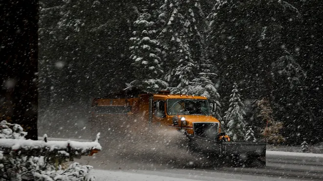
The big change arrives on Wednesday as a Pacific storm system moves into the region. Forecasters say the storm will first bring rain to lower elevations before transitioning to snow in higher areas.
Forecasted Impacts:
- Valleys (Medford, Ashland, Grants Pass): Expect rain showers early Wednesday, with possible light snow mixed in by late evening as temperatures drop.
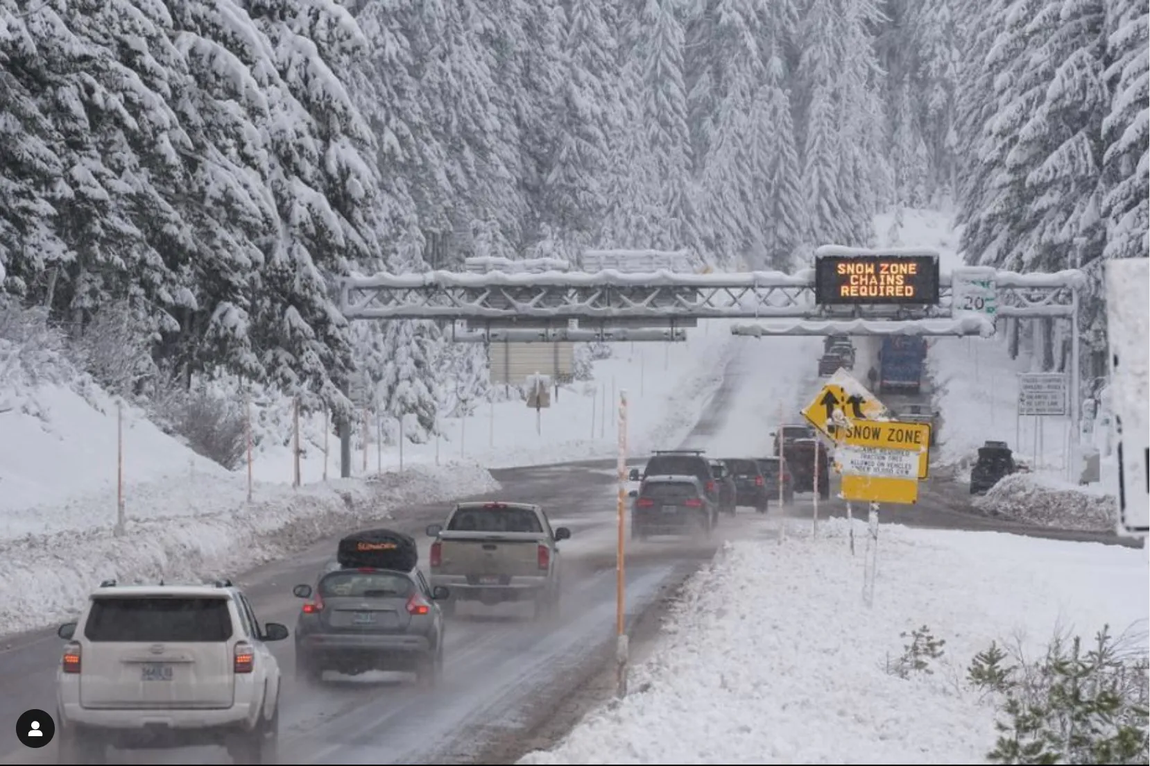
- Higher Elevations (Siskiyou Mountains, Crater Lake, Cascades): Several inches of snow are likely, which could impact mountain passes.
- Coastal Areas: Rain is expected, but colder inland air may bring wintry mix conditions to some locations.
How to Prepare
With changing weather conditions, residents should be ready for potential travel disruptions and rapid temperature drops. Here’s what to keep in mind:
✔ Drive Safely: Morning fog and icy patches can make roads dangerous. Reduce speed and use headlights in foggy areas.
✔ Prepare for Snow: If travelling into higher elevations, have chains, blankets, and emergency supplies in your vehicle.
✔ Stock Up on Essentials: Snow and ice could cause temporary power outages—keep extra food, water, and batteries on hand.
✔ Protect Pets and Pipes: Freezing temperatures can damage pipes and pose risks to outdoor animals, so take precautions.
What’s Next?
Weather experts are closely monitoring the storm’s movement, and snowfall amounts could increase depending on its track. Residents should stay updated with local forecasts as the system moves closer.
With icy nights, thick fog, and an approaching winter storm, Southern Oregon is in for an eventful week—so stay prepared and stay safe!