
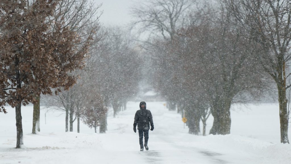
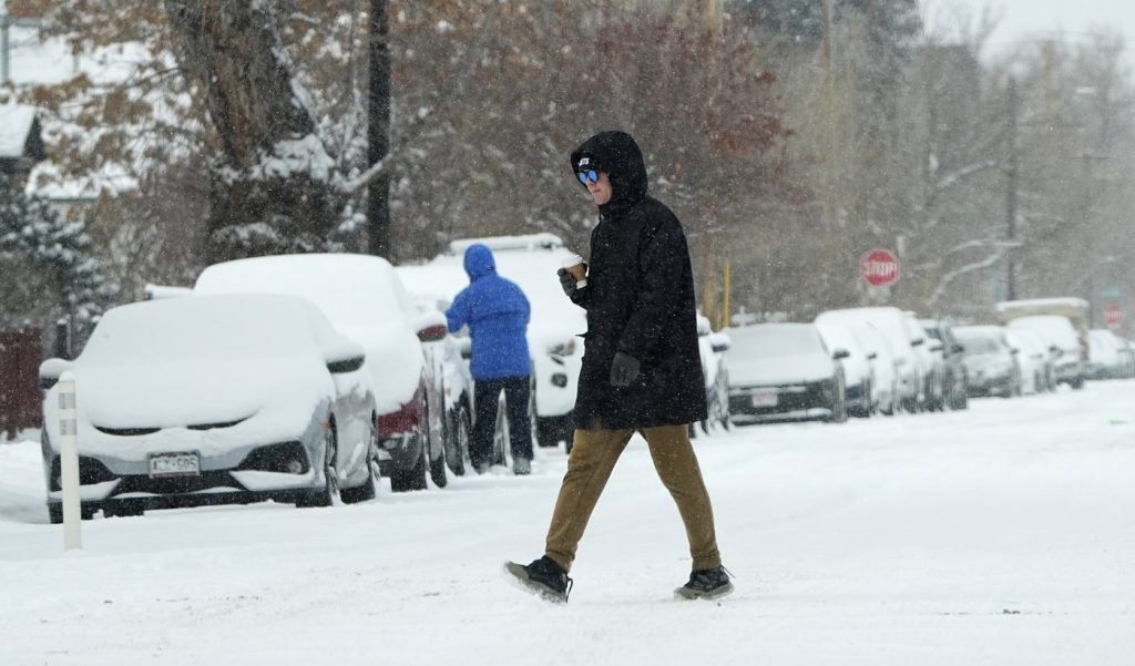
Winter is tightening its grip on Waterloo, and it’s not letting go anytime soon. With snow flurries and freezing temperatures expected to dominate the coming week, local officials are warning residents to take precautions. From icy roads to bone-chilling winds, it’s going to be a tough few days for anyone traveling or spending time outside. Meteorologists predict a mix of light to moderate snowfall through the week, paired with subzero temperatures that will keep streets icy and sidewalks slippery. Don’t expect much melting either—this cold snap is here to stay for now.
Monday: Light Snow Makes Its Entrance
The week kicks off on a chilly note Monday, with daytime temperatures hovering around -6°C (21°F) and dropping to -12°C (10°F) overnight. Light snow will move into the area by the afternoon, making for a messy evening commute. Drivers should expect slick roads, and pedestrians should watch out for icy patches, especially on untreated sidewalks. A brisk wind will add to the chill, making it feel even colder than the thermometer suggests.
Tuesday: Cold and Cloudy with More Snow
Tuesday will bring more light snow, but the real concern will be the continued cold. Highs will reach only -5°C (23°F), with wind chills making it feel even colder. As night falls, temperatures will drop to -14°C (6°F). Although snowfall amounts aren’t expected to be heavy, the combination of light snow and freezing conditions will leave many surfaces icy and dangerous.
Wednesday: Overcast Skies and Bitter Cold Continue
The cold streak carries on into Wednesday with overcast skies and a high of just -7°C (19°F). Snow flurries are possible, though they’re not expected to accumulate much. The bigger issue will be the persistent chill and slick conditions on roads, parking lots, and walkways.
Thursday: Icy Mornings and Frigid Temperatures
By Thursday, things won’t improve much. Temperatures will once again top out around -5°C (23°F) during the day before falling to -12°C (10°F) at night. Any lingering snow from earlier in the week could freeze overnight, creating dangerous conditions for morning commuters. Leave extra time to scrape windshields and drive carefully.
Friday: Ending the Week on a Frosty Note
Friday won’t provide much relief either. Highs will stay around -9°C (17°F), and the bitter cold will likely keep any existing ice from melting. Roads and sidewalks will remain slick, so be cautious when heading out.
How to Stay Safe This Week
- Layer Up: Wearing multiple layers of clothing will help protect you from the bitter cold.
- Drive Safely: Allow extra travel time and reduce your speed on slick roads. Black ice could form, making conditions tricky.
- Check on Neighbors: Elderly or vulnerable individuals may need help with heating or supplies during this cold stretch.
- Stay Informed: Monitor weather updates for any changes in the forecast.
Winter isn’t holding back this week, but with proper planning, Waterloo residents can weather the storm safely. Keep your winter gear handy, drive cautiously, and stay warm!