
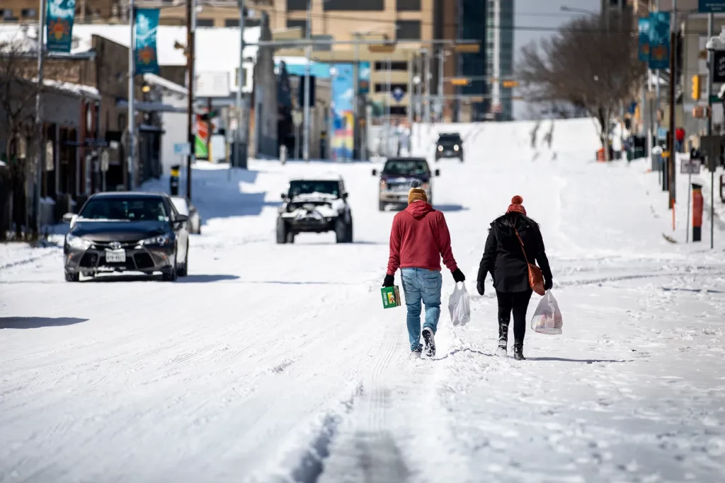
Montana is in the crosshairs of an intense winter storm as a powerful Arctic front pushes into the region, bringing subzero temperatures, heavy snowfall, and dangerous wind chills. Forecasters warn that this could be one of the harshest winter events of the season, with life-threatening cold and hazardous road conditions expected over the next several days. Residents are urged to take this storm seriously and prepare accordingly. As of today, the state is already experiencing bitterly cold conditions. Billings sits at a frigid -7°F (-22°C) under mostly sunny skies, while Missoula is slightly warmer but still icy at -2°F (-19°C). Great Falls is locked in a deep freeze at -6°F (-21°C). But this is just the beginning. As the Arctic air settles in, temperatures are expected to plummet even further, and heavy snowfall will make travel nearly impossible in some areas.
How Bad Will It Get?
The first impacts of the storm will begin on Thursday as cloud cover increases, signaling the approach of the Arctic front. In Billings, temperatures will rise slightly to a high of 24°F (-4°C) before dipping back down to 8°F (-13°C) overnight. Missoula will stay colder with a high of 15°F (-10°C) and a low of 12°F (-11°C), while Great Falls will remain locked in subzero conditions with a high of 18°F (-8°C) and a low of 2°F (-17°C).
By Friday, the storm will intensify, bringing widespread snowfall across Montana. Snow is expected to start in the morning and continue throughout the day, with accumulations of several inches possible. Billings could see a high of just 16°F (-9°C), with a nighttime low of 2°F (-17°C). Missoula and Great Falls will experience similar conditions, with temperatures hovering well below freezing and snow creating treacherous road conditions.
Saturday will bring the worst of the Arctic blast, with highs struggling to reach single digits and lows plunging to dangerous levels. Wind chills will make it feel even colder, possibly reaching -40°F (-40°C) in some areas, which can cause frostbite within minutes.
What This Means for You
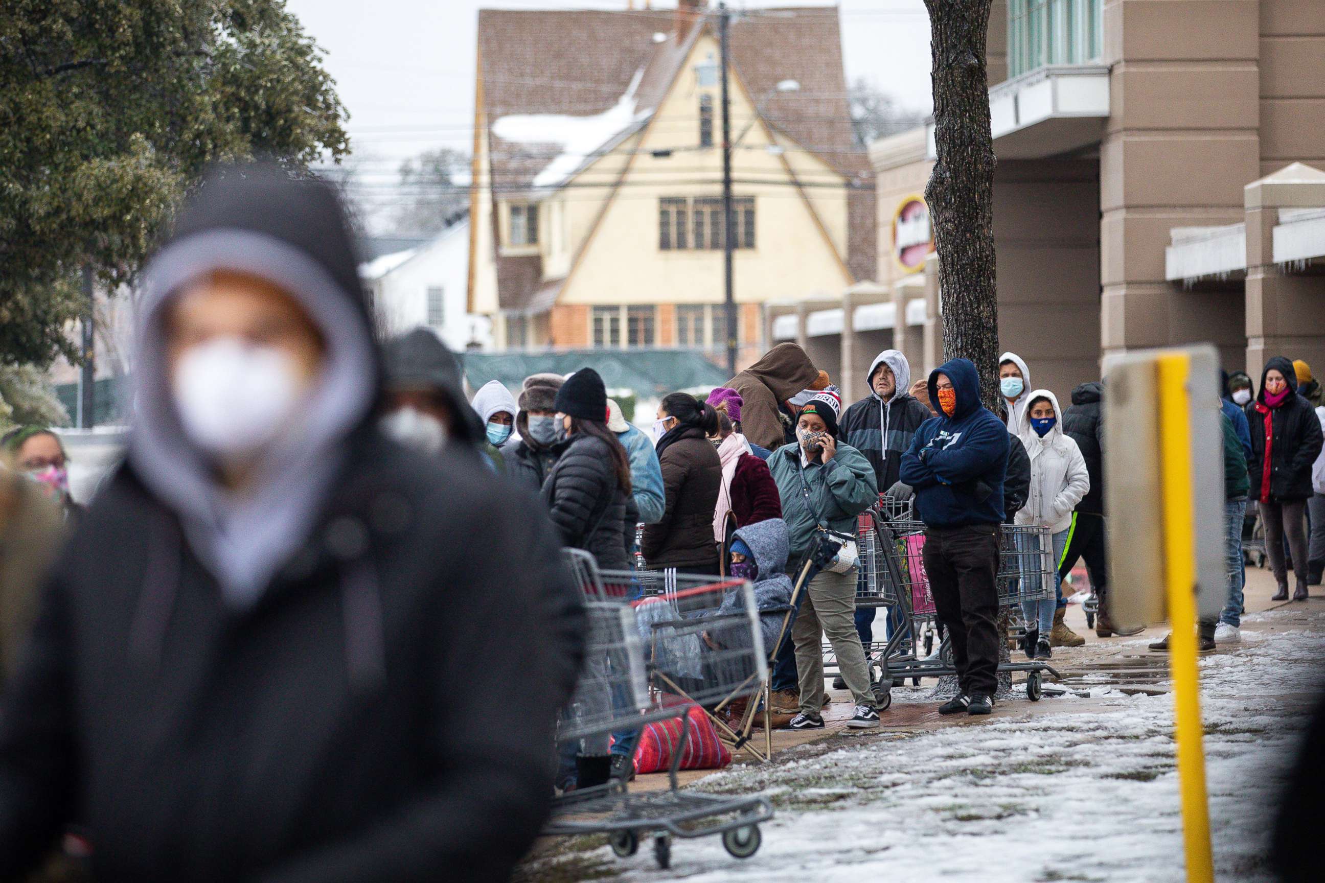
- Extreme Cold is a Serious Threat: Temperatures this low can lead to frostbite and hypothermia in minutes. If you must go outside, wear multiple layers and cover all exposed skin.
- Travel Will Be Dangerous: Snow and ice will make roads treacherous, and blowing snow could cause near-zero visibility. If you don’t have to drive, stay home.
- Power Outages are Possible: Strong winds and heavy snow could weigh down power lines, leading to outages in some areas. Be prepared with extra blankets, flashlights, and emergency supplies.
- Livestock and Pets Need Protection: If you have animals, make sure they have adequate shelter, food, and access to unfrozen water.
How to Prepare and Stay Safe
- Limit Outdoor Exposure: With wind chills potentially reaching -40°F (-40°C), frostbite can occur in just 5–10 minutes. If you must go outside, wear insulated clothing and protect all exposed skin.
- Stock Up on Essentials: Have at least three days’ worth of food, water, and emergency supplies in case road conditions prevent travel.
- Prepare Your Vehicle: If you must drive, keep a winter survival kit in your car, including blankets, food, water, a flashlight, and a fully charged phone.
- Check on Neighbors: Elderly or vulnerable individuals may need assistance during extreme cold events. Make sure they have adequate heating and supplies.
Final Thoughts
Montana is no stranger to winter storms, but this Arctic blast is shaping up to be one of the most severe of the season. With extreme cold, heavy snow, and dangerous wind chills on the way, the best way to stay safe is to prepare now. If you don’t have to go out, stay indoors, keep warm, and monitor weather updates closely. The next few days will be brutal, but with proper precautions, you can ride out the storm safely. Stay warm, stay safe, and take this storm seriously, Montana!