
A powerful winter storm is set to hit Connecticut this weekend, bringing heavy snow, dangerous ice, and bitter cold. The National Weather Service (NWS) has issued Winter Storm Warnings and Winter Weather Advisories across the state, warning residents to prepare for hazardous conditions. This storm is expected to bring several inches of snow, followed by a wintry mix of sleet and freezing rain, making travel nearly impossible. And just when the storm ends, an arctic air mass will rush in, dropping temperatures dangerously low and creating black ice hazards across the state.
Snow, Ice, and Treacherous Travel Conditions
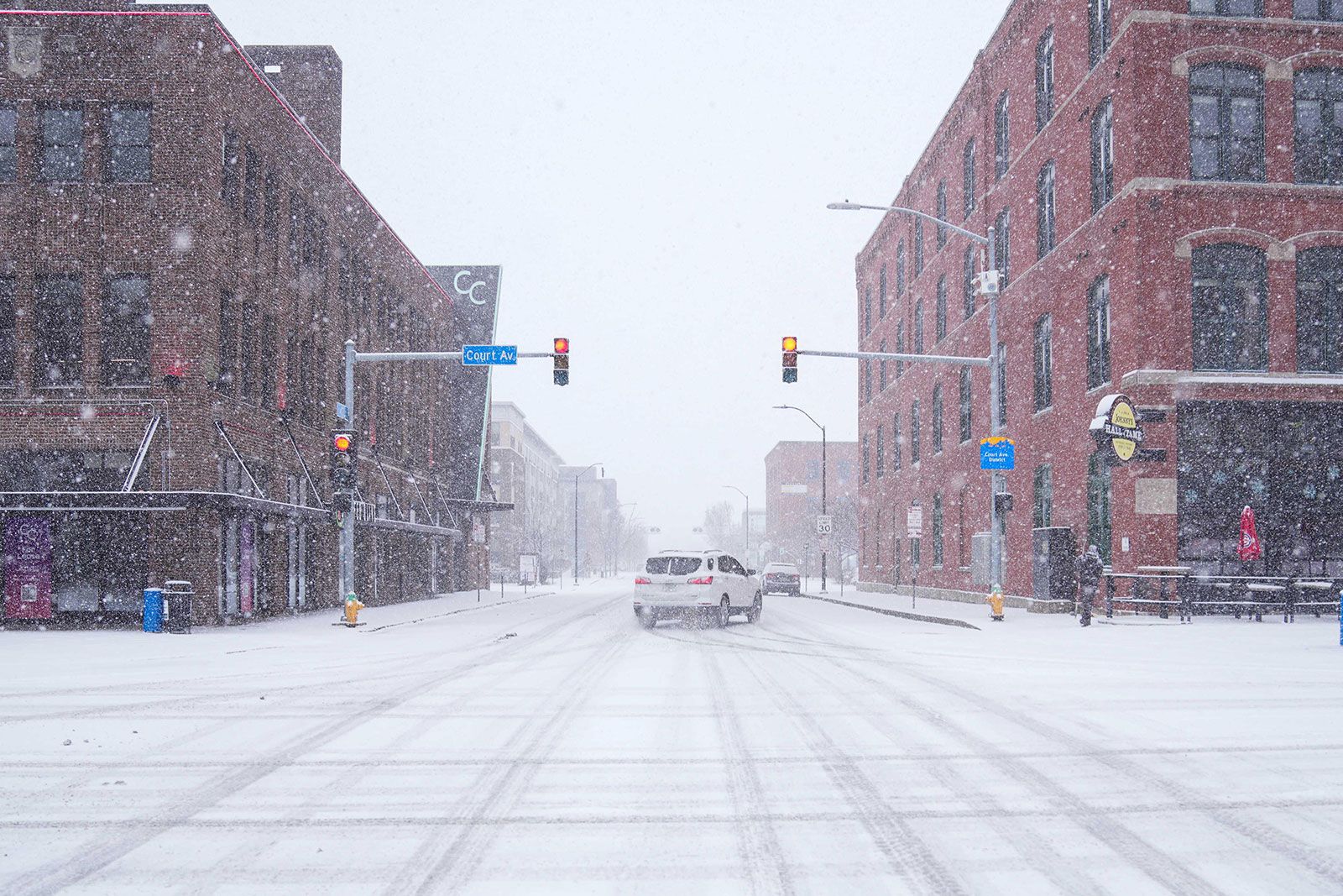
Forecasters predict the storm will arrive Saturday afternoon, dumping snow across the state before transitioning into a dangerous mix of sleet and freezing rain.
- Snowfall Totals: Coastal areas will see 1 to 3 inches of snow, while northern Connecticut could receive up to 6 inches before the changeover to ice.
- Icy Conditions: By Saturday evening, the snow will turn into freezing rain, creating a dangerous glaze of ice on roads, sidewalks, and power lines.
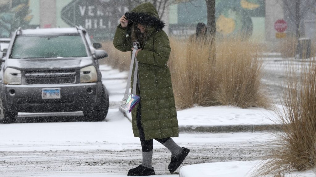
- Travel Warnings: Roads will become slick and hazardous, and officials urge residents to avoid driving unless necessary.
Several cities, including Hartford, Bridgeport, and New Haven, have already issued parking bans to ensure snow removal crews can clear the streets efficiently. Those who park on restricted roads risk fines and towing.
Brief Warm-Up Before a Brutal Deep Freeze
As temperatures briefly climb into the mid-40s on Sunday, the wintry mix will turn into rain, giving a false sense of relief. However, a surge of arctic air will arrive Sunday night, sending temperatures plummeting and causing any leftover water to freeze solid.
By Monday morning, Connecticut will be locked in a deep freeze with lows dropping into the teens and single digits. This will create black ice conditions on untreated roads and sidewalks, making Monday morning’s commute extremely dangerous.
Governor Ned Lamont has activated the severe cold weather protocol, urging residents—especially the elderly, children, and those without adequate heating—to seek shelter and avoid prolonged exposure to the cold.
How to Stay Safe During This Dangerous Storm
With conditions quickly turning hazardous, residents should take immediate precautions:
- Limit Travel: If possible, stay indoors during the height of the storm. If you must drive, carry an emergency kit with blankets, food, water, and a flashlight.
- Prepare for Power Outages: Ice accumulation could bring down power lines and outages. Charge all electronic devices and have a backup heating source ready.
- Watch for Black Ice: After the storm, road conditions will be deceptive. What looks like wet pavement could be solid ice. Walk and drive cautiously.
- Check on Neighbors and the Elderly: Make sure vulnerable individuals have a safe, warm place to stay during the deep freeze.
Stay Alert and Be Ready
This dangerous winter storm is not one to take lightly. With snow, ice, and a deep freeze on the way, Connecticut residents need to prepare now. Stay off the roads, stock up on essentials, and stay updated on emergency alerts as the storm unfolds. As always, the best way to stay safe is to be prepared—and with this storm set to impact millions across the Northeast, Connecticut is right in the danger zone. Stay indoors, stay warm, and stay safe!