
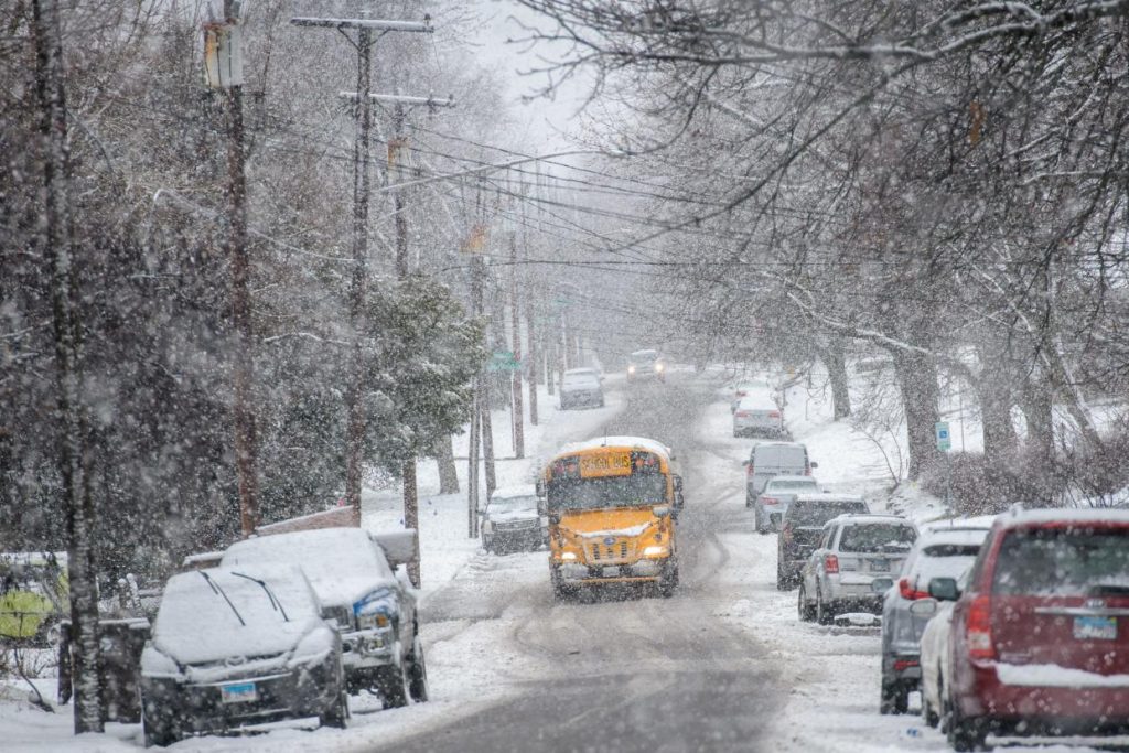
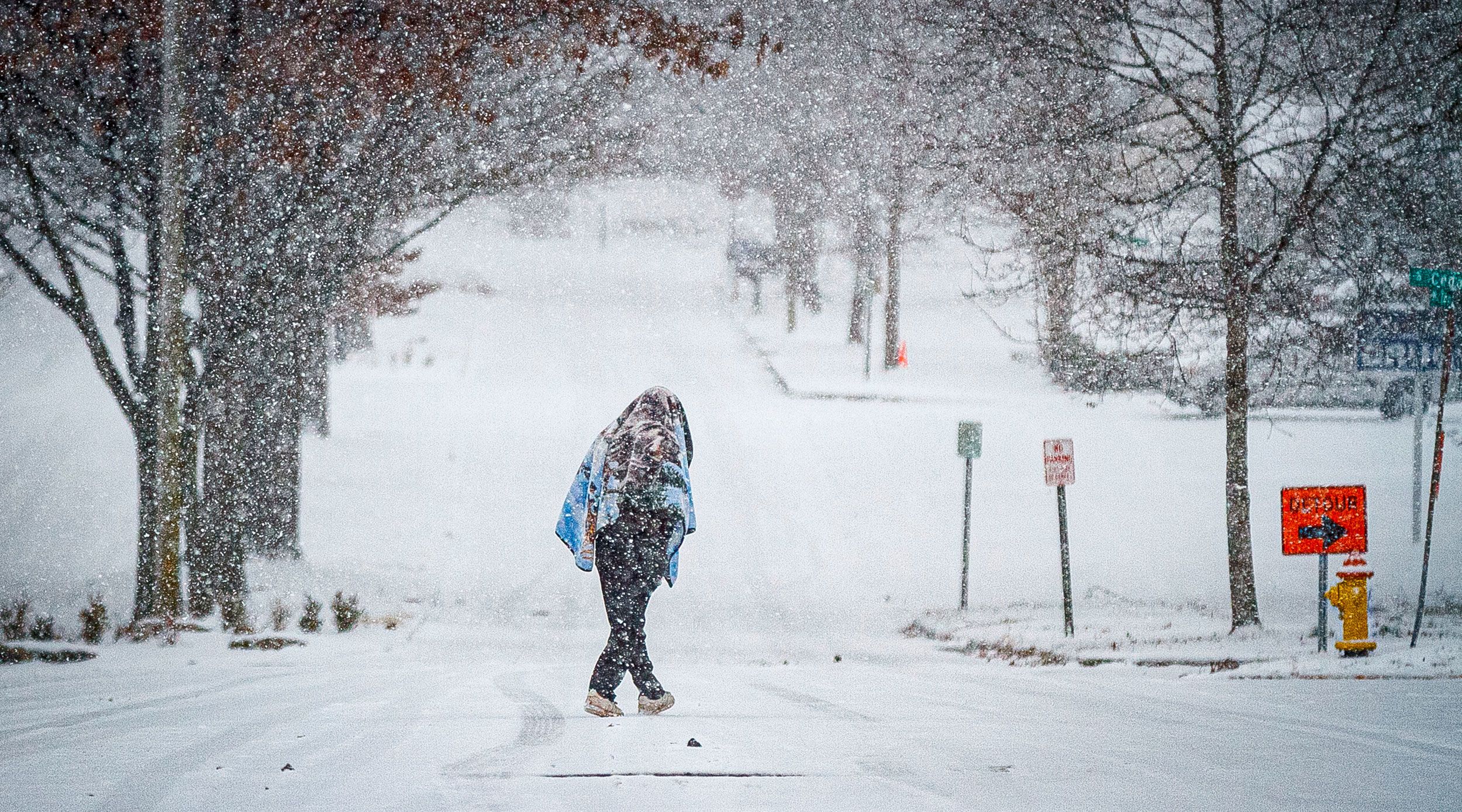
Illinois residents are in for a weekend of extreme winter weather, as forecasters warn of heavy snowfall, dangerously cold temperatures, and life-threatening wind chills. The National Weather Service (NWS) has issued winter storm warnings and advisories for much of the state, urging people to prepare for hazardous travel conditions and bitter cold. The first wave of trouble arrives Saturday, with significant snow accumulation across northern and central Illinois. Then, just as the snow begins to ease, a powerful Arctic cold front will sweep through Sunday night, sending temperatures plunging well below freezing and creating dangerous wind chills as low as -20°F (-29°C).
Saturday: Snowstorm Creates Hazardous Travel
A powerful winter storm system will bring moderate to heavy snowfall across Illinois on Saturday.
- Northern Illinois, including Chicago: Snowfall rates could reach 1 inch per hour, leading to quick accumulations of 3-6 inches. The heaviest snow is expected Saturday afternoon into the evening, making travel extremely dangerous.
- Central Illinois, including Springfield and Peoria: A mix of snow and rain is expected, with total accumulations between 1 to 3 inches. Icy conditions could develop as temperatures drop.
- Southern Illinois, including Carbondale: Mostly rain, but some areas could see a wintry mix before temperatures plummet Sunday night.
Sunday: Deep Freeze and Dangerous Wind Chills
Once the snow moves out, frigid Arctic air will take over, sending temperatures into dangerously low territory.
- Chicago will see highs only in the teens, with lows plunging to -1°F (-18°C) by Sunday night.
- Springfield and Peoria will drop to single digits, with wind chills making it feel like -10°F to -20°F.
- Rockford and other northern areas will be even colder, with wind chills dropping below -20°F (-29°C).
Wind gusts will increase to 30 mph, making it feel even colder and increasing the risk of frostbite in minutes.
Monday: The Coldest Day of the Season
By Monday morning, Illinois will be locked in an Arctic deep freeze, with temperatures barely climbing above zero in some areas.
- Chicago: High of 11°F (-12°C), low of -1°F (-18°C).
- Springfield: High of 15°F (-9°C), low of 4°F (-16°C).
- Rockford: High of 9°F (-13°C), low of -3°F (-19°C).
Even a slight breeze will make temperatures feel much colder, meaning schools, businesses, and travel could be severely impacted.
How to Stay Safe During This Extreme Cold and Snowstorm
- Avoid unnecessary travel: Roads will be slick and snow-covered, and blowing snow could cause whiteout conditions.
- Prepare for power outages: Heavy snow and strong winds could bring down power lines, so keep flashlights, blankets, and backup heat sources ready.
- Dress in layers: Frostbite can occur in under 10 minutes when wind chills drop below -20°F, so cover all exposed skin when outside.
- Check on elderly neighbors and vulnerable individuals: Make sure they have heat, food, and essential supplies.
- Keep pets indoors: If it’s too cold for you, it’s too cold for them—bring pets inside and provide warm shelter.
This Storm Could Be Dangerous—Take It Seriously
This combination of snow and extreme cold could be deadly if precautions aren’t taken. Travel will be hazardous, frostbite can happen in minutes, and icy conditions will persist into next week. Stay indoors, stay warm, and stay safe—because this storm is not one to take lightly.