
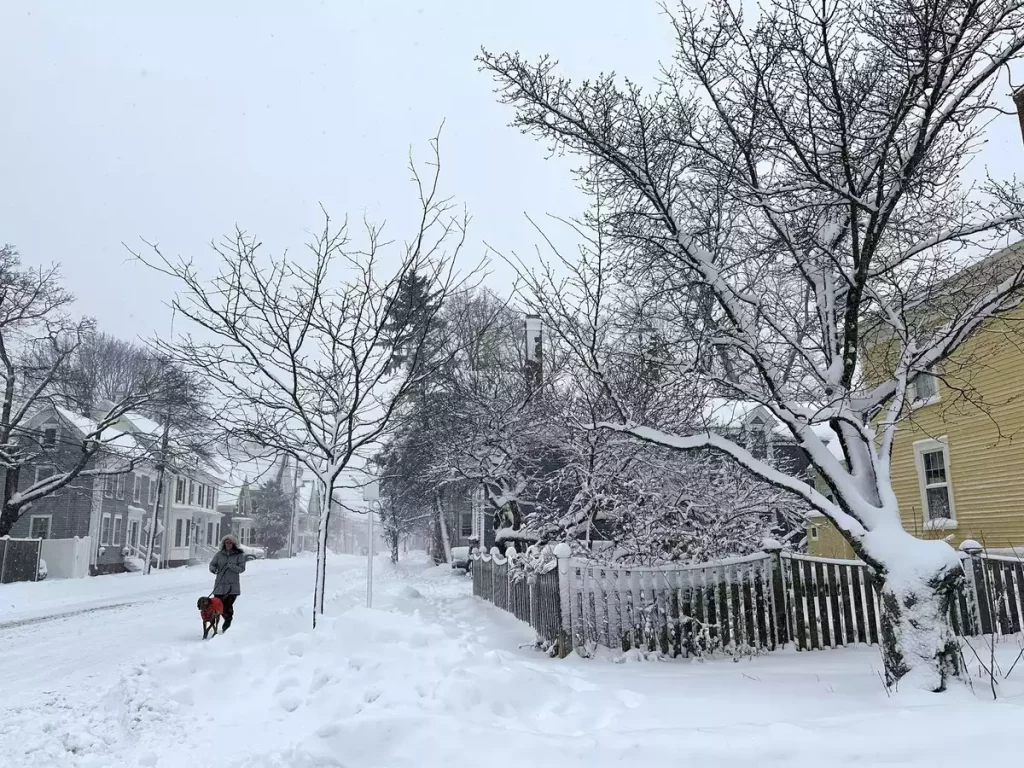
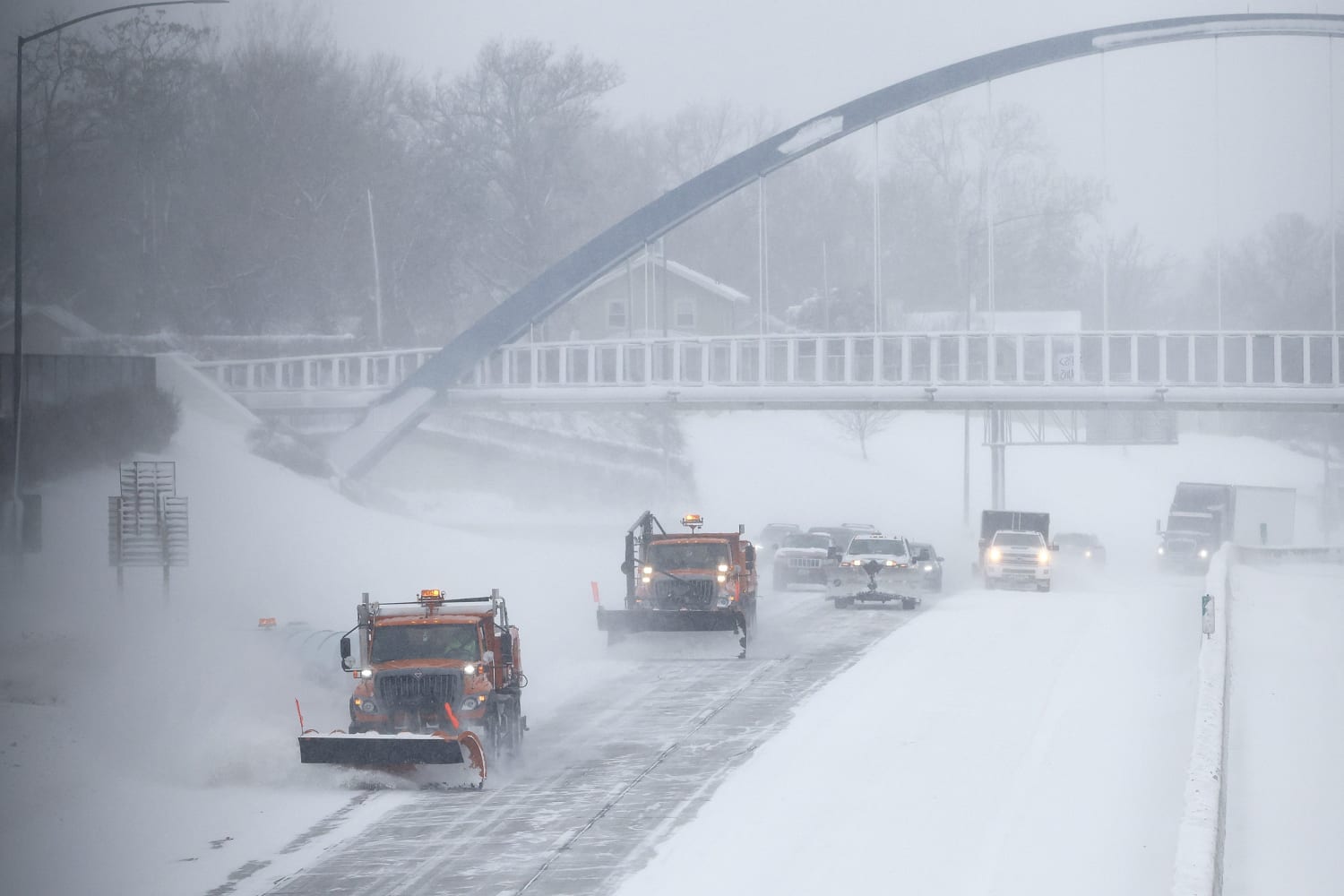
A powerful winter storm is set to slam Kansas this weekend, bringing snow, dangerous road conditions, and an Arctic blast that will send temperatures plummeting below freezing. Forecasters are warning that travel will become hazardous, wind chills could drop to dangerous levels, and prolonged exposure to the cold could be life-threatening.
Saturday: Snowstorm Creates Dangerous Travel Conditions
The storm is expected to move into Kansas early Saturday, February 17, bringing significant snowfall and rapidly deteriorating road conditions.
- Wichita: Snow accumulations of 3 to 6 inches are expected, with gusty winds reducing visibility.
- Topeka: Up to 4 to 7 inches of snow could fall, making roads slippery and dangerous.
- Kansas City: Snow totals between 3 and 5 inches, with temperatures dropping steadily through the day.
Wind gusts up to 30 mph will lead to blowing and drifting snow, making travel nearly impossible in some areas. Officials are urging residents to stay off the roads unless necessary.
Sunday: Arctic Cold Turns Snow to Ice
As the snow begins to taper off on Sunday, a brutal Arctic air mass will move in, bringing a dramatic temperature drop.
- Morning temperatures will start in the 20s°F but will fall into the teens by evening.
- Wind chills could reach -10°F to -20°F, making outdoor exposure extremely dangerous.
- Snowmelt will refreeze overnight, creating black ice on roads and sidewalks.
Wind chills this low can cause frostbite within 10 minutes if the skin is exposed. Authorities are urging people to stay indoors if possible and to bundle up if they must go outside.
Monday: Deep Freeze Sets In Across Kansas
By Monday morning, the state will be locked in an Arctic deep freeze, with high temperatures struggling to reach the teens and overnight lows dropping near or below zero.
- Wichita: High of 12°F (-11°C), low of 0°F (-18°C).
- Topeka: High of 10°F (-12°C), low of -2°F (-19°C).
- Kansas City: High of 9°F (-13°C), low near -3°F (-19°C).
With wind chills dipping below -20°F, schools and businesses may delay openings or close entirely due to the extreme cold.
How to Stay Safe During This Extreme Winter Event
- Avoid Unnecessary Travel – Snow-covered roads and low visibility will make driving extremely dangerous. If you must go out, carry emergency supplies in your vehicle.
- Dress in Layers and Cover Exposed Skin – With wind chills below -20°F, frostbite can happen in minutes. Wear multiple layers, including gloves, hats, and scarves.
- Prepare for Power Outages – Heavy snow and strong winds could lead to downed power lines, so keep flashlights, blankets, and extra batteries on hand.
- Check on Elderly Neighbors and Pets – Those without proper heating are at extreme risk in these conditions. Bring pets indoors and ensure vulnerable individuals have adequate warmth.
Final Warning: Take This Storm Seriously
This isn’t just another winter storm—it’s a dangerous mix of heavy snow, strong winds, and brutally cold temperatures. Kansas residents should take this storm seriously, stay indoors if possible, and prepare for extreme winter conditions. Stay updated with the latest forecasts and don’t take any risks—this cold can be deadly.