
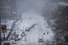
A powerful winter storm is heading toward the Northeast, with New York City expected to face one of its most intense snowfalls of the season. Meteorologists are tracking a developing system that could evolve into a nor’easter, bringing heavy snow, strong winds, and a surge of arctic air that will send temperatures plummeting. Snowfall is expected to start midweek, and forecasts suggest accumulation could be significant. While exact totals are still being determined, experts warn that this storm has the potential to bring widespread disruption. If you have travel plans or outdoor activities scheduled, you may need to rethink them.
When and Where the Storm Will Hit
The system is currently forming over the central U.S., impacting states like Kansas, Colorado, and Missouri early in the week. By late Wednesday into early Friday, the storm is set to intensify as it moves toward the Northeast. New York City, along with parts of New England, will be directly in its path. Meteorologists say this storm could rival some of the biggest snow events of the season, with heavy snowfall rates and whiteout conditions possible. The heaviest snow will likely fall between Wednesday night and Thursday morning, making the Thursday morning commute a nightmare for millions.
How Much Snow Are We Talking About?
While snow totals can still change as the storm develops, early predictions indicate that NYC could see 6-12 inches of accumulation. However, if the system strengthens further, those totals could go even higher. Even more concerning is the polar vortex accompanying the storm. Arctic air will blast through the region, causing temperatures to plummet. Wind chills could make it feel as low as 10-15°F in the city, with even colder conditions in upstate New York and surrounding areas.
What This Means for NYC Residents
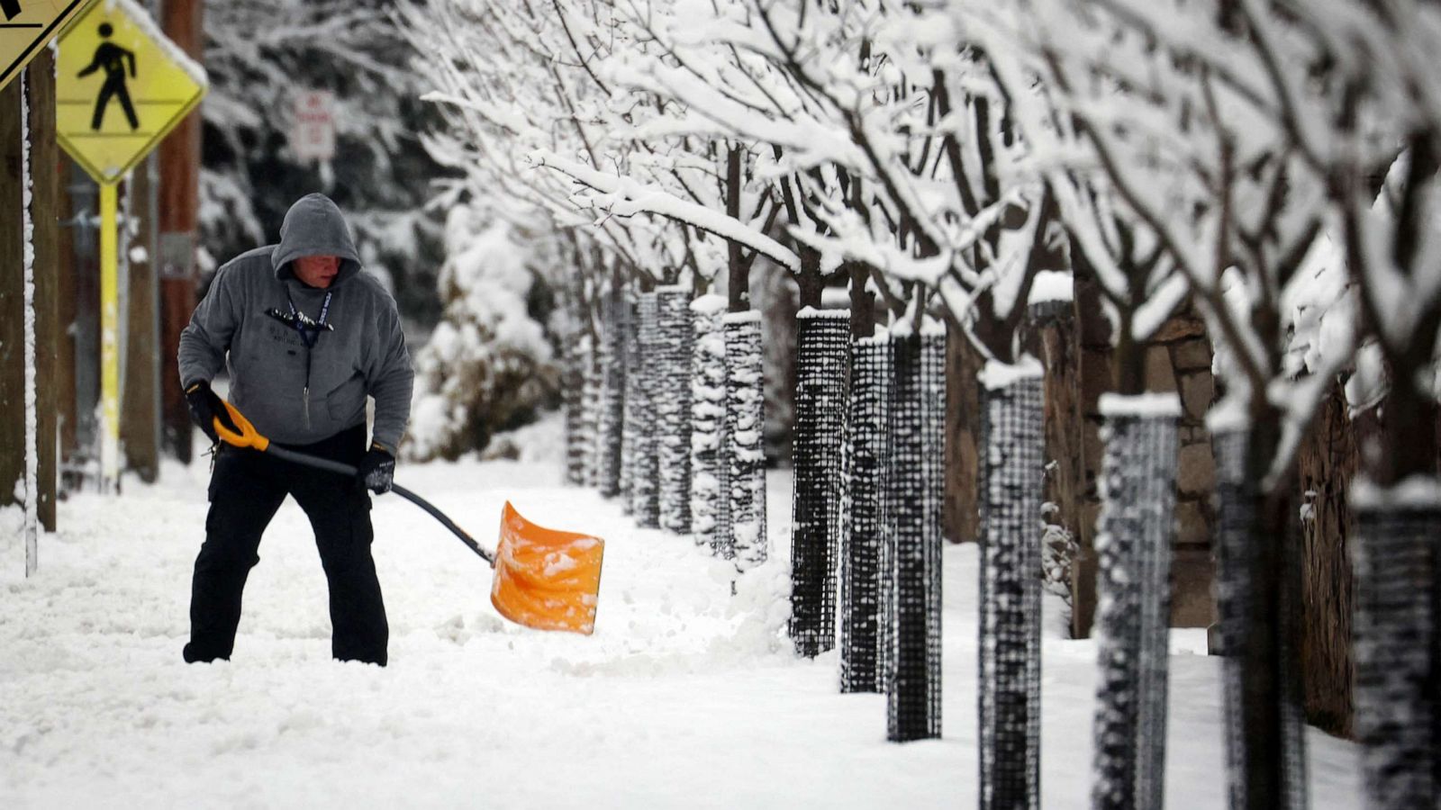
This storm isn’t just about snow—it’s bringing dangerous travel conditions, potential power outages, and severe cold. Here’s what you need to be prepared for:
- Travel Chaos – Roads will be treacherous, and public transportation may see delays or cancellations. If possible, stay off the roads and avoid unnecessary travel.
- Power Outages – Strong winds combined with heavy snow could bring down power lines. Stock up on essentials, including batteries, flashlights, and blankets.
- Extreme Cold Risks – With temperatures plunging and wind chills making it feel even colder, frostbite and hypothermia are real risks. If you must go outside, bundle up in layers and limit your exposure.
What Should You Do Now?
- Stock up on supplies: Make sure you have enough food, water, and medications to last at least a few days in case conditions worsen.
- Charge all your devices: Power outages could leave you without a way to communicate or stay updated.
- Stay informed. Follow local news and weather updates for real-time changes to the forecast.
- Check on family and neighbors: The elderly and those with medical conditions are especially vulnerable in extreme weather.
This storm can potentially be one of the most disruptive weather events of the season. If you live in or around NYC, don’t take this lightly. Prepare now, stay safe, and be ready for a long and challenging winter blast.